·

Enable Location

We need your location to show you interesting places around you

Discover nearby places

Find interesting locations and hidden gems around you

Precise directions

Get accurate directions and distances to places

Your location is never shared with other users. It's only used when you tap the location button.

St. Joseph County

Log in to your account

Start exploring — it's free

Trusted by 62,678 travelers worldwide

Continue with Google
Continue with Apple
or

We will send you a code to connect

By continuing, you accept our Terms and Conditions and our Privacy Policy

Check your inbox

We've sent a pincode in your inbox. Please enter the code below.

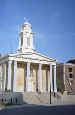
St. Joseph County, Administrative county in northern Indiana, US.

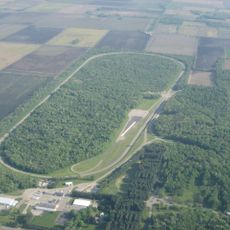
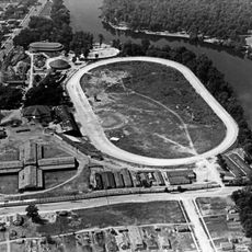
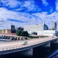
St. Joseph County sits in northern Indiana and covers roughly 461 square miles, with South Bend as its largest city. The area is shaped by the St. Joseph River, which winds through several townships and structures the landscape.

The county was established in 1830 and named after the St. Joseph River that shaped the region. It grew into an industrial area with major economic importance to the state.

The area draws its name from the St. Joseph River, a waterway central to the region. People here maintain ties to industrial heritage and university traditions that shape community life.

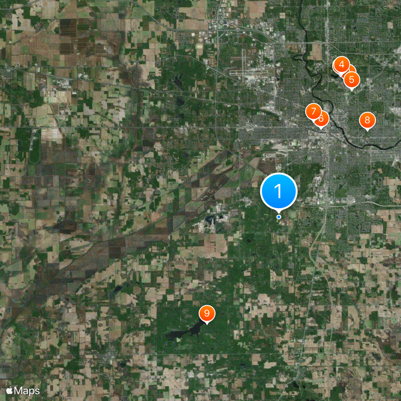
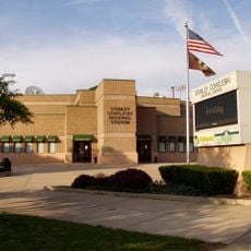
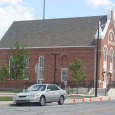
Visitors can explore multiple towns and city centers, best done by car to get around the flat to gently rolling landscape. South Bend is the main hub with most services, dining, and lodging options.

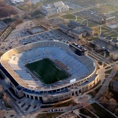
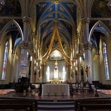
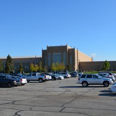
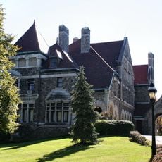
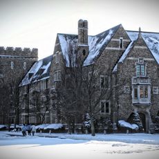
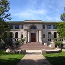
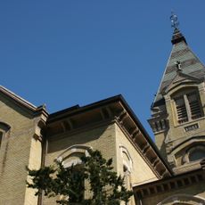
The county is home to the University of Notre Dame campus, one of the nation's most respected universities. This institution shapes the intellectual and sports culture across the entire region.

The community of curious travelers

AroundUs brings together thousands of curated places, local tips, and hidden gems, enriched daily by 60,000 contributors worldwide.

Start exploring
Location
Inception
January 29, 1830
Capital city
South Bend
Elevation above the sea
246 m
Shares border with
Berrien County, Cass County, Elkhart County, Marshall County, Starke County, LaPorte County
GPS coordinates
41.61672,-86.28986
Latest update
December 19, 2025 22:19
Around this place
Notre Dame Stadium
United States of America

Notre Dame Stadium

10.2 km
Basilica of the Sacred Heart, University of Notre Dame
United States of America

Basilica of the Sacred Heart, University of Notre Dame

10.4 km
Main Building
United States of America

Main Building

10.5 km
Compton Family Ice Arena
United States of America

Compton Family Ice Arena

9.9 km
Stanley Coveleski Regional Stadium
United States of America

Stanley Coveleski Regional Stadium

6.6 km
Studebaker National Museum
United States of America

Studebaker National Museum

6.9 km
Potawatomi Zoo
United States of America

Potawatomi Zoo

8.4 km
United States of America

Potato Creek State Park

8.6 km
Bendix Woods
United States of America

Bendix Woods

17.5 km
Tippecanoe Place
United States of America

Tippecanoe Place

7 km
Frank Eck Stadium
United States of America

Frank Eck Stadium

10.2 km
Joseph D. Oliver House
United States of America

Joseph D. Oliver House

7 km
United States of America

Christ and the Samaritan Woman

10.3 km
Snite Museum of Art
United States of America

Snite Museum of Art

10.3 km
Herman T. Mossberg Residence
United States of America

Herman T. Mossberg Residence

6 km
Morris Performing Arts Center
United States of America

Morris Performing Arts Center

7.6 km
Alumni Hall
United States of America

Alumni Hall

10.1 km
Playland Park
United States of America

Playland Park

7.6 km
St. Matthew's Cathedral
United States of America

St. Matthew's Cathedral

6.4 km
St. Casimir Parish, South Bend
United States of America

St. Casimir Parish, South Bend

5.8 km
St. Adalbert Parish, South Bend
United States of America

St. Adalbert Parish, South Bend

6 km
Bond Hall
United States of America

Bond Hall

10.2 km
Log Chapel, University of Notre Dame
United States of America

Log Chapel, University of Notre Dame

10.5 km
Clarke Memorial Fountain
United States of America

Clarke Memorial Fountain

10.5 km
United States of America

Chaplain Corby of Gettysburg

10.4 km
Washington Hall
United States of America

Washington Hall

10.5 km
Central High School & Boys Vocational School
United States of America

Central High School & Boys Vocational School

7.3 km
Ballpark Synagogue
United States of America

Ballpark Synagogue

6.7 km
Show the full map
Administrative divisions
« St. Joseph County - Administrative county in northern Indiana, US » is provided by Around Us (aroundus.com). Images and texts are derived from Wikimedia project under a Creative Commons license. You are allowed to copy, distribute, and modify copies of this page, under the conditions set by the license, as long as this note is clearly visible.

Discover hidden gems everywhere you go!

From secret cafés to breathtaking viewpoints, skip the crowded tourist spots and find places that match your style. Our app makes it easy with voice search, smart filtering, route optimization, and insider tips from travelers worldwide. Download now for the complete mobile experience.

Around Us App Screenshot

A unique approach to discovering new places

Le Figaro

All the places worth exploring

France Info

A tailor-made excursion in just a few clicks

20 Minutes

Around Us
Travel Guide & Maps
Download

Send to your phone

QR Code
1

Open the camera app on your mobile.

2

Point at the QR code with your camera. A notification will appear.

3

Tap the notification to open the link.