Jasper County

Log in to your account

AroundUs is a community-driven map of interesting places, built by curious explorers like you. It grows with every review, story, and photo you share.
Connect to save your favorite spots, contribute locations, and create personalized routes.
Continue with Google
Continue with Apple
Continue with X
Continue with Facebook
Continue with email
By continuing, you accept our Terms and Conditions and our Privacy Policy
Create an account
Add to collection
Map
Suggest a change
Share

Jasper County, Administrative county in Indiana, US

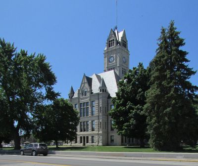
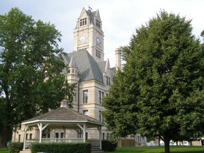
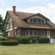
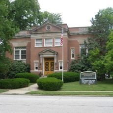
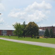
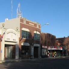
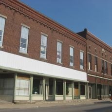
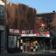
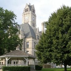
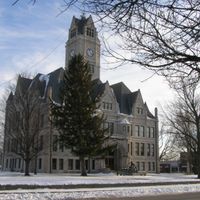
The county is an administrative area in northern Indiana with farmland and several small towns spread throughout. Rensselaer serves as the administrative center and connects different parts of the region.

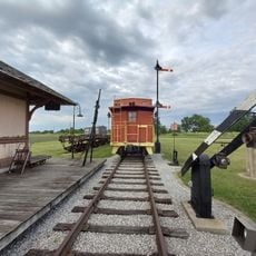
The area was established in 1835 and named after Sergeant William Jasper, a soldier from the American Revolutionary War. Its creation reflected westward expansion and settlement patterns of that era.

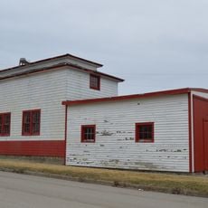
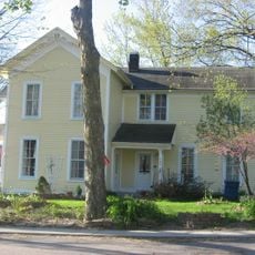
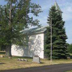
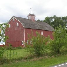
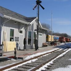
The area is shaped by rural communities centered around local schools and small town centers. Visitors notice the strong connection residents have to the land and farming traditions.

The region is accessible through U.S. Route 231 and several state roads that connect its various towns. Visitors should know that the area is primarily rural and services are concentrated in smaller towns.

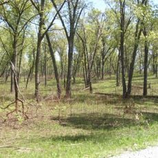
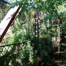
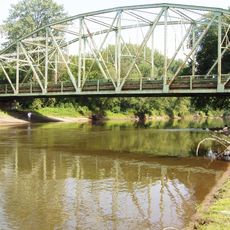
The Iroquois River flows through the area and shapes the landscape along with traditional water use for farming. This waterway remains an important geographic feature that influences local ecology and agricultural practices.

Location: Indiana

Inception: February 7, 1835

Capital city: Rensselaer

Shares border with: Porter County, Lake County, Newton County, Benton County, LaPorte County, Starke County, Pulaski County, White County

Website: http://jaspercountyin.gov

GPS coordinates: 41.03000,-87.12000

Latest update: December 7, 2025 10:07

Photos
Around this place
Steel Hawg
United States of America

Steel Hawg

39.6 km
Fountain Park Chautauqua
United States of America

Fountain Park Chautauqua

28.1 km
George Ade House
United States of America

George Ade House

25.1 km
Conrad Savanna Nature Preserve
United States of America

Conrad Savanna Nature Preserve

30.3 km
Seller's Standard Station and Pullman Diner
United States of America

Seller's Standard Station and Pullman Diner

29.3 km
The Whistle Stop / Monon Connection Museum
United States of America

The Whistle Stop / Monon Connection Museum

24.9 km
Scott-Lucas House
United States of America

Scott-Lucas House

29.9 km
Rensselaer Carnegie Library
United States of America

Rensselaer Carnegie Library

10.6 km
Eli Sigler House
United States of America

Eli Sigler House

32.7 km
Collier Lodge Site
United States of America

Collier Lodge Site

27.6 km
Goodland-Grant Township Public Library
United States of America

Goodland-Grant Township Public Library

32.9 km
Independence Methodist Church
United States of America

Independence Methodist Church

14.9 km
Oren F. and Adelia Parker House
United States of America

Oren F. and Adelia Parker House

11 km
Clinton D. Gilson Barn
United States of America

Clinton D. Gilson Barn

34.7 km
McCairn-Turner House
United States of America

McCairn-Turner House

32.9 km
Charles Halleck Student Center
United States of America

Charles Halleck Student Center

12.5 km
Rensselaer Courthouse Square Historic District
United States of America

Rensselaer Courthouse Square Historic District

10.8 km
Monon Commercial Historic District
United States of America

Monon Commercial Historic District

27.7 km
Hugh and Leona Rank House
United States of America

Hugh and Leona Rank House

13.4 km
Schwietermann Hall
United States of America

Schwietermann Hall

12.7 km
Ritz Cinema
United States of America

Ritz Cinema

10.9 km
Hoosier Valley Railroad Museum
United States of America

Hoosier Valley Railroad Museum

36 km
Jasper County Courthouse
United States of America

Jasper County Courthouse

10.8 km
Carpenter Creek CR 1730S Bridge
United States of America

Carpenter Creek CR 1730S Bridge

28.8 km
Dog Face Bridge
United States of America

Dog Face Bridge

29.6 km
First Church,
United States of America

First Church,

17.7 km
Little Monon Creek Bridge
United States of America

Little Monon Creek Bridge

30.4 km
Kankakee River IN 49 Bridge
United States of America

Kankakee River IN 49 Bridge

26 km
Show the full map
Reviews

Visited this place? Tap the stars to rate it and share your experience / photos with the community! Try now! You can cancel it anytime.

Administrative divisions
« Jasper County - Administrative county in Indiana, US » is provided by Around Us (aroundus.com). Images and texts are derived from Wikimedia project under a Creative Commons license. You are allowed to copy, distribute, and modify copies of this page, under the conditions set by the license, as long as this note is clearly visible.

Discover hidden gems everywhere you go!

From secret cafés to breathtaking viewpoints, skip the crowded tourist spots and find places that match your style. Our app makes it easy with voice search, smart filtering, route optimization, and insider tips from travelers worldwide. Download now for the complete mobile experience.

Around Us App Screenshot

A unique approach to discovering new places

Le Figaro

All the places worth exploring

France Info

A tailor-made excursion in just a few clicks

20 Minutes