Franklin County, Administrative county in eastern Indiana, US
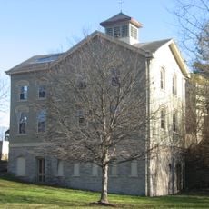
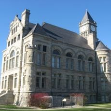
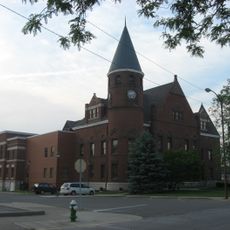
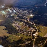
Franklin County is an administrative area in eastern Indiana covering about 1,000 square kilometers (390 square miles) of land and water. The county is governed from Brookville, where the main government center houses multiple departments including Assessment, Economic Development, and Health Services.
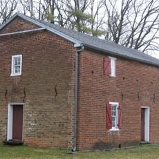
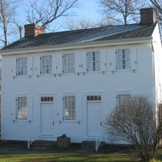
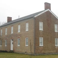
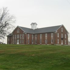
The county was founded in 1811 and named after Benjamin Franklin, reflecting the founders' respect for early American ideals. Early settlers from Virginia, including those who built Little Cedar Grove Baptist Church, established the region's cultural and religious foundation.
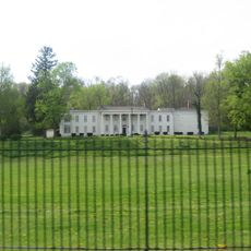
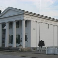
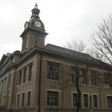
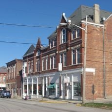
Brookville, the county seat, was home to three consecutive Indiana governors, giving the region political significance that lasted for generations. This connection to state leadership shaped local identity and made the place an important point in the state's political history.
Visiting this rural region requires a car, as public transportation is limited and places are spread out across the countryside. The best time to explore is during warmer months, when roads are easy to travel and the lake water is accessible for swimming and recreation.
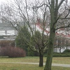
Brookville Lake, created by damming the East Branch of the Whitewater River, stretches through the northern section and creates a recreation landscape that surprises many visitors. This artificial body of water became a defining feature of the county and offers activities unexpected in a typical rural administrative area.
The community of curious travelers
AroundUs brings together thousands of curated places, local tips, and hidden gems, enriched daily by 60,000 contributors worldwide.