Knox County

Log in to your account

AroundUs is a community-driven map of interesting places, built by curious explorers like you. It grows with every review, story, and photo you share.
Connect to save your favorite spots, contribute locations, and create personalized routes.
Continue with Google
Continue with Apple
Continue with X
Continue with Facebook
Continue with email
By continuing, you accept our Terms and Conditions and our Privacy Policy
Create an account
Add to collection
Map
Suggest a change
Share

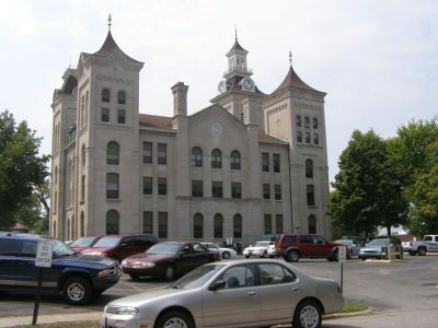
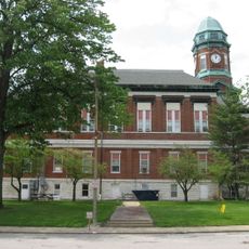
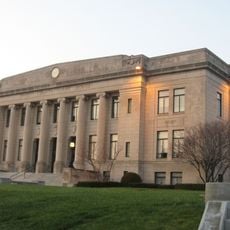
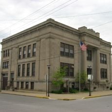
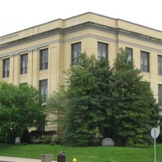
Knox County, County administration center in Vincennes, US.

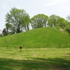
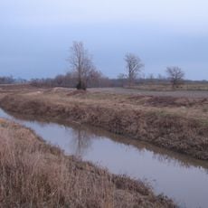
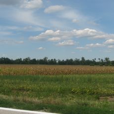
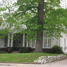
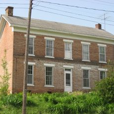
Knox County is an administrative region in western Indiana with its government center in Vincennes. The area spans rolling terrain along the Wabash River where farmland and local services form the backbone of community life.

This area was created in 1790 as one of the first two administrative divisions of the Northwest Territory and originally covered land that would later become parts of other states. That founding era makes it among the oldest governmental areas in this part of America.

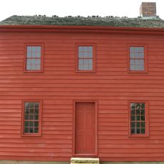
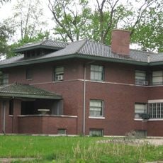
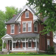
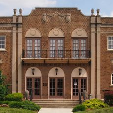
The courthouse in Vincennes stands as the visual heart of local governance and reflects 19th-century building traditions. Walking around this area, you can observe how the community has organized its civic life for nearly two centuries.

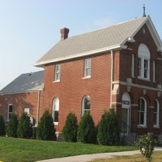
The Knox County Public Library provides access to local administrative documents and newspaper archives for visitors to review. With the government center located in Vincennes, the area is easy to reach and offers standard services for travelers.

The local archives hold documents from the 1780s, including land records that show how the first settlers documented property ownership. These early papers offer insight into everyday life and property arrangements from the founding era.

Location: Indiana

Inception: June 20, 1790

Capital city: Vincennes

Shares border with: Sullivan County, Greene County, Daviess County, Pike County, Gibson County, Wabash County, Lawrence County, Crawford County

Website: http://knoxcounty.in.gov

GPS coordinates: 38.69000,-87.42000

Latest update: December 7, 2025 19:27

Photos
Around this place
Grouseland
United States of America

Grouseland

9.2 km
George Rogers Clark National Historical Park
United States of America

George Rogers Clark National Historical Park

10.1 km
Forts of Vincennes
United States of America

Forts of Vincennes

10.1 km
St. Francis Xavier Cathedral and Library
United States of America

St. Francis Xavier Cathedral and Library

10 km
Lincoln Memorial Bridge
United States of America

Lincoln Memorial Bridge

10.1 km
Pyramid Mound
United States of America

Pyramid Mound

7.8 km
Patoka River National Wildlife Refuge and Management Area
United States of America

Patoka River National Wildlife Refuge and Management Area

37.5 km
Indiana Territorial Capitol
United States of America

Indiana Territorial Capitol

9.2 km
Prairie Creek Site
United States of America

Prairie Creek Site

22.3 km
Shadowwood
United States of America

Shadowwood

1.1 km
Robert C. Graham House
United States of America

Robert C. Graham House

21.2 km
Dr. Nelson Wilson House
United States of America

Dr. Nelson Wilson House

21.7 km
Vincennes Fortnightly Club
United States of America

Vincennes Fortnightly Club

9.2 km
Bridge at Thirteenth Street
United States of America

Bridge at Thirteenth Street

23 km
Swan Island Site
United States of America

Swan Island Site

20.8 km
Old State Bank
United States of America

Old State Bank

9.7 km
Lawrence County Courthouse
United States of America

Lawrence County Courthouse

23.2 km
Hack and Simon Office Building
United States of America

Hack and Simon Office Building

8.7 km
County Bridge No. 45
United States of America

County Bridge No. 45

12.9 km
Daviess County Courthouse
United States of America

Daviess County Courthouse

21.8 km
Patoka Bridges Historic District
United States of America

Patoka Bridges Historic District

35.1 km
Magnus J. Carnahan House
United States of America

Magnus J. Carnahan House

22.1 km
Thomas Faith House
United States of America

Thomas Faith House

22.7 km
Dr. John A. Scudder House
United States of America

Dr. John A. Scudder House

22.2 km
Washington Commercial Historic District
United States of America

Washington Commercial Historic District

21.8 km
Pike County Courthouse
United States of America

Pike County Courthouse

25.3 km
Indiana Military Museum
United States of America

Indiana Military Museum

10.4 km
Alfred Simonson House
United States of America

Alfred Simonson House

20.1 km
Show the full map
Reviews

Visited this place? Tap the stars to rate it and share your experience / photos with the community! Try now! You can cancel it anytime.

Administrative divisions
« Knox County - County administration center in Vincennes, US » is provided by Around Us (aroundus.com). Images and texts are derived from Wikimedia project under a Creative Commons license. You are allowed to copy, distribute, and modify copies of this page, under the conditions set by the license, as long as this note is clearly visible.

Discover hidden gems everywhere you go!

From secret cafés to breathtaking viewpoints, skip the crowded tourist spots and find places that match your style. Our app makes it easy with voice search, smart filtering, route optimization, and insider tips from travelers worldwide. Download now for the complete mobile experience.

Around Us App Screenshot

A unique approach to discovering new places

Le Figaro

All the places worth exploring

France Info

A tailor-made excursion in just a few clicks

20 Minutes