·

Enable Location

We need your location to show you interesting places around you

Discover nearby places

Find interesting locations and hidden gems around you

Precise directions

Get accurate directions and distances to places

Your location is never shared with other users. It's only used when you tap the location button.

Vanderburgh County

Log in to your account

Start exploring — it's free

Trusted by 62,679 travelers worldwide

Continue with Google
Continue with Apple
or

We will send you a code to connect

By continuing, you accept our Terms and Conditions and our Privacy Policy

Check your inbox

We've sent a pincode in your inbox. Please enter the code below.

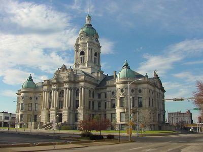
Vanderburgh County, Administrative county in southwestern Indiana, US.

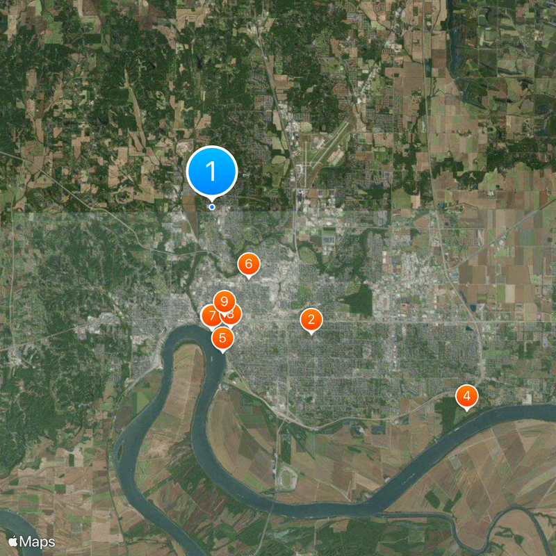
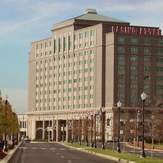
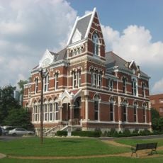
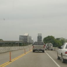
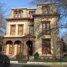
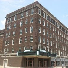
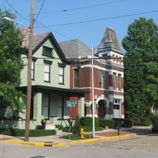
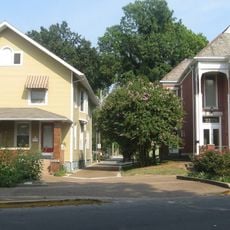
Vanderburgh County is located in southwestern Indiana with the Ohio River forming its southern border and Evansville as its administrative center. The area spans multiple municipalities and urban districts with both rural and developed sections.

The county was established in 1818 and named after Captain Henry Vanderburgh, a military officer in the Northwest Territory administration. Its creation coincided with westward expansion and early settlement in the region.

The West Side Nut Club Fall Festival draws thousands of visitors each year with local food specialties, rides, and performances from community members. The event reflects how people here connect through traditional harvest celebrations and regional traditions.

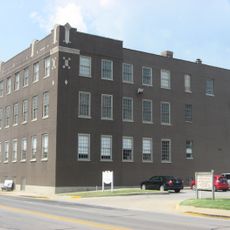
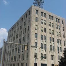
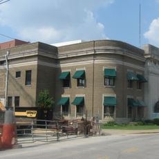
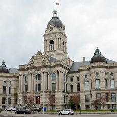
The county is administered through several departments including the Sheriff's Office, Health Department, and Highway Department. Visitors can contact these offices or the Evansville visitor center for information about the area.

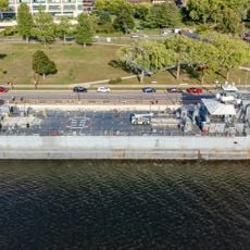
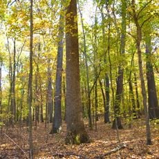
The county is home to Burdette Park with an aquatic center, miniature golf courses, and camping facilities across roughly 170 acres. The park offers year-round recreational activities and reflects local commitment to public leisure spaces.

The community of curious travelers

AroundUs brings together thousands of curated places, local tips, and hidden gems, enriched daily by 60,000 contributors worldwide.

Start exploring
Location
Inception
January 7, 1818
Capital city
Evansville
Shares border with
Gibson County, Henderson County, Posey County, Warrick County
GPS coordinates
38.02000,-87.58000
Latest update
December 20, 2025 14:33
Around this place
University of Evansville
United States of America

University of Evansville

6.9 km
USS LST-325
United States of America

USS LST-325

5.2 km
Angel Mounds
United States of America

Angel Mounds

14 km
General Cigar Company
United States of America

General Cigar Company

6.2 km
United States of America

Bosse Field

3.4 km
Casino Aztar Evansville
United States of America

Casino Aztar Evansville

5.3 km
Indiana Bell Building
United States of America

Indiana Bell Building

5.2 km
Willard Library
United States of America

Willard Library

4.7 km
Mesker Park Zoo and Botanic Garden
United States of America

Mesker Park Zoo and Botanic Garden

3.2 km
United States of America

Interstate 69 Ohio River Crossing

13.9 km
Evansville Museum of Arts, History and Science
United States of America

Evansville Museum of Arts, History and Science

6.1 km
Bi-State Vietnam Gold Star Bridges
United States of America

Bi-State Vietnam Gold Star Bridges

13.1 km
Reitz Home Museum
United States of America

Reitz Home Museum

5.9 km
United States of America

Burdette Park

9.9 km
Soldiers and Sailors Memorial Coliseum
United States of America

Soldiers and Sailors Memorial Coliseum

5.1 km
Old Vanderburgh County Courthouse
United States of America

Old Vanderburgh County Courthouse

5.2 km
Victory Theatre
United States of America

Victory Theatre

5.3 km
Wesselman Woods Nature Preserve
United States of America

Wesselman Woods Nature Preserve

7.6 km
United States of America

International World War Peace Tree

7.2 km
Children's Museum of Evansville
United States of America

Children's Museum of Evansville

5.5 km
St. Benedict Cathedral
United States of America

St. Benedict Cathedral

6.5 km
Riverside Historic District
United States of America

Riverside Historic District

6.3 km
United States of America

Old Vanderburgh County Jail

5.2 km
Bayard Park Neighborhood
United States of America

Bayard Park Neighborhood

6.6 km
Oak Hill Cemetery
United States of America

Oak Hill Cemetery

5.2 km
Alhambra Theatorium
United States of America

Alhambra Theatorium

6.6 km
Washington Avenue Historic District
United States of America

Washington Avenue Historic District

6.5 km
Hulman Building
United States of America

Hulman Building

5.4 km
Show the full map
Administrative divisions
« Vanderburgh County - Administrative county in southwestern Indiana, US » is provided by Around Us (aroundus.com). Images and texts are derived from Wikimedia project under a Creative Commons license. You are allowed to copy, distribute, and modify copies of this page, under the conditions set by the license, as long as this note is clearly visible.

Discover hidden gems everywhere you go!

From secret cafés to breathtaking viewpoints, skip the crowded tourist spots and find places that match your style. Our app makes it easy with voice search, smart filtering, route optimization, and insider tips from travelers worldwide. Download now for the complete mobile experience.

Around Us App Screenshot

A unique approach to discovering new places

Le Figaro

All the places worth exploring

France Info

A tailor-made excursion in just a few clicks

20 Minutes

Around Us
Travel Guide & Maps
Download

Send to your phone

QR Code
1

Open the camera app on your mobile.

2

Point at the QR code with your camera. A notification will appear.

3

Tap the notification to open the link.