·

Enable Location

We need your location to show you interesting places around you

Discover nearby places

Find interesting locations and hidden gems around you

Precise directions

Get accurate directions and distances to places

Your location is never shared with other users. It's only used when you tap the location button.

White County

Log in to your account

Start exploring — it's free

Trusted by 62,678 travelers worldwide

Continue with Google
Continue with Apple
or

We will send you a code to connect

By continuing, you accept our Terms and Conditions and our Privacy Policy

Check your inbox

We've sent a pincode in your inbox. Please enter the code below.

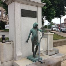
White County, Administrative county in Indiana, United States.

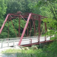
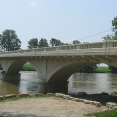
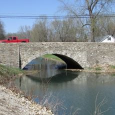
White County is an administrative county in north-central Indiana with gently rolling hills and the Tippecanoe River flowing through its central region. The terrain spans approximately 508 square miles with a mix of farmland and small communities.

The county was established in February 1834 and named after Colonel Isaac White, a mining geologist who worked with Governor William Henry Harrison. This founding marked an important step in settling and organizing northern Indiana's territory.

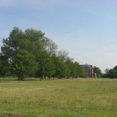
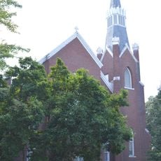
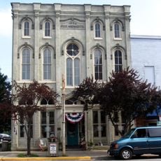
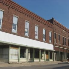
Agriculture shapes daily life throughout the county, where farms and fields dominate the landscape and regular community events bring people together. These traditions are visible in how residents work the land and maintain connections across the region.

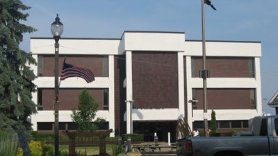
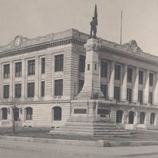
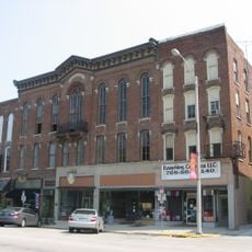
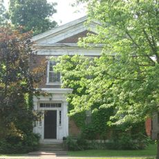
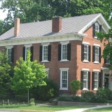
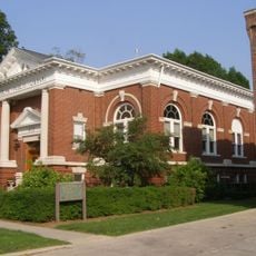
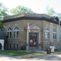
The county government center is located in Monticello on North Main Street and handles property taxes, court records, and basic administrative services. Visitors can find main administrative offices there for county-related matters.

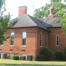
The county operates through multiple separate school districts serving different geographic zones, ensuring educational access throughout the rural area. Each zone maintains its own schools, allowing communities to manage their education systems locally.

The community of curious travelers

AroundUs brings together thousands of curated places, local tips, and hidden gems, enriched daily by 60,000 contributors worldwide.

Start exploring
Location
Inception
1834
Capital city
Monticello
Shares border with
Pulaski County, Cass County, Carroll County, Tippecanoe County, Benton County, Jasper County
GPS coordinates
40.75000,-86.86000
Latest update
December 7, 2025 20:24
Around this place
United States of America

Indiana Beach

8.8 km
United States of America

Wabash and Erie Canal

23.3 km
Steel Hawg
United States of America

Steel Hawg

8.7 km
Lost Coaster of Superstition Mountain
United States of America

Lost Coaster of Superstition Mountain

8.7 km
Cornball Express
United States of America

Cornball Express

8.7 km
Hoosier Hurricane
United States of America

Hoosier Hurricane

8.8 km
Tig'rr Coaster
United States of America

Tig'rr Coaster

8.8 km
Wilson Bridge
United States of America

Wilson Bridge

26.8 km
Carroll County Courthouse
United States of America

Carroll County Courthouse

24 km
Soldiers and Sailors Monument
United States of America

Soldiers and Sailors Monument

24 km
Carrollton Bridge
United States of America

Carrollton Bridge

20.6 km
James Culbertson Reynolds House
United States of America

James Culbertson Reynolds House

8.3 km
The Whistle Stop / Monon Connection Museum
United States of America

The Whistle Stop / Monon Connection Museum

16.6 km
Murphy Memorial Drinking Fountain
United States of America

Murphy Memorial Drinking Fountain

24 km
Pulaski County Bridge No. 31
United States of America

Pulaski County Bridge No. 31

23.8 km
Delphi Courthouse Square Historic District
United States of America

Delphi Courthouse Square Historic District

24 km
Monticello Carnegie Library
United States of America

Monticello Carnegie Library

8.4 km
White County Asylum
United States of America

White County Asylum

8.4 km
Foreman-Case House
United States of America

Foreman-Case House

24.2 km
Barnett-Seawright-Wilson House
United States of America

Barnett-Seawright-Wilson House

23.9 km
Deer Creek Valley Rural Historic District
United States of America

Deer Creek Valley Rural Historic District

26.1 km
South Grade School Building
United States of America

South Grade School Building

8.4 km
Delphi Methodist Episcopal Church
United States of America

Delphi Methodist Episcopal Church

23.9 km
Niewerth Building
United States of America

Niewerth Building

24.1 km
Monon Commercial Historic District
United States of America

Monon Commercial Historic District

12.5 km
Delphi Public Library
United States of America

Delphi Public Library

24.2 km
O'Connor Bridge
United States of America

O'Connor Bridge

23.2 km
Little Monon Creek Bridge
United States of America

Little Monon Creek Bridge

10.7 km
Show the full map
Administrative divisions
« White County - Administrative county in Indiana, United States » is provided by Around Us (aroundus.com). Images and texts are derived from Wikimedia project under a Creative Commons license. You are allowed to copy, distribute, and modify copies of this page, under the conditions set by the license, as long as this note is clearly visible.

Discover hidden gems everywhere you go!

From secret cafés to breathtaking viewpoints, skip the crowded tourist spots and find places that match your style. Our app makes it easy with voice search, smart filtering, route optimization, and insider tips from travelers worldwide. Download now for the complete mobile experience.

Around Us App Screenshot

A unique approach to discovering new places

Le Figaro

All the places worth exploring

France Info

A tailor-made excursion in just a few clicks

20 Minutes

Around Us
Travel Guide & Maps
Download

Send to your phone

QR Code
1

Open the camera app on your mobile.

2

Point at the QR code with your camera. A notification will appear.

3

Tap the notification to open the link.