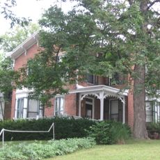
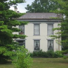
Wayne County, County administrative division in Indiana, US
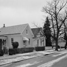
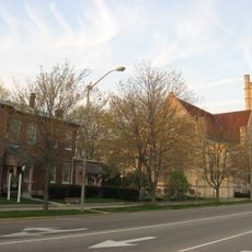
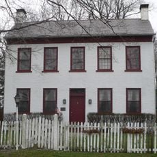
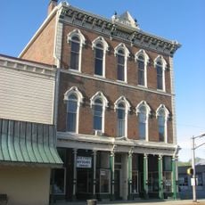
Wayne County is an administrative division in east central Indiana that borders Ohio and includes numerous townships and communities. The county encompasses diverse landscapes with several population centers distributed across its territory.
Wayne County was named after General Anthony Wayne, a Revolutionary War military commander, when it was established in 1810. This naming reflected the region's connection to early American military figures and history.
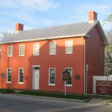
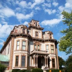
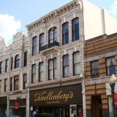
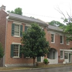
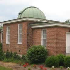
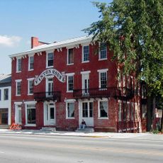
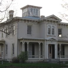
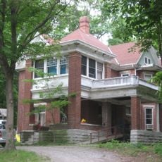
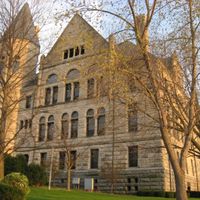
Richmond, the county seat, hosts Earlham College, a liberal arts school that shapes the region's educational life.
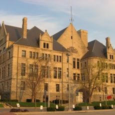
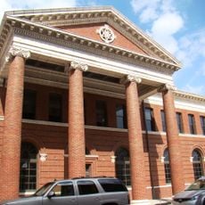
County operations are managed by a County Council that sets policies and budgets, with a Board of Commissioners overseeing daily administration. Visitors can find information at local facilities throughout Richmond and other communities in the area.
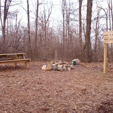
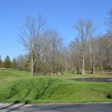
The area contains Hoosier Hill, Indiana's highest natural point standing at about 1,250 feet (380 meters). This geographic feature often goes unnoticed despite being the state's loftiest natural elevation.
The community of curious travelers
AroundUs brings together thousands of curated places, local tips, and hidden gems, enriched daily by 60,000 contributors worldwide.