Enable Location

We need your location to show you interesting places around you

Discover nearby places

Find interesting locations and hidden gems around you

Precise directions

Get accurate directions and distances to places

Your location is never shared with other users. It's only used when you tap the location button.

Morgan County

Log in to your account

Start exploring — it's free

Trusted by 62,118 travelers worldwide

Continue with Google
Continue with Apple
or

We will send you a code to connect

By continuing, you accept our Terms and Conditions and our Privacy Policy

Check your inbox

We've sent a pincode in your inbox. Please enter the code below.

Morgan County, Administrative county in Indiana, United States.

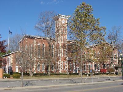
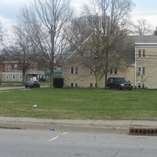
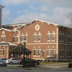
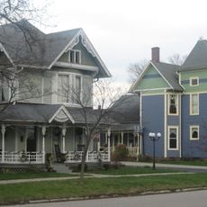
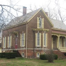
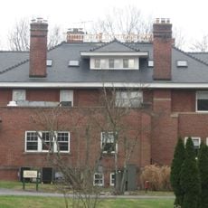
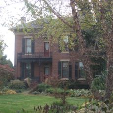
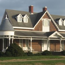
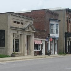
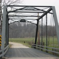
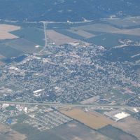
Morgan County is an administrative division in Indiana with a landscape of farmland, residential neighborhoods, and the White River flowing through it. Towns and smaller communities are scattered across the region, with Martinsville serving as the county seat.

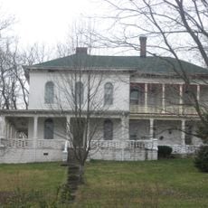
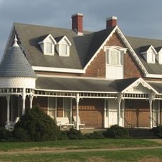
The county was established in 1822 and named after General Daniel Morgan from the American Revolutionary War. It developed throughout the 1800s as an agricultural region and maintained that rural character.

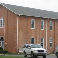
The Morgan County Public Library system maintains six branch locations, providing educational resources and community programs throughout the region.

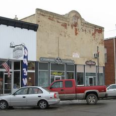
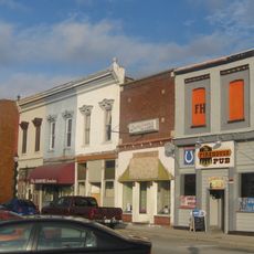
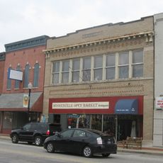
A car is helpful for exploring the county since communities are spread out and public transportation options are limited. Essential services and amenities are concentrated in Martinsville and other town centers.

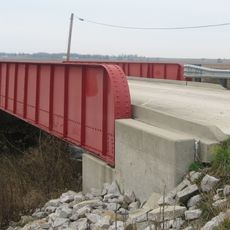
The county experienced early industrial development with mills and processing plants that relied on waterways to power operations. These facilities shaped the local economy beyond just agriculture.

The community of curious travelers

AroundUs brings together thousands of curated places, local tips, and hidden gems, enriched daily by 60,000 contributors worldwide.

Start exploring
Location
Inception
December 31, 1821
Capital city
Martinsville
Shares border with
Hendricks County, Marion County, Johnson County, Brown County, Monroe County, Putnam County, Owen County
GPS coordinates
39.48000,-86.45000
Latest update
December 7, 2025 19:25
Around this place
Yellowwood State Forest
United States of America

Yellowwood State Forest

18.9 km
Morgan–Monroe State Forest
United States of America

Morgan–Monroe State Forest

18 km
Goethe Link Observatory
United States of America

Goethe Link Observatory

9.1 km
Hall School
United States of America

Hall School

11 km
Hite-Finney House
United States of America

Hite-Finney House

6.1 km
Lake Ditch Bridge
United States of America

Lake Ditch Bridge

12.6 km
Morgan County Public Library
United States of America

Morgan County Public Library

6.4 km
Morgan County Courthouse
United States of America

Morgan County Courthouse

6.1 km
East Washington Street Historic District
United States of America

East Washington Street Historic District

6.4 km
Crawford-Gilpin House
United States of America

Crawford-Gilpin House

6.3 km
Morgantown Historic District
United States of America

Morgantown Historic District

20.1 km
Martinsville Commercial Historic District
United States of America

Martinsville Commercial Historic District

6.1 km
Bradford Estate
United States of America

Bradford Estate

3 km
Heck-Hasler House
United States of America

Heck-Hasler House

22.7 km
Mooresville Friends Academy Building
United States of America

Mooresville Friends Academy Building

16.1 km
Blackstone House and Martinsville Telephone Company Building
United States of America

Blackstone House and Martinsville Telephone Company Building

6.3 km
Gosport Historic District
United States of America

Gosport Historic District

23.4 km
Lamb's Creek Bridge
United States of America

Lamb's Creek Bridge

6.6 km
Dr. H.G. Osgood House
United States of America

Dr. H.G. Osgood House

23.5 km
McCormack-Bowman House
United States of America

McCormack-Bowman House

20.9 km
Mooresville Commercial Historic District
United States of America

Mooresville Commercial Historic District

16.1 km
Blankenship-Hodges-Brown House
United States of America

Blankenship-Hodges-Brown House

13.8 km
Neely House
United States of America

Neely House

6.3 km
Martinsville Northside Historic District
United States of America

Martinsville Northside Historic District

5.9 km
Low Gap Trail
United States of America

Low Gap Trail

18.9 km
Franklin Landers-Black and Adams Farm
United States of America

Franklin Landers-Black and Adams Farm

9.2 km
Blackstone House and Martinsville Telephone Company Building
United States of America

Blackstone House and Martinsville Telephone Company Building

6.3 km
Mooresville Friends Academy Building
United States of America

Mooresville Friends Academy Building

16.1 km
Show the full map
Administrative divisions
« Morgan County - Administrative county in Indiana, United States » is provided by Around Us (aroundus.com). Images and texts are derived from Wikimedia project under a Creative Commons license. You are allowed to copy, distribute, and modify copies of this page, under the conditions set by the license, as long as this note is clearly visible.

Discover hidden gems everywhere you go!

From secret cafés to breathtaking viewpoints, skip the crowded tourist spots and find places that match your style. Our app makes it easy with voice search, smart filtering, route optimization, and insider tips from travelers worldwide. Download now for the complete mobile experience.

Around Us App Screenshot

A unique approach to discovering new places

Le Figaro

All the places worth exploring

France Info

A tailor-made excursion in just a few clicks

20 Minutes

Around Us
Travel Guide & Maps
Download

Send to your phone

QR Code
1

Open the camera app on your mobile.

2

Point at the QR code with your camera. A notification will appear.

3

Tap the notification to open the link.