Clark County, County administrative division in southern Indiana, United States.
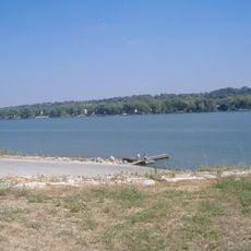
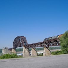
Clark County is an administrative division in southern Indiana that includes Jeffersonville as its main city, along with smaller towns, farming areas, and residential communities. The region lies along the Ohio River, which creates a natural border with Kentucky.
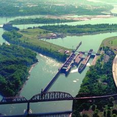
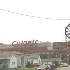
The county was established in 1801 as part of the early administrative organization of Indiana Territory during its settlement period. Its growth was closely tied to transportation and commerce along the Ohio River corridor.
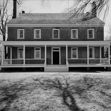
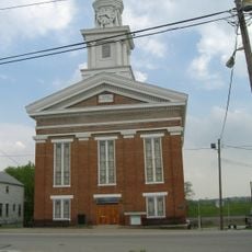
Local communities maintain their heritage through regular township meetings, county fairs, and seasonal celebrations that bring together residents from Jeffersonville and surrounding areas.
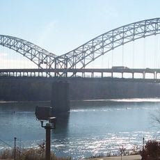
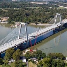
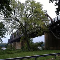
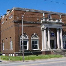
Jeffersonville serves as the county seat where administrative services for residents are located. The area is easily explored by car, with bridges crossing the Ohio River providing connections to Kentucky.
The position along the Ohio River creates a natural border with Kentucky, connecting Indiana to Louisville through multiple bridges and transportation routes.
The community of curious travelers
AroundUs brings together thousands of curated places, local tips, and hidden gems, enriched daily by 60,000 contributors worldwide.