Charlestown State Park, State park in Clark County, Indiana, US
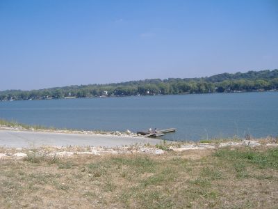
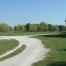
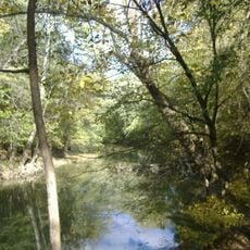
Charlestown State Park is a natural area along the Ohio River in Clark County, Indiana. The terrain combines steep limestone bluffs, dense forest, and creek valleys connected by a network of trails.
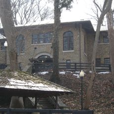
The land served as a military ammunition plant for several decades before closing in the early 1990s. After that, it gradually opened to the public as a state park over the following years.
The land that once held an ammunition plant is now a place where visitors can watch nature take back former industrial ground. Rangers at the nature center run regular programs showing which animals and plants have moved into this recovering area.
Stopping at the visitor center first helps you pick a trail that suits your pace and the time you have. The park tends to fill up on weekends, so getting there early makes parking and access much easier.
The Devil's Backbone is a narrow rock ridge where Fourteen Mile Creek meets the Ohio River, visible from several spots in the park. The formation holds fossils hundreds of millions of years old and shows sinkholes that reveal how water slowly dissolves limestone over time.
The community of curious travelers
AroundUs brings together thousands of curated places, local tips, and hidden gems, enriched daily by 60,000 contributors worldwide.