Enable Location

We need your location to show you interesting places around you

Discover nearby places

Find interesting locations and hidden gems around you

Precise directions

Get accurate directions and distances to places

Your location is never shared with other users. It's only used when you tap the location button.

Jeffersonville

Log in to your account

Start exploring — it's free

Trusted by 61,669 travelers worldwide

Continue with Google
Continue with Apple
or

We will send you a code to connect

By continuing, you accept our Terms and Conditions and our Privacy Policy

Check your inbox

We've sent a pincode in your inbox. Please enter the code below.

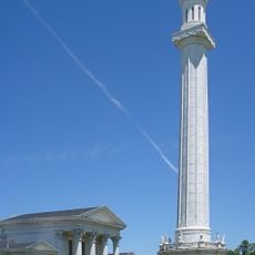
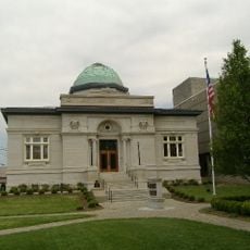
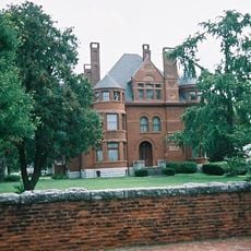
Jeffersonville, River city in Clark County, Indiana, United States.

Description

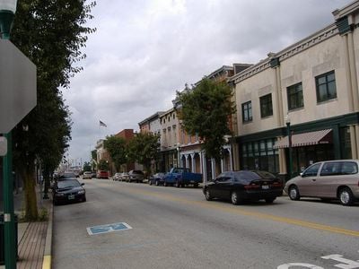
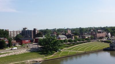
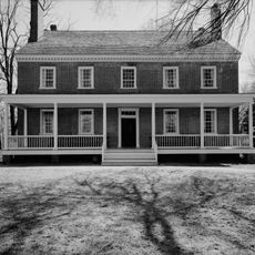
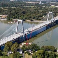
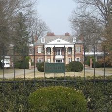
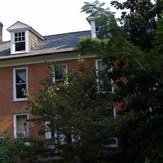
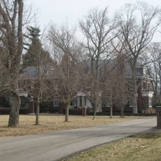
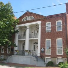
Jeffersonville is a river city in Clark County, Indiana, that stretches along the Ohio River for several miles and connects to Louisville through multiple bridges. The city includes a working port, residential neighborhoods with varying architectural styles, and commercial districts that extend from the waterfront to the rolling hills of the hinterland.

History

Fort Finney was established in 1786 as a military outpost and marked the beginning of permanent settlement in the area. The city took its name from President Thomas Jefferson and grew as a trading hub due to its position on the river that linked regional commerce.

Culture

The Abbey Road on the River festival brings Beatles fans together each year in a celebration that fills riverside venues with live tribute performances. Local businesses and restaurants participate actively during the multi-day event, creating a welcoming environment for visitors who gather to share their appreciation of the music.

Practical

Bridge connections to Louisville allow quick crossings of the Ohio River on foot, by bicycle, or by car within minutes. Parking is available both along the waterfront and in downtown areas, where shops and restaurants are within walking distance of one another.

Did you know?

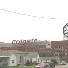
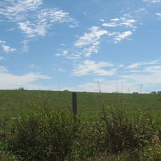
The River Ridge Commerce Center occupies the site of a former ammunition plant that produced gunpowder during World War II. Today companies use the expansive grounds for logistics and manufacturing, while some historic building structures remain visible throughout the area.

Location
Elevation above the sea
136 m
Shares border with
Sellersburg
GPS coordinates
38.29560,-85.73140
Latest update
December 13, 2025 18:29

AroundUs brings together thousands of curated places, local tips, and hidden gems, enriched daily by 60,000 contributors worldwide. Discover all places nearby (Clark County).

Around this place
Zachary Taylor National Cemetery
United States of America

Zachary Taylor National Cemetery

8 km
Louisville Water Tower
United States of America

Louisville Water Tower

3.1 km
Locust Grove
United States of America

Locust Grove

6.1 km
Lewis and Clark Bridge
United States of America

Lewis and Clark Bridge

9.3 km
Colgate Clock
United States of America

Colgate Clock

3 km
Zachary Taylor House
United States of America

Zachary Taylor House

7.6 km
Lincliff
United States of America

Lincliff

6 km
Derby Dinner Playhouse
United States of America

Derby Dinner Playhouse

2.7 km
United States of America

Six Mile Island State Nature Preserve

5.9 km
Old Jeffersonville Historic District
United States of America

Old Jeffersonville Historic District

2.7 km
Boxhill
United States of America

Boxhill

6.5 km
Prather Site
United States of America

Prather Site

9.7 km
Warder Park
United States of America

Warder Park

2.5 km
United States of America

Louisville WaterWorks Museum

3.1 km
Patriots Peace Memorial
United States of America

Patriots Peace Memorial

4.3 km
Henry French House
United States of America

Henry French House

1.9 km
Midlands
United States of America

Midlands

6.1 km
Grisamore House
United States of America

Grisamore House

2.8 km
Rogers Clark Ballard Memorial School
United States of America

Rogers Clark Ballard Memorial School

7.7 km
Jeffersonville Township Public Library
United States of America

Jeffersonville Township Public Library

2.4 km
United States of America

Clarksville Little Theatre

2.8 km
Howard Steamboat Museum
United States of America

Howard Steamboat Museum

1.7 km
United States of America

Colgate Park

2.9 km
United States of America

Lyric Theater

2.2 km
United States of America

Theatair X

2.1 km
Glenview Historic District
United States of America

Glenview Historic District

7.1 km
United States of America

Veterans Monument

2.1 km
United States of America

"Perpetual Perception" Water Tank Mural

2.5 km
Show the full map
« Jeffersonville - River city in Clark County, Indiana, United States » is provided by Around Us (aroundus.com). Images and texts are derived from Wikimedia project under a Creative Commons license. You are allowed to copy, distribute, and modify copies of this page, under the conditions set by the license, as long as this note is clearly visible.

Discover hidden gems everywhere you go!

From secret cafés to breathtaking viewpoints, skip the crowded tourist spots and find places that match your style. Our app makes it easy with voice search, smart filtering, route optimization, and insider tips from travelers worldwide. Download now for the complete mobile experience.

Around Us App Screenshot

A unique approach to discovering new places

Le Figaro

All the places worth exploring

France Info

A tailor-made excursion in just a few clicks

20 Minutes

Around Us
Travel Guide & Maps
Download

Send to your phone

QR Code
1

Open the camera app on your mobile.

2

Point at the QR code with your camera. A notification will appear.

3

Tap the notification to open the link.