Rush County

Log in to your account

AroundUs is a community-driven map of interesting places, built by curious explorers like you. It grows with every review, story, and photo you share.
Connect to save your favorite spots, contribute locations, and create personalized routes.
Continue with Google
Continue with Apple
Continue with X
Continue with Facebook
Continue with email
By continuing, you accept our Terms and Conditions and our Privacy Policy
Create an account
Add to collection
Map
Suggest a change
Share

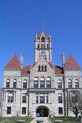
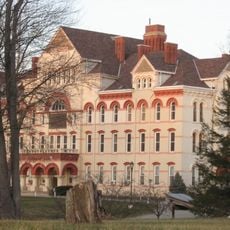
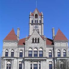
Rush County, Administrative division in Indiana, United States.

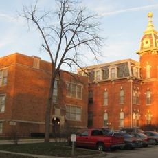
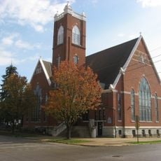
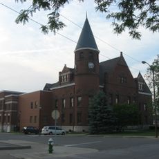
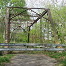
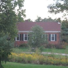
Rush County is a county located in central Indiana, approximately 50 km southeast of Indianapolis. Rolling hills and agricultural fields characterize the landscape, with the Big Blue River running through the northern section and the Little Blue River flowing across the central area.

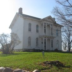
The county was founded in 1821 and named after Dr. Benjamin Rush, a signer of the Declaration of Independence from Philadelphia. Its early growth was tied to agricultural settlement and land use in the region.

The Rush County Community Foundation manages more than 150 permanent funds created by local donors to support regional development and education.

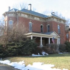
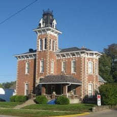
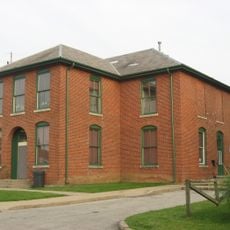
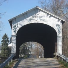
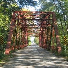
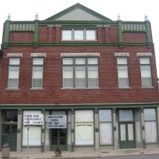
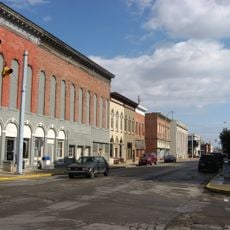
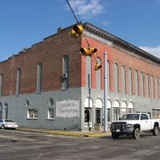
The area consists of small towns and rural communities connected by local roads. Visitors should prepare for rural conditions and plan to use a car to explore the region.

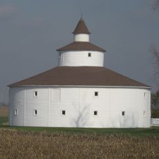
In the late 1800s, the region became a major center for maple syrup production thanks to the abundance of sugar maple trees. This tradition reflects how early settlers made use of the land's natural resources.

Location: Indiana

Inception: December 31, 1821

Capital city: Rushville

Shares border with: Henry County, Fayette County, Franklin County, Decatur County, Shelby County, Hancock County

Website: http://rushcounty.in.gov

GPS coordinates: 39.62000,-85.47000

Latest update: December 7, 2025 20:45

Photos
Around this place
Indiana Soldiers' and Sailors' Children's Home
United States of America

Indiana Soldiers' and Sailors' Children's Home

16.8 km
Elmhurst
United States of America

Elmhurst

27.8 km
Moscow Covered Bridge
United States of America

Moscow Covered Bridge

16.7 km
Knightstown Academy
United States of America

Knightstown Academy

20.6 km
Wendell Lewis Willkie House
United States of America

Wendell Lewis Willkie House

2 km
Elias Hinshaw House
United States of America

Elias Hinshaw House

20.1 km
Strauther Pleak Round Barn
United States of America

Strauther Pleak Round Barn

27.5 km
Rush County Courthouse
United States of America

Rush County Courthouse

2.6 km
Booker T. Washington School
United States of America

Booker T. Washington School

2.9 km
Offutt Covered Bridge
United States of America

Offutt Covered Bridge

7.4 km
County Line Bridge
United States of America

County Line Bridge

17.2 km
Guyer Opera House
United States of America

Guyer Opera House

23.1 km
Forsythe Covered Bridge
United States of America

Forsythe Covered Bridge

12.6 km
Norris Ford Covered Bridge
United States of America

Norris Ford Covered Bridge

6.5 km
Smith Covered Bridge
United States of America

Smith Covered Bridge

4.8 km
Knightstown Historic District
United States of America

Knightstown Historic District

19.7 km
St. Paul Methodist Episcopal Church
United States of America

St. Paul Methodist Episcopal Church

2.5 km
Fayette County Courthouse
United States of America

Fayette County Courthouse

28.3 km
Rushville Commercial Historic District
United States of America

Rushville Commercial Historic District

2.5 km
Archibald M. Kennedy House
United States of America

Archibald M. Kennedy House

6.3 km
Rush County Bridge No. 188
United States of America

Rush County Bridge No. 188

13.1 km
Hall-Crull Octagonal House
United States of America

Hall-Crull Octagonal House

15.6 km
Melodeon Hall
United States of America

Melodeon Hall

2.4 km
John K. Gowdy House
United States of America

John K. Gowdy House

2.4 km
Liberty Township Schoolhouse No. 2
United States of America

Liberty Township Schoolhouse No. 2

21.8 km
James F. Harcourt House
United States of America

James F. Harcourt House

14 km
William Lowry House
United States of America

William Lowry House

27.2 km
Hoosier Gym
United States of America

Hoosier Gym

20.6 km
Show the full map
Reviews

Visited this place? Tap the stars to rate it and share your experience / photos with the community! Try now! You can cancel it anytime.

Administrative divisions
« Rush County - Administrative division in Indiana, United States » is provided by Around Us (aroundus.com). Images and texts are derived from Wikimedia project under a Creative Commons license. You are allowed to copy, distribute, and modify copies of this page, under the conditions set by the license, as long as this note is clearly visible.

Discover hidden gems everywhere you go!

From secret cafés to breathtaking viewpoints, skip the crowded tourist spots and find places that match your style. Our app makes it easy with voice search, smart filtering, route optimization, and insider tips from travelers worldwide. Download now for the complete mobile experience.

Around Us App Screenshot

A unique approach to discovering new places

Le Figaro

All the places worth exploring

France Info

A tailor-made excursion in just a few clicks

20 Minutes