Rushville, city in Indiana, United States
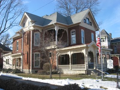
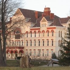
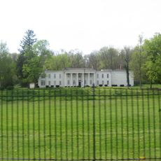
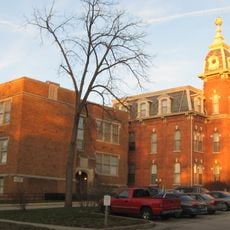
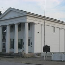
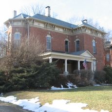
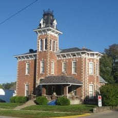
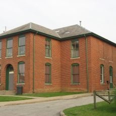
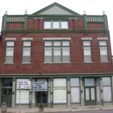
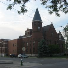
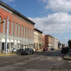
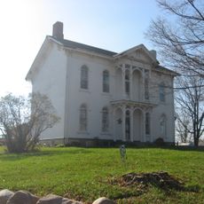
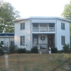
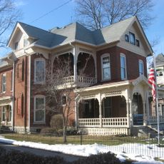
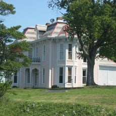
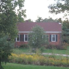
Rushville is a small city in Indiana located in Rush County and surrounded by farmland and open spaces. Its streets are lined with historic buildings dating back nearly 200 years, and the town features shops, parks, and homes that reflect its long heritage.
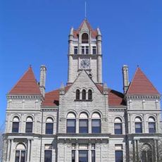
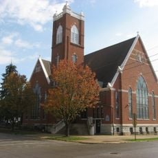
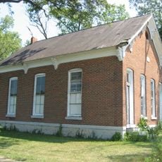
The city was founded nearly 200 years ago and has preserved its historic structures and landmarks. The Ben Davis Creek Church, established in 1829, represents the area's earliest gathering place and serves as a reminder of the community's founding generations.
Rushville takes pride in its Lions symbol, which appears throughout the town on buildings and homes. The two large Lion statues from the 1920s stand near the gymnasium and serve as a gathering spot for residents and visitors.
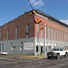
The town is easy to walk through, with historic sites, parks, and shops located within reach. A Visitors Center helps newcomers learn about the area's history and points of interest throughout the region.
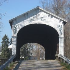
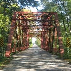
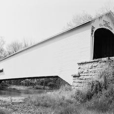
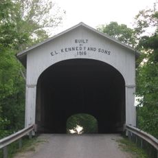
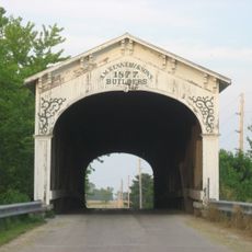
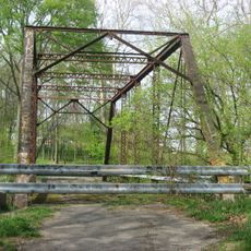
The area is home to a remarkable collection of historic wooden and stone bridges that showcase the craftsmanship of earlier times. Walking across these structures offers visitors a tangible connection to the region's past and how infrastructure was engineered centuries ago.
The community of curious travelers
AroundUs brings together thousands of curated places, local tips, and hidden gems, enriched daily by 60,000 contributors worldwide.