Fayette County, County seat in southeastern Indiana, United States
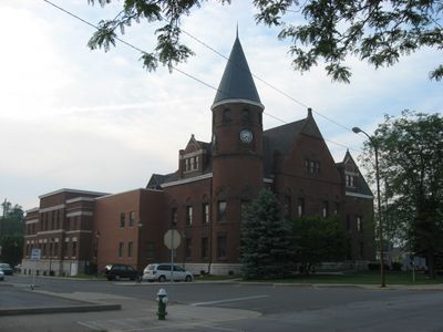
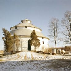
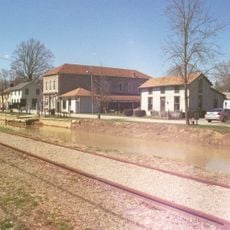
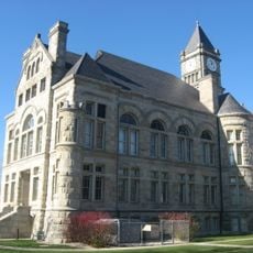
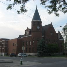
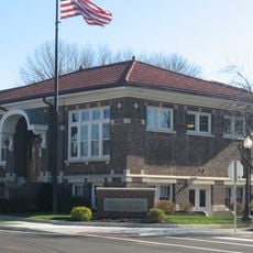
Fayette County in Indiana extends across rolling terrain marked by rivers that create water corridors and natural passages for wildlife. Connersville serves as the administrative seat, housing government offices, courts, and public services for the county's residents.
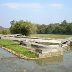
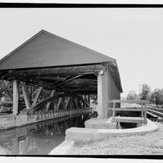
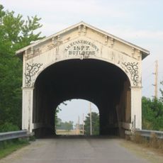
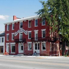
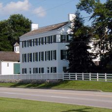
The territory was established in 1818 and experienced substantial growth after the Whitewater Canal was completed in 1847, improving commerce and transport. This waterway marked a turning point in the region's economic development.
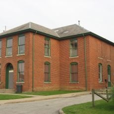
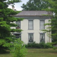
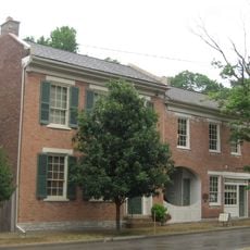
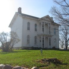
The Fayette County Historical Museum displays artifacts and documents from the region's past, including items from Native American settlements and early European pioneers. These collections reflect the diverse roots that have shaped the county's identity.
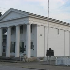
When exploring the county, it helps to start in Connersville where most services are located and administrative facilities can be visited. From there, visitors can easily reach the rural areas and natural sites along the waterways.
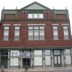
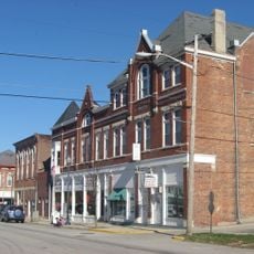
During World War II, Connersville was an important manufacturing center for military vehicle bodies and contributed significantly to the defense industry. This industrial role shaped the town and leaves traces in its history and built landscape today.
Location: Indiana
Inception: December 28, 1818
Capital city: Connersville
Shares border with: Henry County, Wayne County, Union County, Franklin County, Rush County
Website: https://connersvillecommunity.com/fayette-county
GPS coordinates: 39.64000,-85.18000
Latest update: December 7, 2025 20:45
Whitewater Canal
21.7 km
Whitewater Memorial State Park
18.6 km
Elmhurst
3.1 km
Duck Creek Aqueduct
22 km
Thomas Ranck Round Barn
14.2 km
Canal House
3.5 km
Booker T. Washington School
22.2 km
Guyer Opera House
23.8 km
Norris Ford Covered Bridge
19.7 km
Metamora Historic District
21.9 km
Smith Covered Bridge
20.3 km
Union County Courthouse
21.4 km
Oliver P. Morton House
25 km
Fayette County Courthouse
3.4 km
Centerville Historic District
25.2 km
Longwood Covered Bridge
5.8 km
Liberty Courthouse Square Historic District
21.4 km
Archibald M. Kennedy House
18.9 km
Hall-Crull Octagonal House
21.1 km
Cambridge City Historic District
19.1 km
Beechwood
12.9 km
Conklin-Montgomery House
19.2 km
John K. Gowdy House
22.8 km
Liberty Residential Historic District
21.7 km
Lackey-Overbeck House
19.2 km
Witt-Champe-Myers House
19.1 km
William Lowry House
10.1 km
Huddleston Farmhouse
19.2 kmVisited this place? Tap the stars to rate it and share your experience / photos with the community! Try now! You can cancel it anytime.
Discover hidden gems everywhere you go!
From secret cafés to breathtaking viewpoints, skip the crowded tourist spots and find places that match your style. Our app makes it easy with voice search, smart filtering, route optimization, and insider tips from travelers worldwide. Download now for the complete mobile experience.
A unique approach to discovering new places❞
— Le Figaro
All the places worth exploring❞
— France Info
A tailor-made excursion in just a few clicks❞
— 20 Minutes