Connersville

Log in to your account

AroundUs is a community-driven map of interesting places, built by curious explorers like you. It grows with every review, story, and photo you share.
Connect to save your favorite spots, contribute locations, and create personalized routes.
Continue with Google
Continue with Apple
Continue with X
Continue with Facebook
Continue with email
By continuing, you accept our Terms and Conditions and our Privacy Policy
Create an account
Add to collection
Map
Suggest a change
Share

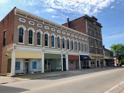
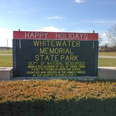
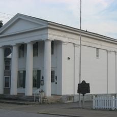
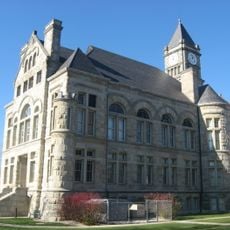
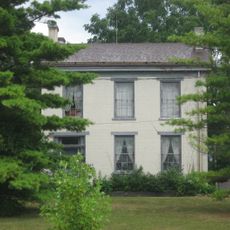
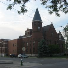
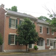
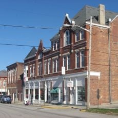
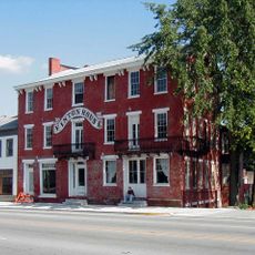
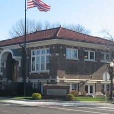
Connersville, County seat in east central Indiana, United States.

Connersville is a city in east central Indiana situated near the Whitewater River with distinct residential and commercial zones. The city covers several square miles and sits at approximately 250 meters elevation throughout its main districts.

John Conner founded the settlement in 1813 alongside a fur trading post as part of Indiana's early growth. The city became an important center during the state's territorial expansion in the early 1800s.

Residents gather for annual celebrations at Roberts Park, where the Fayette County Free Fair showcases local music traditions and community heritage. These events reflect how the city values gathering together to honor its past and creative expressions.

Three major highways connect the city to nearby Indianapolis, Cincinnati, and Dayton for easy travel to other regions. An Amtrak station provides rail access for visitors arriving by train.

The city manufactured more than 500,000 jeep bodies during World War II, earning the nickname Little Detroit for its wartime production. This industrial output made it a significant contributor to American military manufacturing during the global conflict.

Location: Fayette County

Inception: 1813

Elevation above the sea: 251 m

Website: http://connersvillein.gov

GPS coordinates: 39.65389,-85.13778

Latest update: December 20, 2025 13:38

Photos
Around this place
Whitewater Memorial State Park
United States of America

Whitewater Memorial State Park

15.4 km
Elmhurst
United States of America

Elmhurst

2.6 km
Thomas Ranck Round Barn
United States of America

Thomas Ranck Round Barn

10.4 km
Canal House
United States of America

Canal House

1.6 km
Dr. John Arnold Farm
United States of America

Dr. John Arnold Farm

19 km
Norris Ford Covered Bridge
United States of America

Norris Ford Covered Bridge

23.3 km
Union County Courthouse
United States of America

Union County Courthouse

17.9 km
Oliver P. Morton House
United States of America

Oliver P. Morton House

21.6 km
Fayette County Courthouse
United States of America

Fayette County Courthouse

1.5 km
Centerville Historic District
United States of America

Centerville Historic District

21.8 km
Longwood Covered Bridge
United States of America

Longwood Covered Bridge

2.1 km
Liberty Courthouse Square Historic District
United States of America

Liberty Courthouse Square Historic District

17.9 km
Archibald M. Kennedy House
United States of America

Archibald M. Kennedy House

22.6 km
Hall-Crull Octagonal House
United States of America

Hall-Crull Octagonal House

23.5 km
Cambridge City Historic District
United States of America

Cambridge City Historic District

17.8 km
Doddridge Chapel and Cemetery
United States of America

Doddridge Chapel and Cemetery

12.9 km
Beechwood
United States of America

Beechwood

11.2 km
Conklin-Montgomery House
United States of America

Conklin-Montgomery House

17.8 km
Lewis Jones House
United States of America

Lewis Jones House

24.1 km
Liberty Residential Historic District
United States of America

Liberty Residential Historic District

18.1 km
Lackey-Overbeck House
United States of America

Lackey-Overbeck House

17.7 km
Witt-Champe-Myers House
United States of America

Witt-Champe-Myers House

18.3 km
William Lowry House
United States of America

William Lowry House

9.5 km
Huddleston Farmhouse
United States of America

Huddleston Farmhouse

18.1 km
United States of America

Vaudette Theatre

1.3 km
United States of America

Brookville Lake State Park

15.5 km
United States of America

Caboose

22.1 km
United States of America

Cannon

17.9 km
Show the full map
Reviews

Visited this place? Tap the stars to rate it and share your experience / photos with the community! Try now! You can cancel it anytime.

« Connersville - County seat in east central Indiana, United States » is provided by Around Us (aroundus.com). Images and texts are derived from Wikimedia project under a Creative Commons license. You are allowed to copy, distribute, and modify copies of this page, under the conditions set by the license, as long as this note is clearly visible.

Discover hidden gems everywhere you go!

From secret cafés to breathtaking viewpoints, skip the crowded tourist spots and find places that match your style. Our app makes it easy with voice search, smart filtering, route optimization, and insider tips from travelers worldwide. Download now for the complete mobile experience.

Around Us App Screenshot

A unique approach to discovering new places

Le Figaro

All the places worth exploring

France Info

A tailor-made excursion in just a few clicks

20 Minutes