Enable Location

We need your location to show you interesting places around you

Discover nearby places

Find interesting locations and hidden gems around you

Precise directions

Get accurate directions and distances to places

Your location is never shared with other users. It's only used when you tap the location button.

Shelby County

Log in to your account

Start exploring — it's free

Trusted by 62,119 travelers worldwide

Continue with Google
Continue with Apple
or

We will send you a code to connect

By continuing, you accept our Terms and Conditions and our Privacy Policy

Check your inbox

We've sent a pincode in your inbox. Please enter the code below.

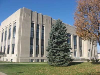
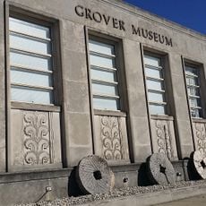
Shelby County, Administrative county in Indiana, United States.

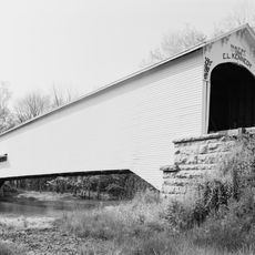
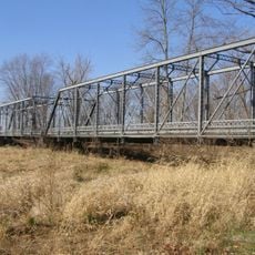
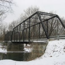
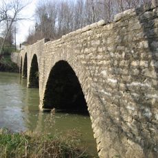
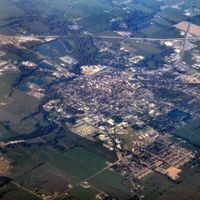
Shelby County is an administrative division in Indiana consisting of rolling terrain devoted mainly to farming. Two rivers, Sugar Creek and Big Blue River, flow through the landscape and shape its character.

The county was established in 1821 and named after Isaac Shelby, the first governor of Kentucky and a military leader. This choice reflected the era's practice of honoring prominent figures from early American history.

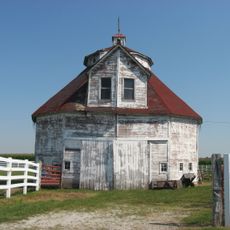
The fourteen townships of Shelby County maintain their distinct identities through local festivals, community gatherings, and agricultural traditions.

Interstate highways 65 and 74 run directly through the county and connect it to major metropolitan areas like Indianapolis and Cincinnati. These major roads make travel through and beyond the county straightforward.

The county maintains zero square miles of natural lakes or reservoirs, making it one of few Indiana counties without registered water surface area.

The community of curious travelers

AroundUs brings together thousands of curated places, local tips, and hidden gems, enriched daily by 60,000 contributors worldwide.

Start exploring
Location
Inception
1821
Capital city
Shelbyville
Shares border with
Hancock County, Rush County, Decatur County, Bartholomew County, Marion County, Johnson County
GPS coordinates
39.52000,-85.79000
Latest update
December 7, 2025 20:23
Around this place
Artcraft Theatre
United States of America

Artcraft Theatre

23.2 km
Johnson County Museum of History
United States of America

Johnson County Museum of History

23.1 km
Moscow Covered Bridge
United States of America

Moscow Covered Bridge

20.6 km
Johnson County Courthouse Square
United States of America

Johnson County Courthouse Square

23.2 km
Porter Pool Bathhouse
United States of America

Porter Pool Bathhouse

1.8 km
Grover Museum
United States of America

Grover Museum

1 km
John Hamilton House
United States of America

John Hamilton House

991 m
Forsythe Covered Bridge
United States of America

Forsythe Covered Bridge

22.3 km
Lora B. Pearson School
United States of America

Lora B. Pearson School

1 km
Franklin Senior High School
United States of America

Franklin Senior High School

22.6 km
Shelby County Courthouse
United States of America

Shelby County Courthouse

1.1 km
Franklin Commercial Historic District
United States of America

Franklin Commercial Historic District

23.2 km
Old Main
United States of America

Old Main

22.6 km
Franklin College Library
United States of America

Franklin College Library

22.6 km
August Zeppenfeld House
United States of America

August Zeppenfeld House

23.5 km
South Walnut Street Historic District
United States of America

South Walnut Street Historic District

24.1 km
Pugh Ford Bridge
United States of America

Pugh Ford Bridge

21.7 km
Furnas Mill Bridge
United States of America

Furnas Mill Bridge

23.6 km
Shelbyville Commercial Historic District
United States of America

Shelbyville Commercial Historic District

1.3 km
West Side Historic District
United States of America

West Side Historic District

926 m
Toner Historic District
United States of America

Toner Historic District

23.5 km
Herriott House
United States of America

Herriott House

23.2 km
Liberty Township Schoolhouse No. 2
United States of America

Liberty Township Schoolhouse No. 2

10.8 km
Champ's Ford Bridge
United States of America

Champ's Ford Bridge

24.4 km
Martin Place Historic District
United States of America

Martin Place Historic District

23 km
George Rudicel Polygonal Barn
United States of America

George Rudicel Polygonal Barn

13 km
Cooper-Alley House
United States of America

Cooper-Alley House

14.9 km
James F. Harcourt House
United States of America

James F. Harcourt House

22 km
Show the full map
Administrative divisions
« Shelby County - Administrative county in Indiana, United States » is provided by Around Us (aroundus.com). Images and texts are derived from Wikimedia project under a Creative Commons license. You are allowed to copy, distribute, and modify copies of this page, under the conditions set by the license, as long as this note is clearly visible.

Discover hidden gems everywhere you go!

From secret cafés to breathtaking viewpoints, skip the crowded tourist spots and find places that match your style. Our app makes it easy with voice search, smart filtering, route optimization, and insider tips from travelers worldwide. Download now for the complete mobile experience.

Around Us App Screenshot

A unique approach to discovering new places

Le Figaro

All the places worth exploring

France Info

A tailor-made excursion in just a few clicks

20 Minutes

Around Us
Travel Guide & Maps
Download

Send to your phone

QR Code
1

Open the camera app on your mobile.

2

Point at the QR code with your camera. A notification will appear.

3

Tap the notification to open the link.