·

Enable Location

We need your location to show you interesting places around you

Discover nearby places

Find interesting locations and hidden gems around you

Precise directions

Get accurate directions and distances to places

Your location is never shared with other users. It's only used when you tap the location button.

Delaware County

Log in to your account

Start exploring — it's free

Trusted by 62,690 travelers worldwide

Continue with Google
Continue with Apple
or

We will send you a code to connect

By continuing, you accept our Terms and Conditions and our Privacy Policy

Check your inbox

We've sent a pincode in your inbox. Please enter the code below.

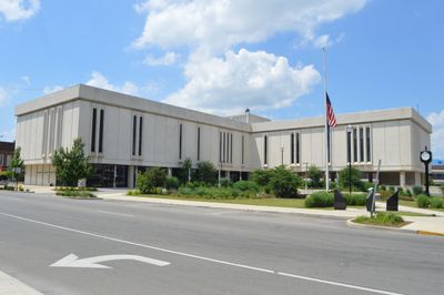
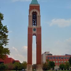
Delaware County, Administrative county seat in east central Indiana, United States.

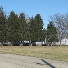
Delaware County is an administrative division in east central Indiana characterized by gently rolling terrain. The White River and Mississinewa River flow through the landscape, shaping its natural geography.

The county was established in 1827 and named after the Delaware Native Americans who lived along the White River drainage basin. These origins shape the region's identity today.

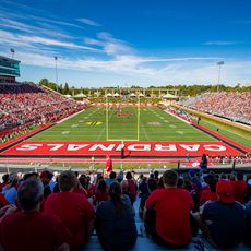
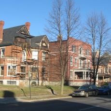
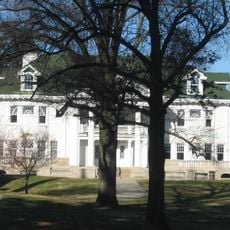
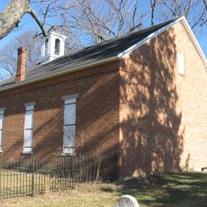
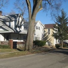
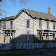
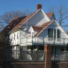
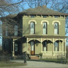
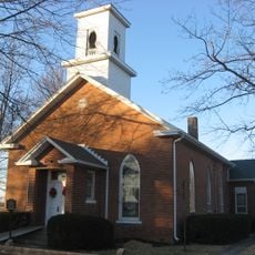
The area reflects waves of settlement from the East, with communities maintaining local traditions expressed through festivals and regional celebrations that draw families together throughout the year.

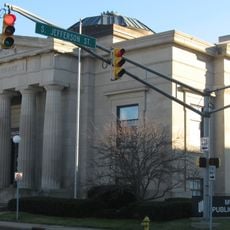
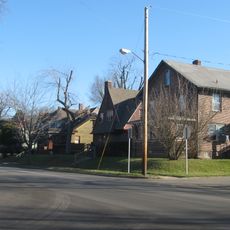
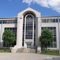
Government offices are typically open during business hours and the county website provides information about various services. The main urban centers are accessible and easy to navigate by local roads.

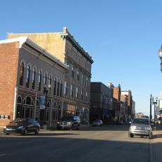
Natural gas was discovered near Eaton in 1876, marking Indiana's first documented gas find. This discovery sparked industrial growth that brought factories and workers to the region.

The community of curious travelers

AroundUs brings together thousands of curated places, local tips, and hidden gems, enriched daily by 60,000 contributors worldwide.

Start exploring
Location
Inception
1827
Capital city
Muncie
Shares border with
Blackford County, Jay County, Randolph County, Henry County, Grant County, Madison County
GPS coordinates
40.23000,-85.40000
Latest update
December 7, 2025 19:22
Around this place
Scheumann Stadium
United States of America

Scheumann Stadium

2.1 km
Beneficence
United States of America

Beneficence

3.6 km
Minnetrista
United States of America

Minnetrista

2.8 km
Shafer Tower
United States of America

Shafer Tower

3 km
David Owsley Museum of Art Ball State University
United States of America

David Owsley Museum of Art Ball State University

3.5 km
Carnegie Library
United States of America

Carnegie Library

4.4 km
Christy Woods
United States of America

Christy Woods

3.6 km
Emily Kimbrough Historic District
United States of America

Emily Kimbrough Historic District

4.5 km
Alva Kitselman House
United States of America

Alva Kitselman House

3.5 km
Mount Zion Methodist Episcopal Church
United States of America

Mount Zion Methodist Episcopal Church

13.2 km
West Washington Street Bridge
United States of America

West Washington Street Bridge

4 km
Eli Hoover House and Confectionary
United States of America

Eli Hoover House and Confectionary

4.1 km
Wheeler Orchid Collection and Species Bank
United States of America

Wheeler Orchid Collection and Species Bank

3.6 km
Wilson Junior High School
United States of America

Wilson Junior High School

6 km
Minnetrista Boulevard Historic District
United States of America

Minnetrista Boulevard Historic District

3 km
Margaret and George Riley Jones House
United States of America

Margaret and George Riley Jones House

4.6 km
Martin Hofherr Farm
United States of America

Martin Hofherr Farm

10 km
Old West End Historic District
United States of America

Old West End Historic District

4.3 km
Walnut Street Historic District
United States of America

Walnut Street Historic District

4.4 km
YWCA Building
United States of America

YWCA Building

4.5 km
Moore-Youse-Maxon House
United States of America

Moore-Youse-Maxon House

4.1 km
Felt's Farm
United States of America

Felt's Farm

12.5 km
Kirby Historic District
United States of America

Kirby Historic District

4.9 km
Otto Carmichael House
United States of America

Otto Carmichael House

4.3 km
Westwood Historic District
United States of America

Westwood Historic District

3.2 km
Grace Keiser Maring Library
United States of America

Grace Keiser Maring Library

5.9 km
William Henry Luick Farmhouse
United States of America

William Henry Luick Farmhouse

7.7 km
Richwood Evangelical Lutheran Church
United States of America

Richwood Evangelical Lutheran Church

17.5 km
Show the full map
Administrative divisions
« Delaware County - Administrative county seat in east central Indiana, United States » is provided by Around Us (aroundus.com). Images and texts are derived from Wikimedia project under a Creative Commons license. You are allowed to copy, distribute, and modify copies of this page, under the conditions set by the license, as long as this note is clearly visible.

Discover hidden gems everywhere you go!

From secret cafés to breathtaking viewpoints, skip the crowded tourist spots and find places that match your style. Our app makes it easy with voice search, smart filtering, route optimization, and insider tips from travelers worldwide. Download now for the complete mobile experience.

Around Us App Screenshot

A unique approach to discovering new places

Le Figaro

All the places worth exploring

France Info

A tailor-made excursion in just a few clicks

20 Minutes

Around Us
Travel Guide & Maps
Download

Send to your phone

QR Code
1

Open the camera app on your mobile.

2

Point at the QR code with your camera. A notification will appear.

3

Tap the notification to open the link.