·

Enable Location

We need your location to show you interesting places around you

Discover nearby places

Find interesting locations and hidden gems around you

Precise directions

Get accurate directions and distances to places

Your location is never shared with other users. It's only used when you tap the location button.

Decatur County

Log in to your account

Start exploring — it's free

Trusted by 62,678 travelers worldwide

Continue with Google
Continue with Apple
or

We will send you a code to connect

By continuing, you accept our Terms and Conditions and our Privacy Policy

Check your inbox

We've sent a pincode in your inbox. Please enter the code below.

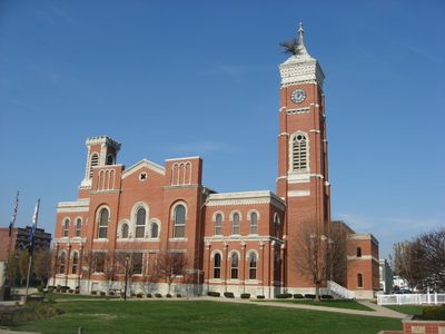
Decatur County, Administrative division in Indiana, United States.

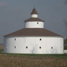
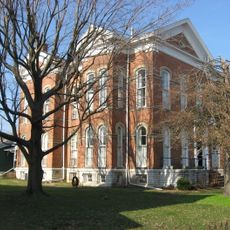
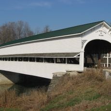
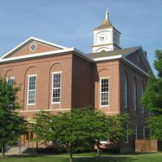
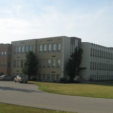
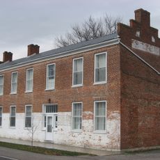
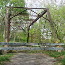
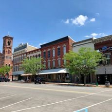
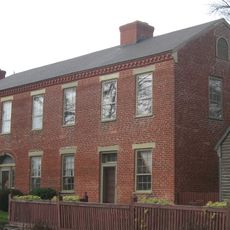
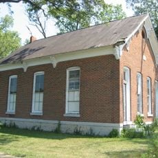
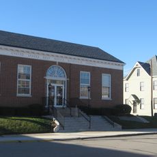
Decatur County is an administrative division in Indiana that encompasses agricultural land, small towns, and residential communities spread across the region. The area includes multiple municipalities and unincorporated townships that form the county's basic structure.

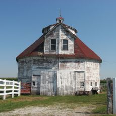
The county was established in 1823 and received its name from United States naval officer Stephen Decatur. Since its formation, the area has developed as a rural administrative region with agricultural foundations.

Local festivals throughout Decatur County showcase agricultural traditions with events centered around cotton, corn, and peanut harvesting seasons.

Visitors can access information about the county's administrative services through official channels. The best time to explore is during milder months when rural areas are easily accessible.

The county has installed solar panel systems as part of its sustainability initiatives. These installations reflect local efforts to use renewable energy sources across the rural area.

The community of curious travelers

AroundUs brings together thousands of curated places, local tips, and hidden gems, enriched daily by 60,000 contributors worldwide.

Start exploring
GPS coordinates
39.28621,-85.49431
Latest update
December 7, 2025 20:45
Around this place
Muscatatuck Urban Training Center
United States of America

Muscatatuck Urban Training Center

26.4 km
Decatur County Courthouse
United States of America

Decatur County Courthouse

5.7 km
Moscow Covered Bridge
United States of America

Moscow Covered Bridge

22.7 km
Straber Ford Bridge
United States of America

Straber Ford Bridge

19.1 km
Tyson United Methodist Church
United States of America

Tyson United Methodist Church

31.6 km
Knights of Pythias Building and Theatre
United States of America

Knights of Pythias Building and Theatre

5.8 km
Strauther Pleak Round Barn
United States of America

Strauther Pleak Round Barn

9.8 km
Bright B. Harris House
United States of America

Bright B. Harris House

6.1 km
Westport Covered Bridge
United States of America

Westport Covered Bridge

14 km
Ripley County Courthouse
United States of America

Ripley County Courthouse

31.7 km
Versailles School and Tyson Auditorium
United States of America

Versailles School and Tyson Auditorium

31.6 km
Forsythe Covered Bridge
United States of America

Forsythe Covered Bridge

25.9 km
Jerman School
United States of America

Jerman School

6.3 km
Stockheughter Covered Bridge
United States of America

Stockheughter Covered Bridge

19.1 km
Oldenburg Historic District
United States of America

Oldenburg Historic District

25.9 km
Greensburg Carnegie Public Library
United States of America

Greensburg Carnegie Public Library

6 km
Central House
United States of America

Central House

16.9 km
Rush County Bridge No. 188
United States of America

Rush County Bridge No. 188

24.2 km
Greensburg Downtown Historic District
United States of America

Greensburg Downtown Historic District

5.8 km
Elias Conwell House
United States of America

Elias Conwell House

16.7 km
Liberty Township Schoolhouse No. 2
United States of America

Liberty Township Schoolhouse No. 2

27.8 km
Central Batesville Historic District
United States of America

Central Batesville Historic District

23.5 km
Champ's Ford Bridge
United States of America

Champ's Ford Bridge

16 km
George Rudicel Polygonal Barn
United States of America

George Rudicel Polygonal Barn

23.7 km
Cooper-Alley House
United States of America

Cooper-Alley House

21.5 km
James F. Harcourt House
United States of America

James F. Harcourt House

24.5 km
Fernando G. Taylor House
United States of America

Fernando G. Taylor House

31.8 km
United States of America

Bischoff Reservoir

25.8 km
Show the full map
« Decatur County - Administrative division in Indiana, United States » is provided by Around Us (aroundus.com). Images and texts are derived from Wikimedia project under a Creative Commons license. You are allowed to copy, distribute, and modify copies of this page, under the conditions set by the license, as long as this note is clearly visible.

Discover hidden gems everywhere you go!

From secret cafés to breathtaking viewpoints, skip the crowded tourist spots and find places that match your style. Our app makes it easy with voice search, smart filtering, route optimization, and insider tips from travelers worldwide. Download now for the complete mobile experience.

Around Us App Screenshot

A unique approach to discovering new places

Le Figaro

All the places worth exploring

France Info

A tailor-made excursion in just a few clicks

20 Minutes

Around Us
Travel Guide & Maps
Download

Send to your phone

QR Code
1

Open the camera app on your mobile.

2

Point at the QR code with your camera. A notification will appear.

3

Tap the notification to open the link.