Montgomery County, Administrative county in central Indiana, United States.
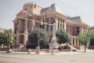
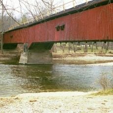
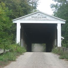
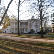
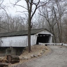
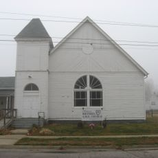
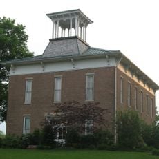
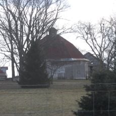
Montgomery County is an administrative division in central Indiana with agricultural land, rolling hills, and Sugar Creek flowing through its central region. The county includes several communities, with Crawfordsville serving as its administrative center and housing the Government Center.
The county was established in 1823 and named after Richard Montgomery, a general who served during the American Revolutionary War. European settlement began in 1821, shortly before the area was officially organized as a county.
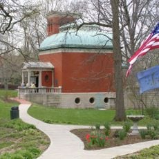
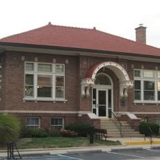
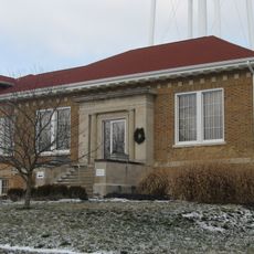
The county is home to several Carnegie libraries, historic buildings from the early 1900s built with grants from industrialist Andrew Carnegie. These structures shape the character of smaller towns and reflect the community's commitment to public education.
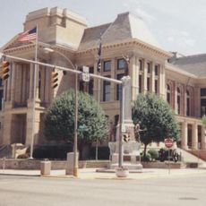
The Government Center in Crawfordsville is where administrative business takes place and where the County Commissioner and Council hold regular meetings. Visitors can find various services there and learn about local affairs.
Native American mound builders created large earthen structures throughout the region before European settlement arrived. These pre-Columbian remains show that the land was inhabited and shaped by indigenous peoples long before the first European settlers came.
The community of curious travelers
AroundUs brings together thousands of curated places, local tips, and hidden gems, enriched daily by 60,000 contributors worldwide.