Enable Location

We need your location to show you interesting places around you

Discover nearby places

Find interesting locations and hidden gems around you

Precise directions

Get accurate directions and distances to places

Your location is never shared with other users. It's only used when you tap the location button.

Jefferson County

Log in to your account

Start exploring — it's free

Trusted by 62,146 travelers worldwide

Continue with Google
Continue with Apple
or

We will send you a code to connect

By continuing, you accept our Terms and Conditions and our Privacy Policy

Check your inbox

We've sent a pincode in your inbox. Please enter the code below.

Jefferson County, Administrative county in southeastern Indiana, United States

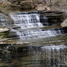
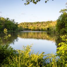
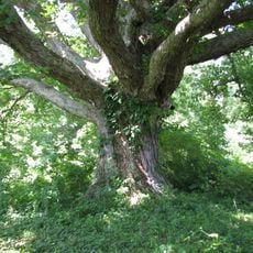
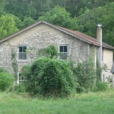
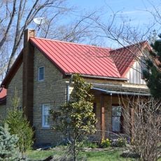
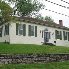
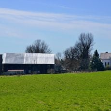
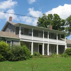
Jefferson County is an administrative division in southeastern Indiana featuring rolling terrain, farmland, and forested areas. The landscape slopes toward the Ohio River and combines rural landscapes with scattered settlements and towns.

The county was established in 1810 and named after President Thomas Jefferson, formed from sections of Clark and Dearborn counties in Indiana Territory. Its creation reflected the early expansion of American settlement across the region.

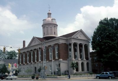
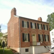
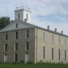
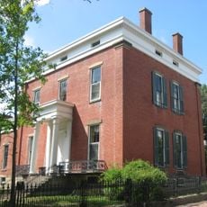
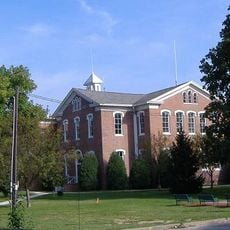
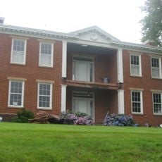
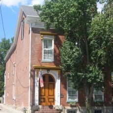
The courthouse in Madison displays early 19th-century architectural styles that blend federal and Greek revival elements. The building shapes the town center and shows how residents have valued their public spaces.

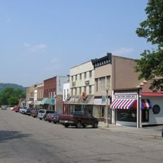
The main towns and communities are reached by state and county roads that run through the terrain. The region is best explored by following these roads, which connect the larger settlements to the more rural areas.

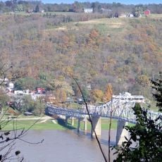
The area has a long connection to river trade on the Ohio, a waterway that has shaped commerce and movement for generations. This history remains visible in how the landscape and settlements relate to the water today.

The community of curious travelers

AroundUs brings together thousands of curated places, local tips, and hidden gems, enriched daily by 60,000 contributors worldwide.

Start exploring
Location
Inception
November 23, 1810
Capital city
Madison
Shares border with
Ripley County, Switzerland County, Carroll County, Trimble County, Clark County, Scott County, Jennings County
GPS coordinates
38.79000,-85.44000
Latest update
December 7, 2025 19:32
Around this place
Clifty Falls State Park
United States of America

Clifty Falls State Park

5.1 km
General Butler State Resort Park
United States of America

General Butler State Resort Park

28.2 km
Big Oaks National Wildlife Refuge
United States of America

Big Oaks National Wildlife Refuge

18.1 km
Lanier Mansion
United States of America

Lanier Mansion

7.6 km
Milton-Madison Bridge
United States of America

Milton-Madison Bridge

9.2 km
United States of America

New Albany Shale

24.7 km
Madison Historic District
United States of America

Madison Historic District

7.6 km
Eleutherian College
United States of America

Eleutherian College

8 km
Charles L. Shrewsbury House
United States of America

Charles L. Shrewsbury House

7.9 km
United States of America

Stream Cliff Farm

18.4 km
Schofield House
United States of America

Schofield House

7.9 km
Lyman and Asenath Hoyt House
United States of America

Lyman and Asenath Hoyt House

8.4 km
Mathias Wolf Farm
United States of America

Mathias Wolf Farm

11.6 km
Gen. William O. Butler House
United States of America

Gen. William O. Butler House

26 km
Scottsburg Courthouse Square Historic District
United States of America

Scottsburg Courthouse Square Historic District

30.9 km
Hunter's Bottom Historic District
United States of America

Hunter's Bottom Historic District

14.9 km
Lemuel Allen Farm
United States of America

Lemuel Allen Farm

11.2 km
Crawford-Whitehead-Ross House
United States of America

Crawford-Whitehead-Ross House

7.6 km
Carrollton Historic District
United States of America

Carrollton Historic District

25.9 km
Crowe-Garritt House
United States of America

Crowe-Garritt House

8.7 km
Coleman House
United States of America

Coleman House

24.5 km
Thomas T. Wright House
United States of America

Thomas T. Wright House

28.8 km
William L. Coleman House
United States of America

William L. Coleman House

29.9 km
Bates House
United States of America

Bates House

18 km
House on KY 1492
United States of America

House on KY 1492

14.9 km
Henry Ogburn House
United States of America

Henry Ogburn House

28.9 km
James Covered Bridge
United States of America

James Covered Bridge

19.1 km
Shepard Bridge
United States of America

Shepard Bridge

17.1 km
Show the full map
Administrative divisions
« Jefferson County - Administrative county in southeastern Indiana, United States » is provided by Around Us (aroundus.com). Images and texts are derived from Wikimedia project under a Creative Commons license. You are allowed to copy, distribute, and modify copies of this page, under the conditions set by the license, as long as this note is clearly visible.

Discover hidden gems everywhere you go!

From secret cafés to breathtaking viewpoints, skip the crowded tourist spots and find places that match your style. Our app makes it easy with voice search, smart filtering, route optimization, and insider tips from travelers worldwide. Download now for the complete mobile experience.

Around Us App Screenshot

A unique approach to discovering new places

Le Figaro

All the places worth exploring

France Info

A tailor-made excursion in just a few clicks

20 Minutes

Around Us
Travel Guide & Maps
Download

Send to your phone

QR Code
1

Open the camera app on your mobile.

2

Point at the QR code with your camera. A notification will appear.

3

Tap the notification to open the link.