Owen County

Log in to your account

AroundUs is a community-driven map of interesting places, built by curious explorers like you. It grows with every review, story, and photo you share.
Connect to save your favorite spots, contribute locations, and create personalized routes.
Continue with Google
Continue with Apple
Continue with X
Continue with Facebook
Continue with email
By continuing, you accept our Terms and Conditions and our Privacy Policy
Create an account
Add to collection
Map
Suggest a change
Share

Owen County, Administrative county in Indiana, US

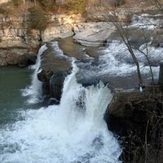
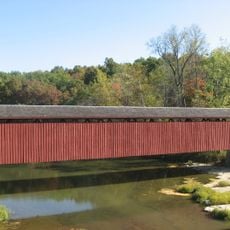
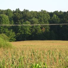
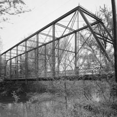
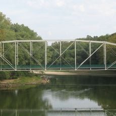
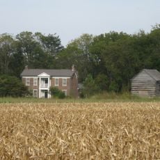
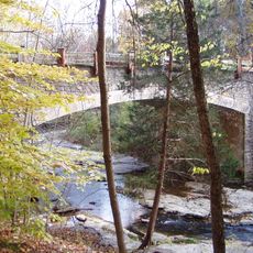
Owen County is an administrative county in Indiana consisting of rolling, forested terrain interspersed with farmland and crossed by the White River. The county contains several small towns and villages, with Spencer functioning as the central seat of government and public services.

The county was established on December 21, 1818, and named after Colonel Abraham Owen, a military officer who died at the Battle of Tippecanoe in 1811. This designation honored his role in the early settlement period of Indiana.

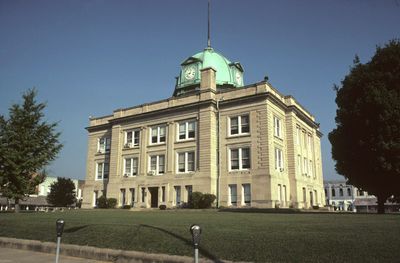
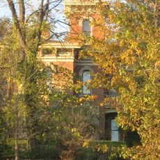
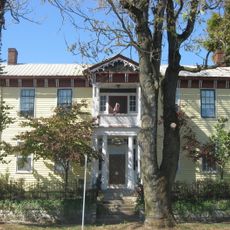
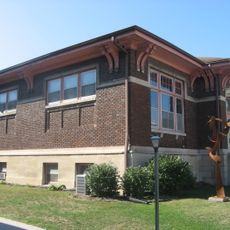
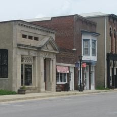
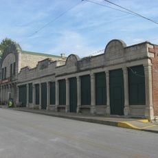
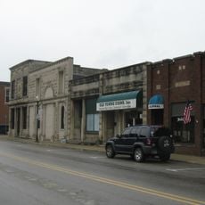
Spencer, the county seat, functions as the social and administrative hub where government buildings and public spaces reflect how residents gather for civic life and community events.

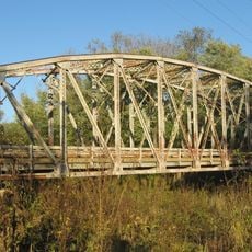
The county is accessible via US Route 231 and Indiana State Roads 42 and 67, which provide connections to neighboring areas. Most amenities and services are concentrated in Spencer, making it a convenient base for exploring the region.

In 1920, the US Census Bureau calculated that the geographic center of the nation's population fell within Owen County's boundaries. This rare statistical occurrence briefly positioned the region as the nation's demographic center.

Location: Indiana

Inception: December 21, 1818

Capital city: Spencer

Shares border with: Putnam County, Morgan County, Monroe County, Greene County, Clay County

Website: https://owencounty.in.gov

GPS coordinates: 39.31000,-86.84000

Latest update: December 7, 2025 20:42

Photos
Around this place
Cataract Falls
United States of America

Cataract Falls

14 km
McCormick's Creek State Park
United States of America

McCormick's Creek State Park

9.8 km
Yellowwood State Forest
United States of America

Yellowwood State Forest

24.5 km
Cataract Falls Covered Bridge
United States of America

Cataract Falls Covered Bridge

13.9 km
Owen County Courthouse
United States of America

Owen County Courthouse

8.2 km
David Enoch Beem House
United States of America

David Enoch Beem House

6.5 km
Ennis Archaeological Site
United States of America

Ennis Archaeological Site

15.6 km
McCormick's Creek State Park Entrance and Gatehouse
United States of America

McCormick's Creek State Park Entrance and Gatehouse

10.2 km
Indiana State Highway Bridge 46-11-1316
United States of America

Indiana State Highway Bridge 46-11-1316

17.6 km
Feeder Dam Bridge
United States of America

Feeder Dam Bridge

23.7 km
Allison-Robinson House
United States of America

Allison-Robinson House

7.1 km
Poland Presbyterian Church and Cemetery
United States of America

Poland Presbyterian Church and Cemetery

17.9 km
Secrest Ferry Bridge
United States of America

Secrest Ferry Bridge

14.3 km
Stone Arch Bridge over McCormick's Creek
United States of America

Stone Arch Bridge over McCormick's Creek

10.8 km
Spencer Public Library
United States of America

Spencer Public Library

7.4 km
Tide Water Pumping Station
United States of America

Tide Water Pumping Station

19.6 km
Secrest-Wampler House
United States of America

Secrest-Wampler House

11.9 km
CCC Recreation Building-Nature Museum
United States of America

CCC Recreation Building-Nature Museum

10 km
Indiana State Highway Bridge 42-11-3101
United States of America

Indiana State Highway Bridge 42-11-3101

20 km
Moffett-Ralston House
United States of America

Moffett-Ralston House

7.4 km
Gosport Historic District
United States of America

Gosport Historic District

15.8 km
Matthews Stone Company Historic District
United States of America

Matthews Stone Company Historic District

20.3 km
Stinesville Commercial Historic District
United States of America

Stinesville Commercial Historic District

16.3 km
Dr. H.G. Osgood House
United States of America

Dr. H.G. Osgood House

15.7 km
Ellettsville Downtown Historic District
United States of America

Ellettsville Downtown Historic District

20.2 km
Big Walnut Creek
United States of America

Big Walnut Creek

22.7 km
McCormick's Creek Bridge
United States of America

McCormick's Creek Bridge

11 km
Cagles Mill Lake
United States of America

Cagles Mill Lake

17.6 km
Show the full map
Reviews

Visited this place? Tap the stars to rate it and share your experience / photos with the community! Try now! You can cancel it anytime.

Administrative divisions
« Owen County - Administrative county in Indiana, US » is provided by Around Us (aroundus.com). Images and texts are derived from Wikimedia project under a Creative Commons license. You are allowed to copy, distribute, and modify copies of this page, under the conditions set by the license, as long as this note is clearly visible.

Discover hidden gems everywhere you go!

From secret cafés to breathtaking viewpoints, skip the crowded tourist spots and find places that match your style. Our app makes it easy with voice search, smart filtering, route optimization, and insider tips from travelers worldwide. Download now for the complete mobile experience.

Around Us App Screenshot

A unique approach to discovering new places

Le Figaro

All the places worth exploring

France Info

A tailor-made excursion in just a few clicks

20 Minutes