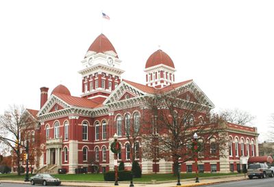
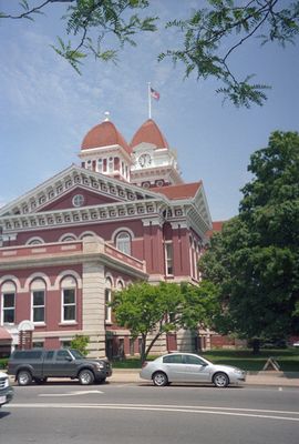
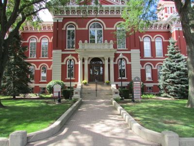
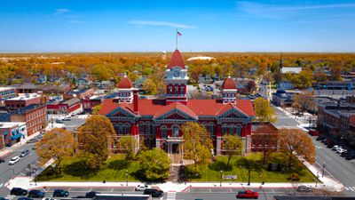
Lake County, County in northwestern Indiana, United States.
Lake County is a county in northwestern Indiana that extends across roughly 1,621 square kilometers (626 square miles) along Lake Michigan, connecting urban areas with industrial zones and natural landscapes. Elevations range from 178 to 244 meters (585 to 801 feet), creating different landforms between coastal lowlands and gentle hills inland.
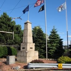
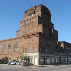
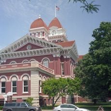
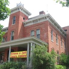
The county was established in 1837 on territory previously inhabited by the Potawatomi and ceded to the United States through treaties. Railroad expansion and the arrival of steel mills in the early 20th century transformed the region into a major industrial center.
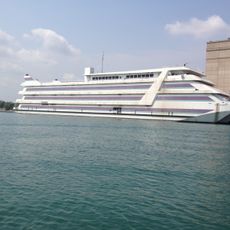
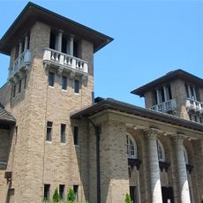
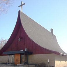
The name comes from the position along Lake Michigan, whose shoreline still offers recreation areas and beaches for residents across the region. Many towns show traces of immigration from Central and Eastern Europe, visible in churches, restaurants, and neighborhood festivals.
Travelers can reach the area via Interstate 65 and Interstate 80/94, which offer direct connections to Chicago and surrounding metropolitan regions. Orientation usually follows major traffic routes running parallel to the shoreline or heading inland.
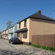
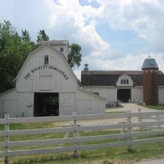
The area remains the second most populous in Indiana, still combining industrial facilities with access to the freshwater of Lake Michigan. Marktown, a small planned worker settlement in East Chicago, still stands as an example of early urban planning for factory workers.
The community of curious travelers
AroundUs brings together thousands of curated places, local tips, and hidden gems, enriched daily by 60,000 contributors worldwide.