Enable Location

We need your location to show you interesting places around you

Discover nearby places

Find interesting locations and hidden gems around you

Precise directions

Get accurate directions and distances to places

Your location is never shared with other users. It's only used when you tap the location button.

Hendricks County

Log in to your account

Start exploring — it's free

Trusted by 62,119 travelers worldwide

Continue with Google
Continue with Apple
or

We will send you a code to connect

By continuing, you accept our Terms and Conditions and our Privacy Policy

Check your inbox

We've sent a pincode in your inbox. Please enter the code below.

Hendricks County, Administrative division in Indiana, United States

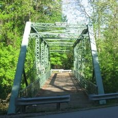
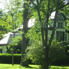
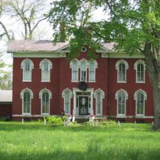
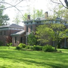
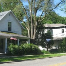
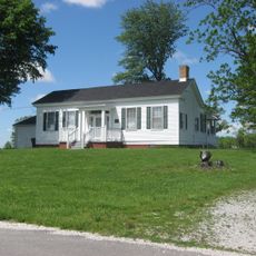
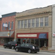
Hendricks County is an administrative division in central Indiana that encompasses twelve townships stretching between Indianapolis and the western part of the state. The region combines urban neighborhoods with farmland and open spaces.

The region was established in 1824 by the state legislature and named after William Hendricks, who was serving as governor at that time. This choice reflected his importance during Indiana's early years.

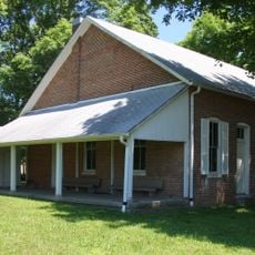
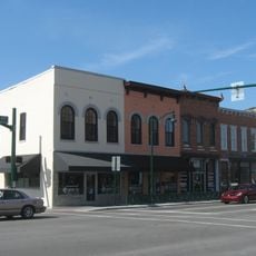
The towns across this county hold their own traditions and ways of gathering throughout the year. You notice these customs in community events where neighbors share their heritage and local pride.

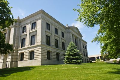
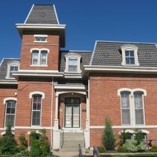
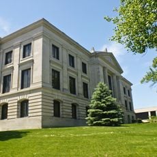
The county administration office in Danville operates during weekday business hours and serves residents with various administrative needs. Planning a visit during morning hours typically means shorter wait times for services.

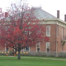
The county commissioners regularly meet in public sessions where citizens can voice concerns about local development projects. These open meetings reflect how decisions affecting the area are made transparently.

The community of curious travelers

AroundUs brings together thousands of curated places, local tips, and hidden gems, enriched daily by 60,000 contributors worldwide.

Start exploring
Location
Inception
1824
Capital city
Danville
Shares border with
Boone County, Marion County, Morgan County, Montgomery County, Putnam County
GPS coordinates
39.77000,-86.51000
Latest update
December 22, 2025 23:14
Around this place
Lucas Oil Indianapolis Raceway Park
United States of America

Lucas Oil Indianapolis Raceway Park

15.2 km
Dr. Jeremiah and Ann Jane DePew House
United States of America

Dr. Jeremiah and Ann Jane DePew House

1.5 km
Splash Pad
United States of America

Splash Pad

13.9 km
Twin Bridges
United States of America

Twin Bridges

1.8 km
Sugar Grove Meetinghouse and Cemetery
United States of America

Sugar Grove Meetinghouse and Cemetery

14.2 km
Hendricks County Historical Museum
United States of America

Hendricks County Historical Museum

1.7 km
United States of America

Holistic Image VIII

1.3 km
Melville F. McHaffie Farm
United States of America

Melville F. McHaffie Farm

20.3 km
Plainfield Historic District
United States of America

Plainfield Historic District

11.8 km
Hendricks County Bridge Number 316
United States of America

Hendricks County Bridge Number 316

12.4 km
Ora Adams House
United States of America

Ora Adams House

1.4 km
Danville Courthouse Square Historic District
United States of America

Danville Courthouse Square Historic District

1.6 km
Leander Campbell House
United States of America

Leander Campbell House

1.4 km
Joel Jessup Farm
United States of America

Joel Jessup Farm

20.4 km
Mooresville Friends Academy Building
United States of America

Mooresville Friends Academy Building

20.5 km
John W. McClain House
United States of America

John W. McClain House

7.3 km
Danville Main Street Historic District
United States of America

Danville Main Street Historic District

1.9 km
Wilson-Courtney House
United States of America

Wilson-Courtney House

2.1 km
Mooresville Gymnasium
United States of America

Mooresville Gymnasium

20.4 km
Smith Farm
United States of America

Smith Farm

13.6 km
McCormack-Bowman House
United States of America

McCormack-Bowman House

14.3 km
Mooresville Commercial Historic District
United States of America

Mooresville Commercial Historic District

21 km
Kellum-Jessup-Chandler Farm
United States of America

Kellum-Jessup-Chandler Farm

18.4 km
Noah and Hannah Hadley Kellum House
United States of America

Noah and Hannah Hadley Kellum House

19.5 km
Splash Island
United States of America

Splash Island

10.8 km
A.A. Parsons Farmstead
United States of America

A.A. Parsons Farmstead

8.6 km
Courthouse Grounds
United States of America

Courthouse Grounds

1.6 km
United States of America

Hendricks Civic Theatre

7.4 km
Show the full map
Administrative divisions
« Hendricks County - Administrative division in Indiana, United States » is provided by Around Us (aroundus.com). Images and texts are derived from Wikimedia project under a Creative Commons license. You are allowed to copy, distribute, and modify copies of this page, under the conditions set by the license, as long as this note is clearly visible.

Discover hidden gems everywhere you go!

From secret cafés to breathtaking viewpoints, skip the crowded tourist spots and find places that match your style. Our app makes it easy with voice search, smart filtering, route optimization, and insider tips from travelers worldwide. Download now for the complete mobile experience.

Around Us App Screenshot

A unique approach to discovering new places

Le Figaro

All the places worth exploring

France Info

A tailor-made excursion in just a few clicks

20 Minutes

Around Us
Travel Guide & Maps
Download

Send to your phone

QR Code
1

Open the camera app on your mobile.

2

Point at the QR code with your camera. A notification will appear.

3

Tap the notification to open the link.