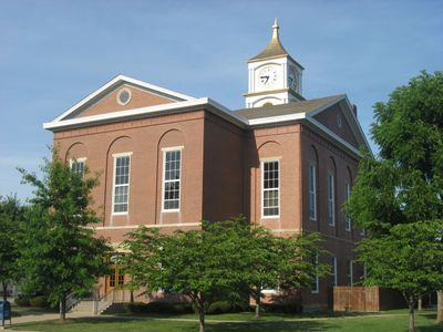
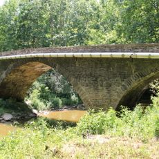
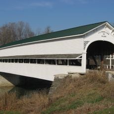
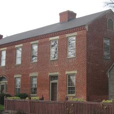
Ripley County, Administrative county in southeastern Indiana, US.
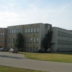
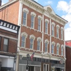
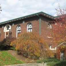
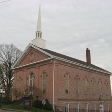
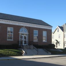
Ripley County is an administrative area in southeastern Indiana with Versailles serving as the county seat. The region includes several incorporated municipalities, including Batesville, which function as local centers.
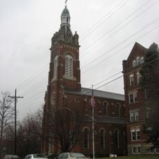
The area was established in 1816 by the Indiana State Legislature and named after General Eleazer Wheelock Ripley from the War of 1812. This formation was part of early Indiana's administrative development.
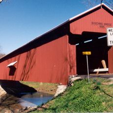
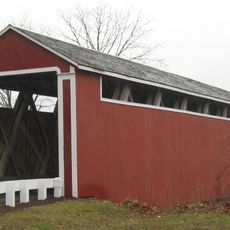
The county maintains eight incorporated municipalities, including Batesville and Versailles, each contributing to the strong local government structure.
Visitors can navigate easily between the various municipalities since the region has a clear administrative structure. Road connections provide good access to local centers such as Versailles and Batesville.
The county utilizes Hyper-Reach technology to distribute community alerts and travel status updates to all registered inhabitants.
The community of curious travelers
AroundUs brings together thousands of curated places, local tips, and hidden gems, enriched daily by 60,000 contributors worldwide.