Mahaska County, County administrative division in southeastern Iowa, United States.
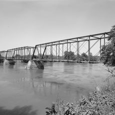
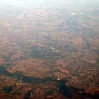
Mahaska County is a county in southeastern Iowa covering agricultural land and gently rolling terrain. The area is crisscrossed by highways that link its scattered communities and farming regions together.
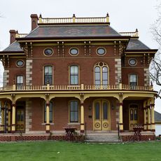
The county was founded in 1843 and named after Chief Mahaska of the Iowa tribe. Oskaloosa became its administrative center in 1844.
The county maintains educational facilities, including the Environmental Learning Center, which provides nature education programs and outdoor recreation opportunities for residents.
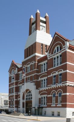
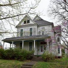
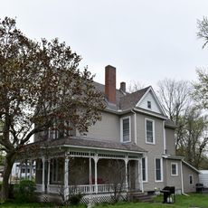
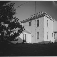
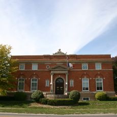
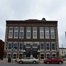
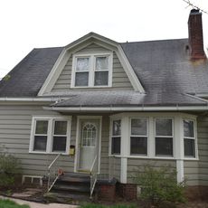
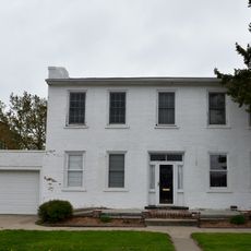
The county courthouse in Oskaloosa handles administrative services and legal matters for residents. Visitors should expect small towns and substantial distances between communities.
During the 19th century, Muchakinock was the site of major coal mining operations and housed Iowa's largest coal camp. This industrial activity shaped the region's economic development significantly.
The community of curious travelers
AroundUs brings together thousands of curated places, local tips, and hidden gems, enriched daily by 60,000 contributors worldwide.