Enable Location

We need your location to show you interesting places around you

Discover nearby places

Find interesting locations and hidden gems around you

Precise directions

Get accurate directions and distances to places

Your location is never shared with other users. It's only used when you tap the location button.

Pocahontas County

Log in to your account

Start exploring — it's free

Trusted by 61,853 travelers worldwide

Continue with Google
Continue with Apple
or

We will send you a code to connect

By continuing, you accept our Terms and Conditions and our Privacy Policy

Check your inbox

We've sent a pincode in your inbox. Please enter the code below.

Pocahontas County, Rural county in central Iowa, United States.

Description

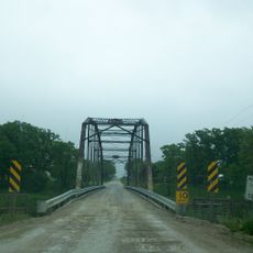
Pocahontas County is an administrative division in central Iowa comprising mostly farmland, small towns, and open spaces. The terrain sits at about 376 meters elevation with rolling grasslands, few large towns, and scattered communities throughout.

History

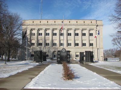
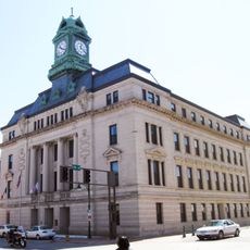
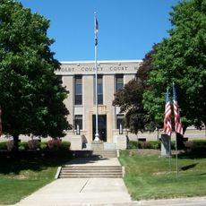
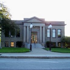
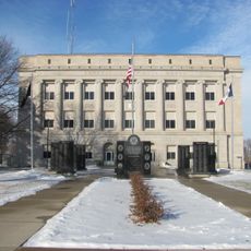
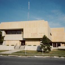
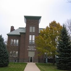
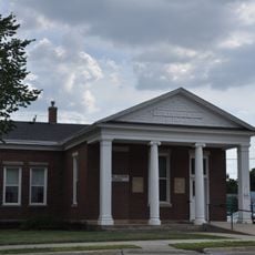
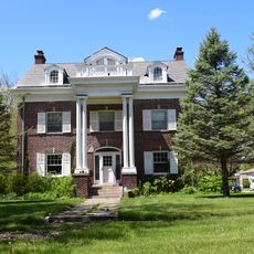
The county was established in 1851 as an administrative division of Iowa and quickly grew into an agricultural heartland. Pocahontas city later became the government center, anchoring this rural region for generations.

Culture

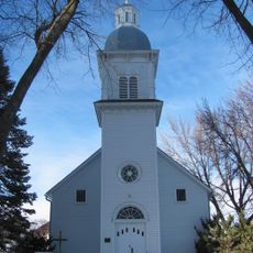
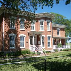
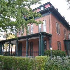
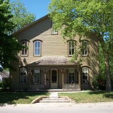
Farming shapes daily life across the county, and visitors see fields that stretch far in every direction. Local families gather for community events that reflect their deep roots in rural traditions.

Practical

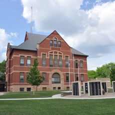
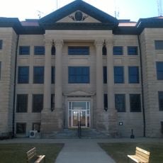
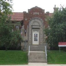
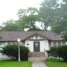
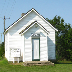
Visitors find government offices, schools, and public facilities centered in Pocahontas city, with basic services spread across smaller towns throughout the county. A car is useful for exploring since public transportation is limited in rural areas.

Did you know?

Beneath the county lies part of the Manson crater, an ancient meteorite impact structure hidden under layers of glacial deposits from the ice age. This hidden geological feature reveals that a meteor struck this region millions of years ago, leaving only faint traces today.

Location
Inception
1851
Capital city
Pocahontas
Elevation above the sea
376 m
Shares border with
Palo Alto County, Calhoun County, Humboldt County, Webster County, Buena Vista County, Sac County, Clay County, Kossuth County
GPS coordinates
42.73444,-94.67750
Latest update
December 7, 2025 20:48

AroundUs brings together thousands of curated places, local tips, and hidden gems, enriched daily by 60,000 contributors worldwide. Discover all places nearby (Iowa).

Around this place
Grotto of the Redemption
United States of America

Grotto of the Redemption

31.8 km
Webster County Courthouse
United States of America

Webster County Courthouse

47.6 km
Saints Peter and Paul Catholic Church
United States of America

Saints Peter and Paul Catholic Church

546 m
Humboldt County Courthouse
United States of America

Humboldt County Courthouse

37.8 km
Sac County Courthouse
United States of America

Sac County Courthouse

43.4 km
Calhoun County Courthouse
United States of America

Calhoun County Courthouse

38 km
Jesse J. and Mary F. Allee House
United States of America

Jesse J. and Mary F. Allee House

31.6 km
Humboldt Public Library
United States of America

Humboldt Public Library

37.5 km
Corydon Brown House
United States of America

Corydon Brown House

39.8 km
Berkhimer Bridge
United States of America

Berkhimer Bridge

34.7 km
Harker House
United States of America

Harker House

44.1 km
Pocahontas County Courthouse
United States of America

Pocahontas County Courthouse

790 m
Buena Vista County Courthouse
United States of America

Buena Vista County Courthouse

43.8 km
Palo Alto County Courthouse
United States of America

Palo Alto County Courthouse

41.9 km
Storm Lake Public Library
United States of America

Storm Lake Public Library

43.9 km
First National Bank Building
United States of America

First National Bank Building

47.5 km
Sac City Monument Square Historic District
United States of America

Sac City Monument Square Historic District

43.1 km
Vincent House
United States of America

Vincent House

47.9 km
United States of America

Seven Oaks

43.4 km
Stephen Harris Taft House
United States of America

Stephen Harris Taft House

37.4 km
Emmetsburg Public Library
United States of America

Emmetsburg Public Library

41.9 km
Sac City Chicago and North Western Depot
United States of America

Sac City Chicago and North Western Depot

43.6 km
Laurens Carnegie Free Library
United States of America

Laurens Carnegie Free Library

19.1 km
Lorenzo S. Coffin Burial Plot
United States of America

Lorenzo S. Coffin Burial Plot

42.5 km
George and Lola Perkins House
United States of America

George and Lola Perkins House

43.3 km
Park Hotel
United States of America

Park Hotel

43.1 km
Logan Center School No.5
United States of America

Logan Center School No.5

41.7 km
Perry C. and Mattie Forrest Holdoegel House
United States of America

Perry C. and Mattie Forrest Holdoegel House

38 km
Show the full map
Administrative divisions
« Pocahontas County - Rural county in central Iowa, United States » is provided by Around Us (aroundus.com). Images and texts are derived from Wikimedia project under a Creative Commons license. You are allowed to copy, distribute, and modify copies of this page, under the conditions set by the license, as long as this note is clearly visible.

Discover hidden gems everywhere you go!

From secret cafés to breathtaking viewpoints, skip the crowded tourist spots and find places that match your style. Our app makes it easy with voice search, smart filtering, route optimization, and insider tips from travelers worldwide. Download now for the complete mobile experience.

Around Us App Screenshot

A unique approach to discovering new places

Le Figaro

All the places worth exploring

France Info

A tailor-made excursion in just a few clicks

20 Minutes

Around Us
Travel Guide & Maps
Download

Send to your phone

QR Code
1

Open the camera app on your mobile.

2

Point at the QR code with your camera. A notification will appear.

3

Tap the notification to open the link.