Enable Location

We need your location to show you interesting places around you

Discover nearby places

Find interesting locations and hidden gems around you

Precise directions

Get accurate directions and distances to places

Your location is never shared with other users. It's only used when you tap the location button.

Jones County

Log in to your account

Start exploring — it's free

Trusted by 62,835 travelers worldwide

Continue with Google
Continue with Apple
or

We will send you a code to connect

By continuing, you accept our Terms and Conditions and our Privacy Policy

Check your inbox

We've sent a pincode in your inbox. Please enter the code below.

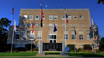
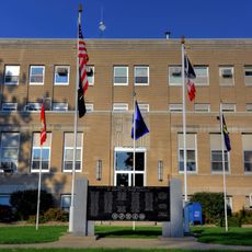
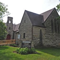
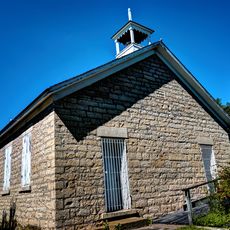
Jones County, Administrative county in Eastern Iowa, United States.

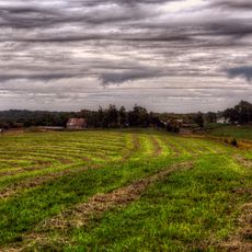
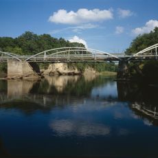
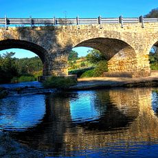
Jones County is an administrative county in eastern Iowa with around 577 square miles of territory. The landscape features rolling terrain, river valleys, and scattered lakes that define its natural character.

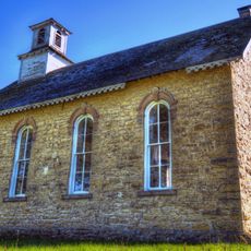
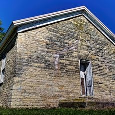
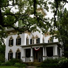
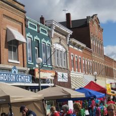
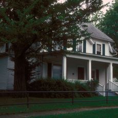
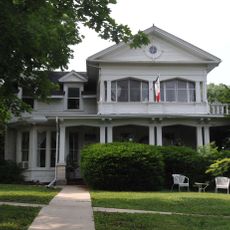
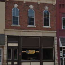
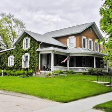
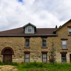
The county was established in 1837 and named after George Wallace Jones, a United States senator and congressman. It developed as a rural farming region with several small towns serving as local centers over the following decades.

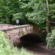
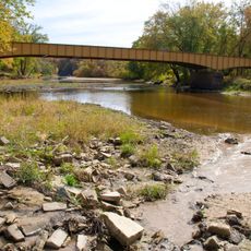
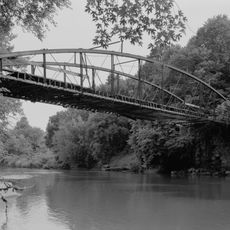
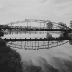
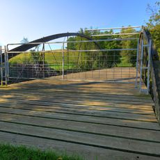
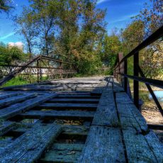
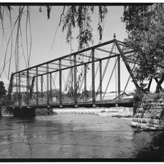
The county features multiple parks including Wapsipinicon State Park and Central Park, offering residents extensive outdoor recreation and community gatherings.

The county is easily accessible via U.S. Highway 151 and various state routes connecting the area's towns. Nearby larger cities like Cedar Rapids and Dubuque provide good reference points for planning visits to different parts of the region.

Wapsipinicon State Park is a significant green space with natural river habitats and walking trails. The park allows visitors to explore local ecosystems and observe wildlife in their natural setting.

The community of curious travelers

AroundUs brings together thousands of curated places, local tips, and hidden gems, enriched daily by 60,000 contributors worldwide.

Start exploring
Location
Inception
December 21, 1837
Capital city
Anamosa
Shares border with
Dubuque County, Cedar County, Jackson County, Clinton County, Linn County, Delaware County
GPS coordinates
42.12000,-91.13472
Latest update
December 7, 2025 20:45
Around this place
Anamosa State Penitentiary
United States of America

Anamosa State Penitentiary

12.9 km
Wapsipinicon State Park
United States of America

Wapsipinicon State Park

12.8 km
John A. Green Estate
United States of America

John A. Green Estate

17.9 km
St. Joseph's Roman Catholic Church
United States of America

St. Joseph's Roman Catholic Church

18.2 km
Jones County Courthouse
United States of America

Jones County Courthouse

12.9 km
Grant Wood's "Fall Plowing" Rural Historic Landscape District
United States of America

Grant Wood's "Fall Plowing" Rural Historic Landscape District

21 km
Hale Bridge
United States of America

Hale Bridge

12 km
Ely's Stone Bridge
United States of America

Ely's Stone Bridge

16.9 km
St. Luke's Methodist Church
United States of America

St. Luke's Methodist Church

14.1 km
Matsell Bridge
United States of America

Matsell Bridge

20.6 km
Corbett's/Eby's Mill Bridge
United States of America

Corbett's/Eby's Mill Bridge

10.9 km
Canton School
United States of America

Canton School

20.2 km
Central School
United States of America

Central School

23.9 km
Col. William T. and Elizabeth C. Shaw House
United States of America

Col. William T. and Elizabeth C. Shaw House

11.5 km
Antioch School
United States of America

Antioch School

7.6 km
Farm No. 1, Iowa Men's Reformatory
United States of America

Farm No. 1, Iowa Men's Reformatory

13.9 km
Anamosa Main Street Historic District
United States of America

Anamosa Main Street Historic District

12.5 km
Dr. Martin H. Caulkins House and Office
United States of America

Dr. Martin H. Caulkins House and Office

12.7 km
Fremont Mill Bridge
United States of America

Fremont Mill Bridge

1.1 km
Lower Road Bridge
United States of America

Lower Road Bridge

14.1 km
S.S. Farwell House
United States of America

S.S. Farwell House

14.7 km
Odd Fellows Hall
United States of America

Odd Fellows Hall

13.9 km
Edmund and Mary Ann Walworth Booth House
United States of America

Edmund and Mary Ann Walworth Booth House

12.5 km
Mill Creek Bridge
United States of America

Mill Creek Bridge

24.7 km
Mill Rock School
United States of America

Mill Rock School

25.4 km
Rick's Brewery
United States of America

Rick's Brewery

13.7 km
Sauser-Lane House
United States of America

Sauser-Lane House

22.2 km
Anamosa Bridge
United States of America

Anamosa Bridge

13.2 km
Show the full map
Administrative divisions
« Jones County - Administrative county in Eastern Iowa, United States » is provided by Around Us (aroundus.com). Images and texts are derived from Wikimedia project under a Creative Commons license. You are allowed to copy, distribute, and modify copies of this page, under the conditions set by the license, as long as this note is clearly visible.

Discover hidden gems everywhere you go!

From secret cafés to breathtaking viewpoints, skip the crowded tourist spots and find places that match your style. Our app makes it easy with voice search, smart filtering, route optimization, and insider tips from travelers worldwide. Download now for the complete mobile experience.

Around Us App Screenshot

A unique approach to discovering new places

Le Figaro

All the places worth exploring

France Info

A tailor-made excursion in just a few clicks

20 Minutes

Around Us
Travel Guide & Maps
Download

Send to your phone

QR Code
1

Open the camera app on your mobile.

2

Point at the QR code with your camera. A notification will appear.

3

Tap the notification to open the link.