Monroe County

Log in to your account

AroundUs is a community-driven map of interesting places, built by curious explorers like you. It grows with every review, story, and photo you share.
Connect to save your favorite spots, contribute locations, and create personalized routes.
By continuing, you accept our Terms and Conditions and our Privacy Policy
Add to collection
Map
Suggest a change
Share

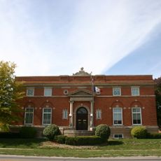
Monroe County, County in south central Iowa, United States.

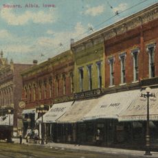
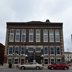
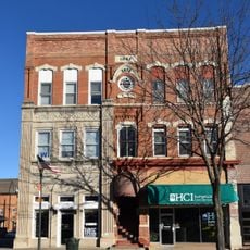
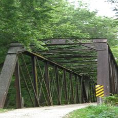
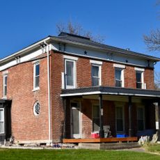
Monroe County is a county in south central Iowa comprising four main towns: Albia, Eddyville, Lovilia, and Melrose. The region is connected by state and federal highways that link residents and neighboring areas.

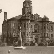
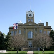
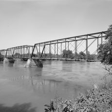
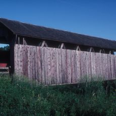
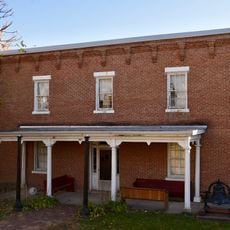
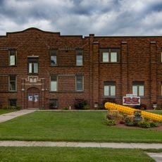
Originally named Kishkekosh County after a Meskwaki leader, the area was renamed Monroe County in 1843 to honor the fifth US President. Coal mining became the dominant industry starting in the late 1800s, drawing workers and shaping settlement patterns for decades.

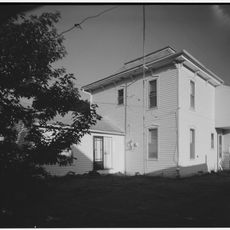
Coal mining shaped settlement patterns and community life for generations, influencing which towns grew and how people organized themselves. The remaining towns still reflect traces of this industrial heritage in their layout and local character.

The county is accessible via U.S. Highway 34, Iowa Highway 5, and Iowa Highway 137, which connect all four main towns. Spring and fall offer the most pleasant conditions for driving through the region, with mild temperatures and clear roads.

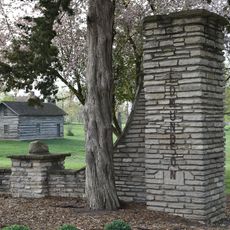
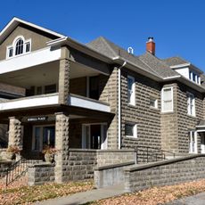
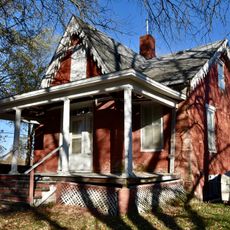
The former mining town of Buxton stood out in the early 1900s for having a predominantly Black population, an unusual pattern for the region. This demographic composition gave the town its own distinct character and community identity.

Location: Iowa

Inception: 1843

Capital city: Albia

Elevation above the sea: 240 m

Shares border with: Mahaska County, Appanoose County, Wapello County, Davis County, Marion County, Lucas County, Wayne County

Website: http://monroecoia.us

GPS coordinates: 41.02833,-92.87000

Latest update: December 10, 2025 16:00

Photos
Around this place
Red Haw State Park
United States of America

Red Haw State Park

34.3 km
Appanoose County Courthouse
United States of America

Appanoose County Courthouse

32.8 km
Edmundson Park Historic District
United States of America

Edmundson Park Historic District

33.6 km
Second Baptist Church
United States of America

Second Baptist Church

33.2 km
Phillip Hoffman House
United States of America

Phillip Hoffman House

35 km
Monroe County Courthouse
United States of America

Monroe County Courthouse

5.3 km
Oskaloosa Public Library
United States of America

Oskaloosa Public Library

35 km
Eveland Bridge
United States of America

Eveland Bridge

25.7 km
Noble-Kendall House
United States of America

Noble-Kendall House

5.4 km
Bellefountain Bridge
United States of America

Bellefountain Bridge

28.2 km
T.B. Perry House
United States of America

T.B. Perry House

4.9 km
Albia Square and Central Commercial Historic District
United States of America

Albia Square and Central Commercial Historic District

5.3 km
Hammond Covered Bridge
United States of America

Hammond Covered Bridge

20.5 km
Oskaloosa City Hall
United States of America

Oskaloosa City Hall

35.1 km
Lincoln School
United States of America

Lincoln School

35 km
Courthouse Square Historic District
United States of America

Courthouse Square Historic District

32.7 km
Appanoose County Sheriff's House and Jail
United States of America

Appanoose County Sheriff's House and Jail

32.4 km
Drake Public Library
United States of America

Drake Public Library

33 km
Porter Hall
United States of America

Porter Hall

33.4 km
United States Post Office
United States of America

United States Post Office

33 km
Harvey Railroad Bridge
United States of America

Harvey Railroad Bridge

32.3 km
Dr. George A. Jenkins House
United States of America

Dr. George A. Jenkins House

4.9 km
Arvine and Elizabeth W. White House
United States of America

Arvine and Elizabeth W. White House

5.3 km
Williamson School
United States of America

Williamson School

33.4 km
John H. Shoemake House
United States of America

John H. Shoemake House

35 km
Stratton House
United States of America

Stratton House

32.6 km
Sturdivant-Sawyer House
United States of America

Sturdivant-Sawyer House

33.4 km
Stock Judging Pavilion
United States of America

Stock Judging Pavilion

35.1 km
Show the full map
Reviews

Visited this place? Tap the stars to rate it and share your experience / photos with the community! Try now! You can cancel it anytime.

Administrative divisions
« Monroe County - County in south central Iowa, United States » is provided by Around Us (aroundus.com). Images and texts are derived from Wikimedia project under a Creative Commons license. You are allowed to copy, distribute, and modify copies of this page, under the conditions set by the license, as long as this note is clearly visible.

Discover hidden gems everywhere you go!

From secret cafés to breathtaking viewpoints, skip the crowded tourist spots and find places that match your style. Our app makes it easy with voice search, smart filtering, route optimization, and insider tips from travelers worldwide. Download now for the complete mobile experience.

Around Us App Screenshot

A unique approach to discovering new places

Le Figaro

All the places worth exploring

France Info

A tailor-made excursion in just a few clicks

20 Minutes