Floyd County

Log in to your account

AroundUs is a community-driven map of interesting places, built by curious explorers like you. It grows with every review, story, and photo you share.
Connect to save your favorite spots, contribute locations, and create personalized routes.
Continue with Google
Continue with Apple
Continue with X
Continue with Facebook
Continue with email
By continuing, you accept our Terms and Conditions and our Privacy Policy
Create an account
Add to collection
Map
Suggest a change
Share

Floyd County, Administrative county in Iowa, United States.

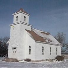
Floyd County is an administrative division in Iowa containing farmland, small towns, and the Cedar River running through its landscape. The county serves as a rural area where highways connect various communities and local services.

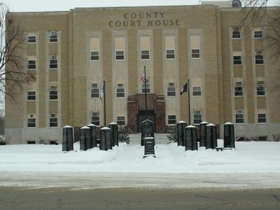
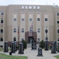
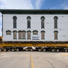
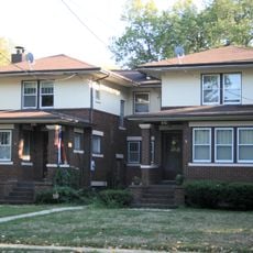
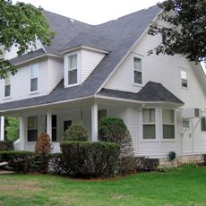
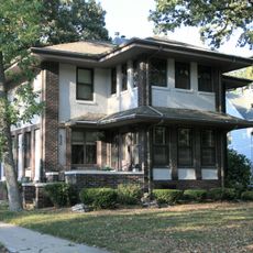
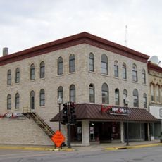
The county was established in 1851 with Charles City designated as its administrative center. It grew as a settlement area for European immigrants who developed its agricultural character.

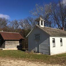
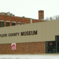
The Charles City Public Library and Floyd County Historical Museum hold local documents and photographs showing how residents have lived across generations. These places tell the story of the families who settled here and shaped the region over time.

The area is well served by highways, particularly U.S. Routes 18 and 218 that meet in Charles City. Having a car is helpful for exploring the scattered communities and outdoor areas throughout the county.

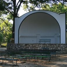
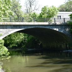
The Cedar River creates multiple spots where visitors can access the water for fishing and recreation. These natural gathering places often draw people seeking a quiet escape from busier areas.

Location: Iowa

Inception: 1851

Capital city: Charles City

Shares border with: Mitchell County, Butler County, Bremer County, Howard County, Chickasaw County, Cerro Gordo County, Franklin County

Website: http://floydcoia.org

GPS coordinates: 43.05667,-92.78389

Latest update: December 10, 2025 16:00

Photos
Around this place
Dr. G.C. Stockman House
United States of America

Dr. G.C. Stockman House

34.8 km
Alvin Miller House
United States of America

Alvin Miller House

8.2 km
Rock Crest–Rock Glen Historic District
United States of America

Rock Crest–Rock Glen Historic District

34.8 km
Floyd County Court House
United States of America

Floyd County Court House

8.4 km
Walnut Grove School
United States of America

Walnut Grove School

23 km
Cedar Valley Seminary
United States of America

Cedar Valley Seminary

25.7 km
Dr. Salsbury's Laboratories, Main Office and Production Laboratory Building
United States of America

Dr. Salsbury's Laboratories, Main Office and Production Laboratory Building

8.6 km
East Park
United States of America

East Park

34.2 km
East Park Band Shell
United States of America

East Park Band Shell

34.3 km
Wildwood Park Historic District
United States of America

Wildwood Park Historic District

7.4 km
Butler County Courthouse
United States of America

Butler County Courthouse

33.5 km
Stewart Avenue Bridge
United States of America

Stewart Avenue Bridge

34.8 km
George Romey House
United States of America

George Romey House

34.9 km
Osage Commercial Historic District
United States of America

Osage Commercial Historic District

25.4 km
A.J. Andrus Duplex
United States of America

A.J. Andrus Duplex

34.4 km
Sherman Nursery Company Historic District
United States of America

Sherman Nursery Company Historic District

7.8 km
A. B. C. Dodd House
United States of America

A. B. C. Dodd House

9.4 km
Curtis Yelland House
United States of America

Curtis Yelland House

34.9 km
Charles Henry Parr House
United States of America

Charles Henry Parr House

8.5 km
State Street Bridge
United States of America

State Street Bridge

34.8 km
Charles Walter Hart House
United States of America

Charles Walter Hart House

10.1 km
Chris Rye House
United States of America

Chris Rye House

34.9 km
Main Street Bridge
United States of America

Main Street Bridge

8.5 km
Howardville Wesleyan Church
United States of America

Howardville Wesleyan Church

16 km
Lucius and Maria Clinton Lane House
United States of America

Lucius and Maria Clinton Lane House

11.6 km
Central Park-North Main Street Historic District
United States of America

Central Park-North Main Street Historic District

8.7 km
Nathaniel Cobb and Lucetia Baily Deering House
United States of America

Nathaniel Cobb and Lucetia Baily Deering House

25.3 km
Rancho Deluxe
United States of America

Rancho Deluxe

35 km
Show the full map
Reviews

Visited this place? Tap the stars to rate it and share your experience / photos with the community! Try now! You can cancel it anytime.

Administrative divisions
« Floyd County - Administrative county in Iowa, United States » is provided by Around Us (aroundus.com). Images and texts are derived from Wikimedia project under a Creative Commons license. You are allowed to copy, distribute, and modify copies of this page, under the conditions set by the license, as long as this note is clearly visible.

Discover hidden gems everywhere you go!

From secret cafés to breathtaking viewpoints, skip the crowded tourist spots and find places that match your style. Our app makes it easy with voice search, smart filtering, route optimization, and insider tips from travelers worldwide. Download now for the complete mobile experience.

Around Us App Screenshot

A unique approach to discovering new places

Le Figaro

All the places worth exploring

France Info

A tailor-made excursion in just a few clicks

20 Minutes