
Faribault County, Administrative county in southern Minnesota, United States.
Faribault County encompasses 1,869 square kilometers of territory with Blue Earth serving as its administrative center and primary municipality.
The Minnesota Territory established Faribault County on February 20, 1855, naming it after Jean-Baptiste Faribault, an early French trader in Minnesota.
The county maintains strong agricultural traditions with numerous family farms contributing to Minnesota's grain and livestock production across its rural landscape.
Interstate 90 and U.S. Route 169 intersect through the county, connecting residents to major regional centers while facilitating agricultural transportation.
The county contains twelve incorporated municipalities, including Blue Earth, which features geographical coordinates marking the exact center of Minnesota's southern border.
Location: Minnesota
Inception: February 20, 1855
Capital city: Blue Earth
Shares border with: Blue Earth County, Waseca County, Freeborn County, Winnebago County, Kossuth County, Martin County
Website: http://co.faribault.mn.us
GPS coordinates: 43.68000,-93.95000
Latest update: March 6, 2025 16:56
Myre-Big Island State Park
51.9 km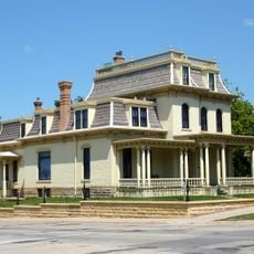
Renesselaer D. Hubbard House
53.8 km
Kern Bridge
48.4 km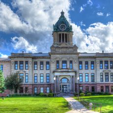
Martin County Courthouse
41.6 km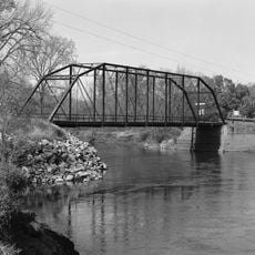
Dodd Ford Bridge
29 km
First Baptist Church
44.5 km
Clarks Grove Cooperative Creamery
50.8 km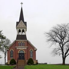
Vista Lutheran Church
49.7 km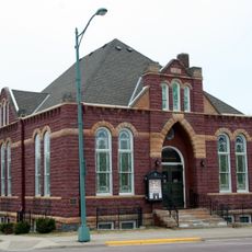
Red Rock Center for the Arts
41.1 km
Bessesen Building
46.9 km
Church of the Good Shepherd-Episcopal
13 km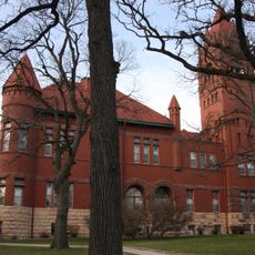
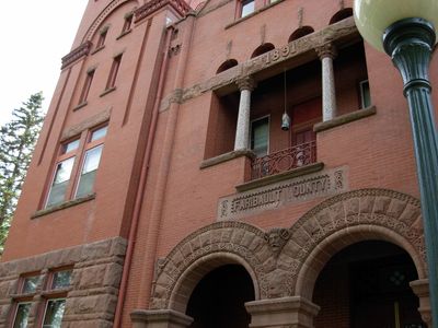
Faribault County Courthouse
13 km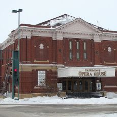
Fairmont Opera House
41.3 km
Winnebago County Courthouse
52.8 km
Peter Kremer House
20.4 km
Orville P. and Sarah Chubb House
41.6 km
Sterling Congregational Church
25.8 km
Lucas Troendle House
27.6 km
Charles J. Thompson House
52.5 km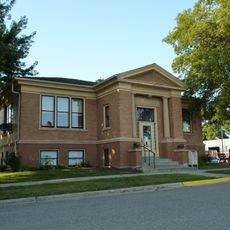
Janesville Free Public Library
52.4 km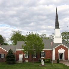
First Church of Christ, Scientist, Albion Avenue
41.4 km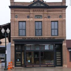
Strangers Refuge Lodge Number 74, IOOF
43.7 km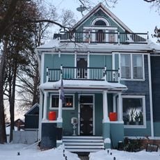
Adolph O. Eberhart House
53.4 km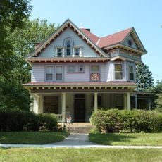
J.R. Brandrup House
53 km
Charles Chapman House
53.4 km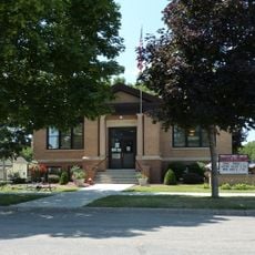
Mapleton Public Library
27.5 km
William Irving House
53.7 km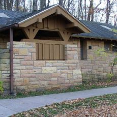
Minneopa State Park WPA/Rustic Style Historic Resources
53.4 kmReviews
Visited this place? Tap the stars to rate it and share your experience / photos with the community! Try now! You can cancel it anytime.
Discover hidden gems everywhere you go!
From secret cafés to breathtaking viewpoints, skip the crowded tourist spots and find places that match your style. Our app makes it easy with voice search, smart filtering, route optimization, and insider tips from travelers worldwide. Download now for the complete mobile experience.

A unique approach to discovering new places❞
— Le Figaro
All the places worth exploring❞
— France Info
A tailor-made excursion in just a few clicks❞
— 20 Minutes