
Chenango County, Administrative county in Southern Tier region, New York State, US.
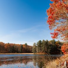
Chenango County extends across 899 square miles of land with forests covering 60 percent of its territory and farmland occupying 30 percent of the area.
The territory belonged to the Oneida people until 1788 when Clinton's Purchase led to the creation of 20 towns west of the Unadilla River.
The name Chenango originates from an Oneida language word denoting a large bull-thistle, reflecting the Native American heritage of the region.
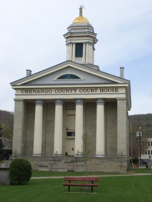
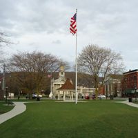
Norwich, the county seat, provides governmental services and hosts a branch of Morrisville State College for higher education opportunities.
The Maydole Hammer factory in Chenango County created the first ball-peen hammer, marking the region's contribution to industrial manufacturing history.
Location: New York
Inception: March 15, 1798
Capital city: Norwich
Shares border with: Madison County, Cortland County, Broome County, Delaware County, Otsego County
Website: http://co.chenango.ny.us
GPS coordinates: 42.50000,-75.62000
Latest update: May 26, 2025 21:54
Chenango Valley State Park
36.1 km
Spirit House
21.8 km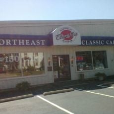
Northeast Classic Car Museum
9 km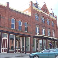
Earlville Opera House
27.4 km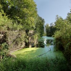
Chenango Canal Prism and Lock 107
34.1 km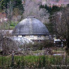
Bates Round Barn
26.6 km
Earlville Historic District
27.4 km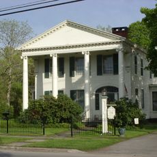
Roswell Wright House
32 km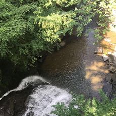
Rexford Falls
23.3 km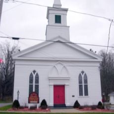
Columbus Community Church
28.7 km
Theodore Burr House
6.9 km
South Otselic Historic District
21 km
Upperville Meeting House
22.3 km
Rockdale Community Church
22.1 km
Oxford Village Historic District
6.9 km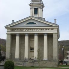
Chenango County Courthouse District
8.6 km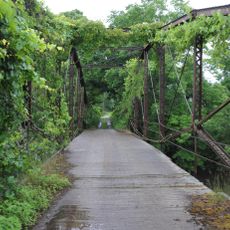
Town Line Bridge
22.8 km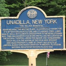
Unadilla Village Historic District
32.3 km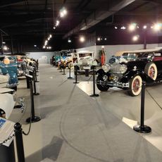
Northeast Classic Car Museum
9 km
Young Round Barn
27.6 km
Bainbridge Historic District
25.6 km
Horace O. Moss House
27.2 km
Greene Historic District
22.8 km
Sidney Historic District
27.6 km
Guilford Center Presbyterian Church
16.5 km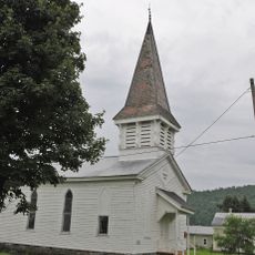
Union Valley Congregational Church
26.2 km
Main Street Historic District
31.2 km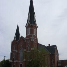
Methodist-Episcopal Church of Norwich
8.7 kmReviews
Visited this place? Tap the stars to rate it and share your experience / photos with the community! Try now! You can cancel it anytime.
Discover hidden gems everywhere you go!
From secret cafés to breathtaking viewpoints, skip the crowded tourist spots and find places that match your style. Our app makes it easy with voice search, smart filtering, route optimization, and insider tips from travelers worldwide. Download now for the complete mobile experience.

A unique approach to discovering new places❞
— Le Figaro
All the places worth exploring❞
— France Info
A tailor-made excursion in just a few clicks❞
— 20 Minutes