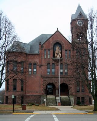
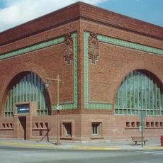
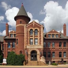
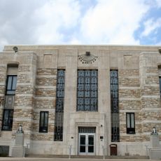
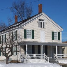
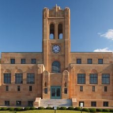
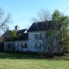
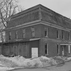
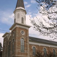
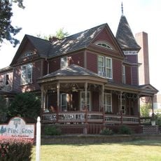
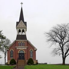
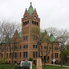
Steele County, Administrative division in southern Minnesota, United States.
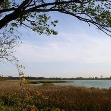
Steele County is an administrative division in southern Minnesota characterized by farmland, rolling hills, and waterways including the Straight River flowing through its center. The county is crossed by Interstate 35 and U.S. Route 14, which link it to broader regional transportation networks.
The county was established in 1855 and named after Franklin Steele, an early settler in Minnesota Territory. It was formed by dividing lands from Rice, Blue Earth, and Le Sueur counties.
The annual Steele County Fair in Owatonna brings together farmers, exhibitors, and residents to celebrate agricultural traditions and community life. This gathering remains a central event where visitors can see how farming shapes the region's identity and daily rhythms.
The area is easily accessible via two main highways that connect visitors to regional destinations and the local airport. Summer and early fall are good times to visit, especially when the annual fair draws crowds and the farming season is active.
The South Branch of the Middle Fork of the Zumbro River originates here and flows eastward into neighboring Dodge County. This waterway connects the area to a broader river system that shapes the regional landscape.
Location: Minnesota
Inception: February 20, 1855
Capital city: Owatonna
Shares border with: Rice County, Dodge County, Mower County, Freeborn County, Waseca County
Website: http://co.steele.mn.us
GPS coordinates: 44.02000,-93.22000
Latest update: December 8, 2025 13:40
National Farmers' Bank of Owatonna
7.3 km
Minnesota State Public School for Dependent and Neglected Children
7.9 km
Rice Lake State Park
15 km
Rice County Courthouse and Jail
30.8 km
Alexander Faribault House
30.4 km
Thomas Scott Buckham Memorial Library
30.3 km
Daniel S. Piper House
16.5 km
Blind Department Building and Dow Hall, State School for the Blind
29.9 km
Congregational Church of Faribault
30.7 km
Clarks Grove Cooperative Creamery
29.8 km
William R. Wolf House
23.4 km
Vista Lutheran Church
20.9 km
Steele County Courthouse
7.1 km
Waseca County Courthouse
24 km
Owatonna Public Library
7.3 km
Dr. John H. Adair House
7.4 km
Bridge No. L-5573
13.8 km
Thomas and Bridget Shanahan McMahon House
30.2 km
Owatonna City and Firemen's Hall
7.1 km
John W. Aughenbaugh House
23 km
Faribault Viaduct
30.4 km
Faribault City Hall
30.6 km
Philo C. Bailey House
23.6 km
Roscoe P. Ward House
23 km
Ezra Abbott House
7.2 km
Strangers Refuge Lodge Number 74, IOOF
26.1 km
Batchelder's Block
30.5 km
Blooming Prairie Commercial Historic District
21.8 kmVisited this place? Tap the stars to rate it and share your experience / photos with the community! Try now! You can cancel it anytime.
Discover hidden gems everywhere you go!
From secret cafés to breathtaking viewpoints, skip the crowded tourist spots and find places that match your style. Our app makes it easy with voice search, smart filtering, route optimization, and insider tips from travelers worldwide. Download now for the complete mobile experience.
A unique approach to discovering new places❞
— Le Figaro
All the places worth exploring❞
— France Info
A tailor-made excursion in just a few clicks❞
— 20 Minutes