
Howard County, Administrative county in central Missouri, United States.
Howard County spans 472 square miles along the Missouri River, featuring agricultural lands, small towns, and the county seat of Fayette.
The county was established in 1816 and named after Benjamin Howard, with settlers from Kentucky, Tennessee, and Virginia forming its initial population.
The region belongs to the Little Dixie area, with German immigrants arriving after 1848 adding to the cultural diversity of the county.
Multiple school districts serve the county, including Fayette R-III and Glasgow, while U.S. Route 40 provides main transportation connections.
The county maintains extensive genealogical records and historical documentation, spanning from early settlement through contemporary times at the Missouri Historical Society.
Location: Missouri
Inception: 1816
Capital city: Fayette
Shares border with: Randolph County, Cooper County, Boone County, Chariton County, Saline County
GPS coordinates: 39.14000,-92.70000
Latest update: April 8, 2025 13:35

Central Methodist University
1.7 km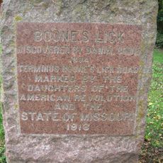
Boone's Lick State Historic Site
16.8 km
Arrow Rock State Historic Site
21.1 km
Arrow Rock Historic District
22.7 km
J. Huston Tavern
22.7 km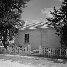
George Caleb Bingham House
22.4 km
Rocheport
21.5 km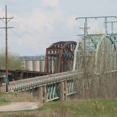
Glasgow Railroad Bridge
15.9 km
Morrison Observatory
1.3 km
Greenwood
9.6 km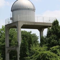
Principia Astronomical Observatory
1.3 km
Thomas Nelson House
18.7 km
Glasgow Bridge, Missouri
15.9 km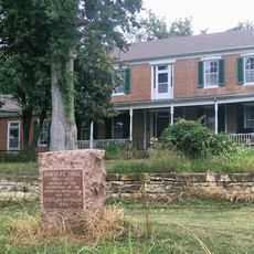
Cedar Grove
16.8 km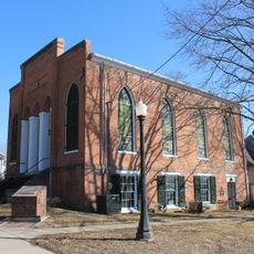
Glasgow Presbyterian Church
15.7 km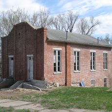
Campbell Chapel African Methodist Episcopal Church
15.6 km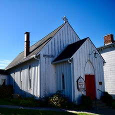
St. Mary's Episcopal Church
1.5 km
Lyric Theater
18.9 km
Oakwood
2.2 km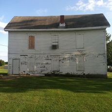
Harrisburg School
20.6 km
St. Matthew's Chapel A.M.E. Church
19.3 km
Glasgow Public Library
15.6 km
Roeschel-Toennes-Oswald Property
19.3 km
Harris-Chilton-Ruble House
13.8 km
Edwin and Nora Payne Bedford House
8.3 km
Dr. Uriel S. Wright Office
1.6 km
Historic District D
18.7 km
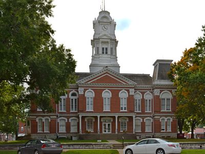
Fayette Courthouse Square Historic District
1.6 kmReviews
Visited this place? Tap the stars to rate it and share your experience / photos with the community! Try now! You can cancel it anytime.

Discover hidden gems everywhere you go!
From secret cafés to breathtaking viewpoints, skip the crowded tourist spots and find places that match your style. Our app makes it easy with voice search, smart filtering, route optimization, and insider tips from travelers worldwide. Download now for the complete mobile experience.

A unique approach to discovering new places❞
— Le Figaro
All the places worth exploring❞
— France Info
A tailor-made excursion in just a few clicks❞
— 20 Minutes