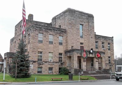
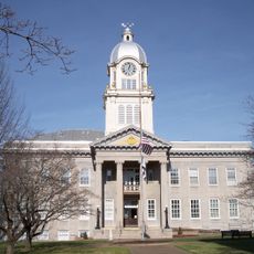
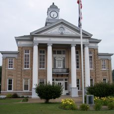
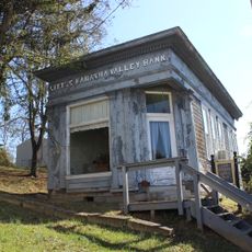
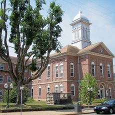
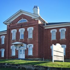
Calhoun County, County administration center in Grantsville, West Virginia, US.
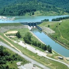
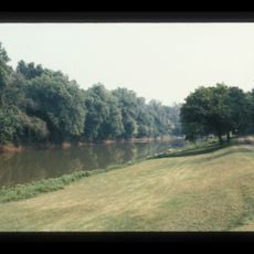
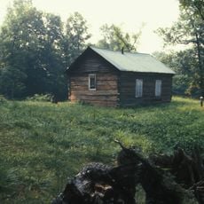
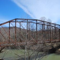
Calhoun County is an administrative division in West Virginia with Grantsville as its county seat. The Little Kanawha River runs through the northern area, and U.S. Highways 33 and 119 connect it to surrounding regions.
The county was established in 1856 as part of Virginia and became part of West Virginia when the state separated in 1863. This change reflected the larger reshaping of the region during that era.
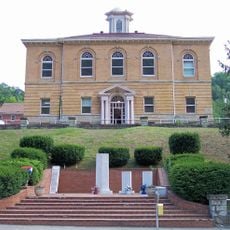
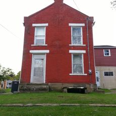
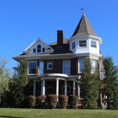
The county library holds documents about families and local history that show how people have lived here across generations. Visitors can explore the roots of the region and learn about the communities that shaped it.
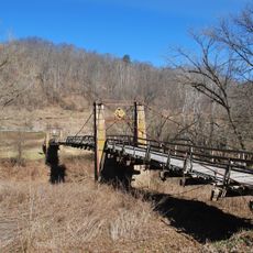
To explore the area, visitors can use U.S. Highways 33 and 119, which run through the county and make getting around straightforward. Several parks dot Route 16 throughout the region, offering outdoor recreation and green spaces.
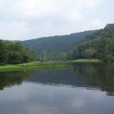
The county is home to four public parks strung along Route 16, including Upper West Fork Park and West Fork Park, which draw nature enthusiasts. These parks form a green corridor that reflects the region's outdoor heritage.
The community of curious travelers
AroundUs brings together thousands of curated places, local tips, and hidden gems, enriched daily by 60,000 contributors worldwide.