
Cumberland, town in Maine, the United States
Location: Cumberland County
Elevation above the sea: 0 m
Website: http://cumberlandmaine.com
GPS coordinates: 43.78111,-70.21750
Latest update: March 4, 2025 01:46
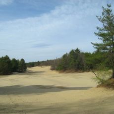
Desert of Maine
9.8 km
Eartha
5.2 km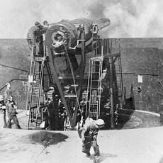
Fort McKinley, Maine
11.5 km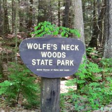
Wolfe's Neck Woods State Park
11.4 km
Tukey's Bridge
12.1 km
Payson Park
11.8 km
Baxter Summer Home
10.4 km
Winslow Memorial Park
8.8 km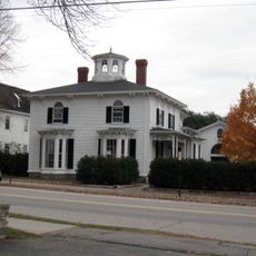
Capt. S.C. Blanchard House
3.2 km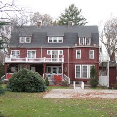
Camp Hammond
3.3 km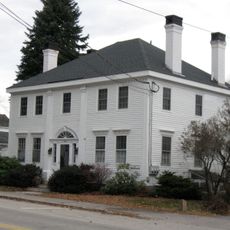
Mitchell House
3.2 km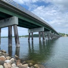
Ellis C. Snodgrass Memorial Bridge
5.6 km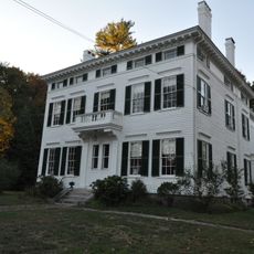
Capt. Reuben Merrill House
2.5 km
Payson House at Thornhurst
7.3 km
Norton House Historic District
5.5 km
Thomas Skelton House
8.3 km
Winn Road School
3.5 km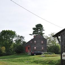
Capt. Greenfield Pote House
12.1 km
Plummer-Motz School
6.7 km
Stevens Avenue Armory
12.4 km
Falmouth House
6.8 km
Academy Hall
3.4 km
First Baptist Church
3.1 km
Hall's Tavern
6.8 km
Elisha Purington House
10.3 km
Capt. Reuel and Lucy Merrill House
3.4 km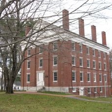
Russell Hall
3.4 km
Gilman Manse
3.2 kmReviews
Visited this place? Tap the stars to rate it and share your experience / photos with the community! Try now! You can cancel it anytime.
Discover hidden gems everywhere you go!
From secret cafés to breathtaking viewpoints, skip the crowded tourist spots and find places that match your style. Our app makes it easy with voice search, smart filtering, route optimization, and insider tips from travelers worldwide. Download now for the complete mobile experience.

A unique approach to discovering new places❞
— Le Figaro
All the places worth exploring❞
— France Info
A tailor-made excursion in just a few clicks❞
— 20 Minutes