Watonwan County

Log in to your account

AroundUs is a community-driven map of interesting places, built by curious explorers like you. It grows with every review, story, and photo you share.
Connect to save your favorite spots, contribute locations, and create personalized routes.
Continue with Google
Continue with Apple
Continue with X
Continue with Facebook
Continue with email
By continuing, you accept our Terms and Conditions and our Privacy Policy
Create an account
Add to collection
Map
Suggest a change
Share

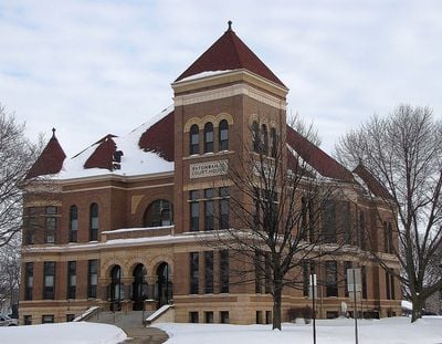
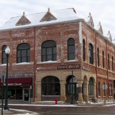
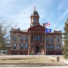
Watonwan County, Administrative county in southern Minnesota, United States

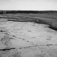
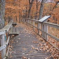
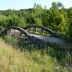
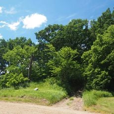
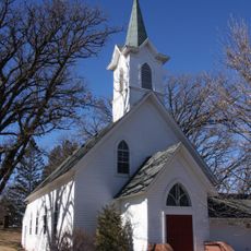
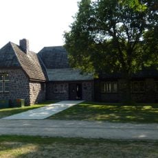
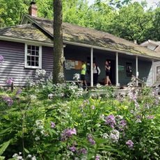
Watonwan County is an administrative division in southern Minnesota featuring rolling hills and multiple protected wildlife areas spread across its territory. The landscape is dominated by farmland, creating the rural character visible throughout the region.

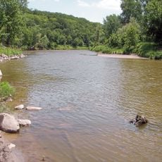
The county was established in 1860 when it separated from Brown County and took its name from the Watonwan River, which means fish bait. This naming reflects the early connection to the area's water resources and natural economy.

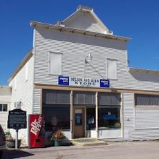
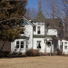
The area is home to a diverse community with strong Hispanic and Latino roots that shape daily life and local events throughout the region. These residents have brought their own traditions and businesses, contributing significantly to the character of the place.

The St. James Municipal Airport located east of the county seat offers regional air connections for visitors. The terrain is relatively flat and easy to navigate, though traveling between smaller communities does require patience.

The Soil and Water Conservation District operates various environmental programs, including annual tree sales and native plant projects for local restoration. These initiatives allow visitors and residents to actively participate in caring for the landscape.

Location: Minnesota

Inception: November 6, 1860

Capital city: St. James

Shares border with: Brown County, Martin County, Blue Earth County, Cottonwood County, Jackson County

Website: http://co.watonwan.mn.us

GPS coordinates: 43.98000,-94.61000

Latest update: December 10, 2025 15:58

Photos
Around this place
Hermann Heights Monument
United States of America

Hermann Heights Monument

38 km
Jeffers Petroglyphs
United States of America

Jeffers Petroglyphs

37.6 km
Flandrau State Park
United States of America

Flandrau State Park

36 km
Kilen Woods State Park
United States of America

Kilen Woods State Park

46 km
Seppman Mill
United States of America

Seppman Mill

44.7 km
Martin County Courthouse
United States of America

Martin County Courthouse

38.2 km
First Baptist Church
United States of America

First Baptist Church

36.3 km
Dodd Ford Bridge
United States of America

Dodd Ford Bridge

35.8 km
Grand Opera House
United States of America

Grand Opera House

1.6 km
Marsh Concrete Rainbow Arch Bridge
United States of America

Marsh Concrete Rainbow Arch Bridge

34.9 km
Cottonwood County Courthouse
United States of America

Cottonwood County Courthouse

42.6 km
Red Rock Center for the Arts
United States of America

Red Rock Center for the Arts

38.5 km
Godahl Store
United States of America

Godahl Store

14.5 km
Mountain Lake Site
United States of America

Mountain Lake Site

28.6 km
Wanda Gág House
United States of America

Wanda Gág House

38.9 km
New Ulm Oil Company Service Station
United States of America

New Ulm Oil Company Service Station

39.3 km
Fairmont Opera House
United States of America

Fairmont Opera House

38.4 km
West Bridge
United States of America

West Bridge

16 km
Nora Free Christian Church
United States of America

Nora Free Christian Church

20.9 km
Isaac Bargen House
United States of America

Isaac Bargen House

25.8 km
Orville P. and Sarah Chubb House
United States of America

Orville P. and Sarah Chubb House

38.1 km
Kansas Lake Evangelical Lutheran Church
United States of America

Kansas Lake Evangelical Lutheran Church

12.4 km
First Church of Christ, Scientist, Albion Avenue
United States of America

First Church of Christ, Scientist, Albion Avenue

38.7 km
Flandrau State Park CCC/WPA/Rustic Style Historic Resources
United States of America

Flandrau State Park CCC/WPA/Rustic Style Historic Resources

36.5 km
Harkin Store
United States of America

Harkin Store

45.3 km
Madelia Theater
United States of America

Madelia Theater

17.2 km
August Schell Brewing Company
United States of America

August Schell Brewing Company

36.7 km
Old Main, Dr. Martin Luther College
United States of America

Old Main, Dr. Martin Luther College

37.9 km
Show the full map
Reviews

Visited this place? Tap the stars to rate it and share your experience / photos with the community! Try now! You can cancel it anytime.

« Watonwan County - Administrative county in southern Minnesota, United States » is provided by Around Us (aroundus.com). Images and texts are derived from Wikimedia project under a Creative Commons license. You are allowed to copy, distribute, and modify copies of this page, under the conditions set by the license, as long as this note is clearly visible.

Discover hidden gems everywhere you go!

From secret cafés to breathtaking viewpoints, skip the crowded tourist spots and find places that match your style. Our app makes it easy with voice search, smart filtering, route optimization, and insider tips from travelers worldwide. Download now for the complete mobile experience.

Around Us App Screenshot

A unique approach to discovering new places

Le Figaro

All the places worth exploring

France Info

A tailor-made excursion in just a few clicks

20 Minutes