McDowell County, County in southern West Virginia, United States
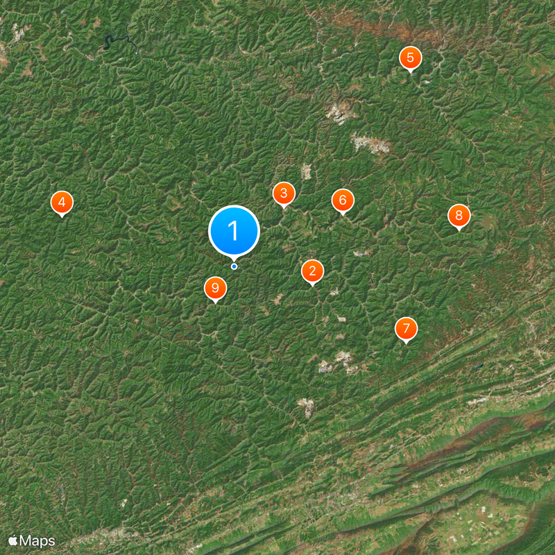
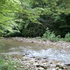
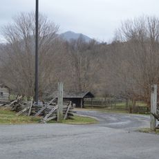
McDowell County is an administrative district in southern West Virginia that spreads across wooded mountain slopes and narrow valleys within the Cumberland Mountains. The landscape is shaped by steep elevations, with Flat Top Mountain reaching about 3399 feet (1036 meters) and offering wide views over the rugged terrain.
The Virginia General Assembly created this district in 1858, naming it after a former governor of the state of Virginia. During the Civil War, the territory joined the newly formed state of West Virginia and later experienced massive coal extraction that drove a sharp population increase in the 20th century.
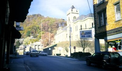
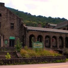
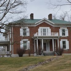
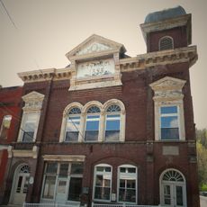
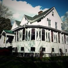
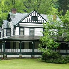
The name honors James McDowell, a Virginia governor whose family held political influence in early America. Many place names throughout the area reflect the Appalachian settler roots, while former mining communities now stand as quiet reminders of the industrial past.
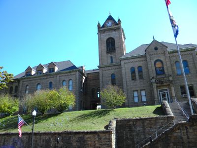
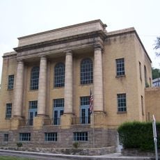
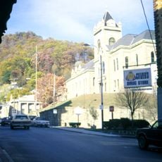
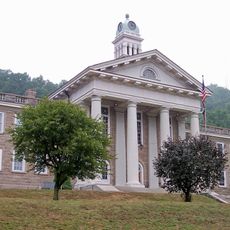
The county seat of Welch sits centrally and connects through several state highways that wind through the valleys and link the communities. Visitors exploring the area should expect winding routes and limited services in the smaller settlements.
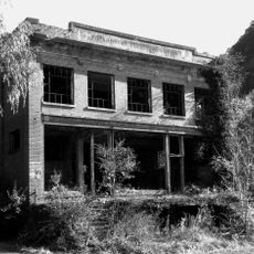
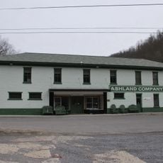
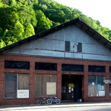
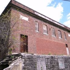
In the 1950s, this district led coal production and counted a six-figure population, but economic decline triggered a dramatic drop in residents. Today fewer than 20,000 people live here, and many buildings stand empty or abandoned to decay.
Location: West Virginia
Inception: February 20, 1858
Capital city: Welch
Shares border with: Wyoming County, Mingo County, Mercer County, Tazewell County, Buchanan County
Website: http://mcdowellcounty.wv.gov
GPS coordinates: 37.37000,-81.65000
Latest update: December 12, 2025 01:19
U.S. Coal and Coke Company Store
9.3 km
McDowell County Courthouse
9.1 km
Panther Wildlife Management Area
20.9 km
Itmann Company Store and Office
30.6 km
World War Memorial
14.1 km
Pocahontas Fuel Company Store and Office Buildings
21.9 km
Ashland Company Store
26.6 km
Carter Coal Company Store
4.6 km
Big Crab Orchard Site
28.7 km
Alexander St. Clair House
33.4 km
Page Coal and Coke Company Store
16.6 km
Welch Commercial Historic District
9 km
Capt. James Moore Homestead
25.3 km
John Harriman House
19.9 km
Pocahontas Historic District
28.1 km
Pocahontas Exhibition Coal Mine & Museum
27.8 km
James Ellwood Jones House
24.5 km
John J. Lincoln House
21.1 km
Horse Creek Public Fishing Area
23.4 km
R D Bailey Lake Wildlife Management Area
26.3 km
Tolliver Branch Lake
30.2 km
Falls Mills Lake
30.7 km
Panther State Forest
20.9 km
Bramell Historic District
30.4 km
Wyoming County Courthouse and Jail
25.8 km
Joes Branch Refuse Impoundment
27.4 km
Black Wolf Links Golf Course
15.5 km
Scenic viewpoint
13.3 kmVisited this place? Tap the stars to rate it and share your experience / photos with the community! Try now! You can cancel it anytime.
Discover hidden gems everywhere you go!
From secret cafés to breathtaking viewpoints, skip the crowded tourist spots and find places that match your style. Our app makes it easy with voice search, smart filtering, route optimization, and insider tips from travelers worldwide. Download now for the complete mobile experience.
A unique approach to discovering new places❞
— Le Figaro
All the places worth exploring❞
— France Info
A tailor-made excursion in just a few clicks❞
— 20 Minutes