Enable Location

We need your location to show you interesting places around you

Discover nearby places

Find interesting locations and hidden gems around you

Precise directions

Get accurate directions and distances to places

Your location is never shared with other users. It's only used when you tap the location button.

Ritchie County

Log in to your account

Start exploring — it's free

Trusted by 62,505 travelers worldwide

Continue with Google
Continue with Apple
or

We will send you a code to connect

By continuing, you accept our Terms and Conditions and our Privacy Policy

Check your inbox

We've sent a pincode in your inbox. Please enter the code below.

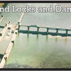
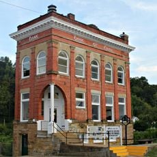
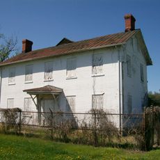
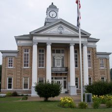
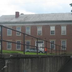
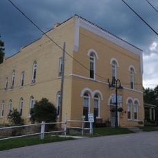
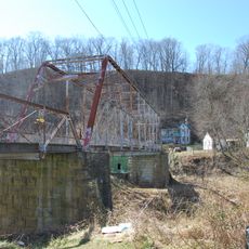
Ritchie County, Administrative division in West Virginia, United States

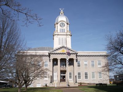
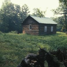
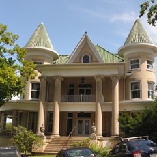
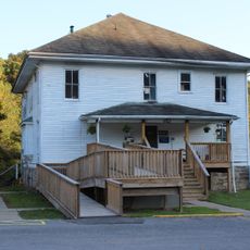
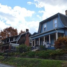
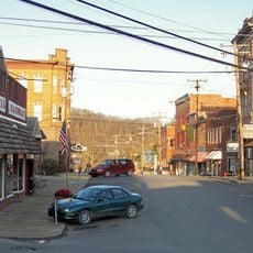
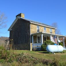
Ritchie County is an administrative division in West Virginia characterized by rolling hills, valleys, and waterways that define its rural character. The landscape includes forest areas and scattered settlements, with Harrisville serving as the county seat and government center.

The Virginia General Assembly created this county in 1843, naming it after Thomas Ritchie, an influential newspaper editor from Richmond. This founding date marks the region's growth during Virginia's 19th-century expansion.

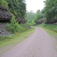
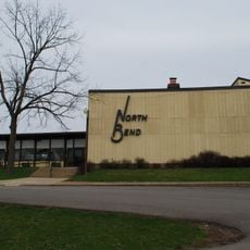
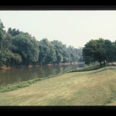
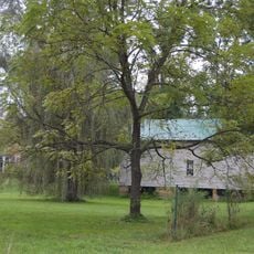
North Bend State Park sits within the county and reflects how locals connect with the surrounding forests and natural spaces. People gather here to spend time outdoors and enjoy the landscape that shapes daily life in the region.

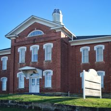
Visitors can access government services and information at Harrisville, the administrative center. The spring through fall months offer the best conditions for exploring outdoor areas and hiking trails throughout the county.

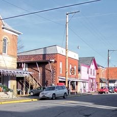
The Historic Berdine's Five and Dime store preserves retail methods and merchandise displays from the early 20th century. The shop offers a glimpse into how people shopped at small stores decades ago.

The community of curious travelers

AroundUs brings together thousands of curated places, local tips, and hidden gems, enriched daily by 60,000 contributors worldwide.

Start exploring
Location
Inception
February 18, 1843
Capital city
Harrisville
Elevation above the sea
316 m
Shares border with
Pleasants County, Calhoun County, Tyler County, Doddridge County, Gilmer County, Wirt County, Wood County
GPS coordinates
39.18000,-81.07000
Latest update
December 7, 2025 20:43
Around this place
North Bend Rail Trail
United States of America

North Bend Rail Trail

14.5 km
Hi Carpenter Memorial Bridge
United States of America

Hi Carpenter Memorial Bridge

26.3 km
North Bend State Park
United States of America

North Bend State Park

5.7 km
Willow Island Lock and Dam
United States of America

Willow Island Lock and Dam

29.3 km
Bank of Cairo
United States of America

Bank of Cairo

8.1 km
Judge Joseph Barker House
United States of America

Judge Joseph Barker House

29.9 km
Ritchie County Courthouse
United States of America

Ritchie County Courthouse

3.7 km
Burning Springs Complex
United States of America

Burning Springs Complex

30.4 km
Ruble Church
United States of America

Ruble Church

28.6 km
Wirt County Courthouse
United States of America

Wirt County Courthouse

30.9 km
Doddridge County Courthouse
United States of America

Doddridge County Courthouse

28.5 km
Lathrop Russell Charter House
United States of America

Lathrop Russell Charter House

28.6 km
Old Stone House
United States of America

Old Stone House

14.4 km
Cain House
United States of America

Cain House

26.2 km
Silas P. Smith Opera House
United States of America

Silas P. Smith Opera House

28.4 km
Pleasants County Courthouse
United States of America

Pleasants County Courthouse

26 km
Glenville Truss Bridge
United States of America

Glenville Truss Bridge

34 km
Beauchamp-Newman House
United States of America

Beauchamp-Newman House

30.8 km
John E. Arbuckle House
United States of America

John E. Arbuckle House

34 km
W. Scott Stuart House
United States of America

W. Scott Stuart House

28.5 km
Gilmer County Poor Farm Infirmary
United States of America

Gilmer County Poor Farm Infirmary

33 km
West Union Residential Historic District
United States of America

West Union Residential Historic District

28.3 km
West Union Downtown Historic District
United States of America

West Union Downtown Historic District

28.4 km
Harrisville Historic District (Harrisville, West Virginia)
United States of America

Harrisville Historic District (Harrisville, West Virginia)

3.6 km
William Wells House
United States of America

William Wells House

35.4 km
Middlebourne Historic District
United States of America

Middlebourne Historic District

37.4 km
Waernicke-Hille House and Store
United States of America

Waernicke-Hille House and Store

35.8 km
Harrisville Grade School
United States of America

Harrisville Grade School

3.5 km
Show the full map
« Ritchie County - Administrative division in West Virginia, United States » is provided by Around Us (aroundus.com). Images and texts are derived from Wikimedia project under a Creative Commons license. You are allowed to copy, distribute, and modify copies of this page, under the conditions set by the license, as long as this note is clearly visible.

Discover hidden gems everywhere you go!

From secret cafés to breathtaking viewpoints, skip the crowded tourist spots and find places that match your style. Our app makes it easy with voice search, smart filtering, route optimization, and insider tips from travelers worldwide. Download now for the complete mobile experience.

Around Us App Screenshot

A unique approach to discovering new places

Le Figaro

All the places worth exploring

France Info

A tailor-made excursion in just a few clicks

20 Minutes

Around Us
Travel Guide & Maps
Download

Send to your phone

QR Code
1

Open the camera app on your mobile.

2

Point at the QR code with your camera. A notification will appear.

3

Tap the notification to open the link.