Bracken County

Log in to your account

AroundUs is a community-driven map of interesting places, built by curious explorers like you. It grows with every review, story, and photo you share.
Connect to save your favorite spots, contribute locations, and create personalized routes.
Continue with Google
Continue with Apple
Continue with X
Continue with Facebook
Continue with email
By continuing, you accept our Terms and Conditions and our Privacy Policy
Create an account
Add to collection
Map
Suggest a change
Share

Bracken County, County in northern Kentucky, United States

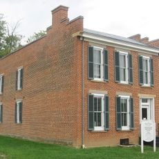
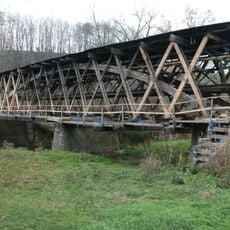
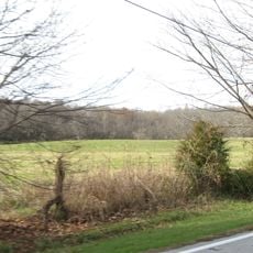
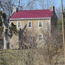
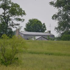
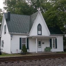
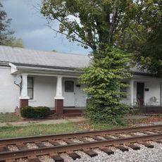
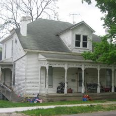
Bracken County is an administrative area in northern Kentucky, characterized by rolling terrain and mixed farmland with scattered residential communities. The region includes Brooksville, its county seat, and extends to the Ohio River boundary on its northern edge.

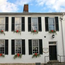
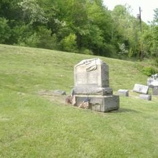
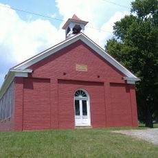
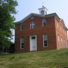
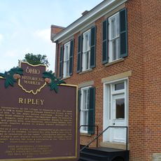
The region was founded as Kentucky's 23rd county in 1796, named after William Bracken who surveyed the local waterways. It developed as a farming community tied to the broader development of northern Kentucky during the 19th century.

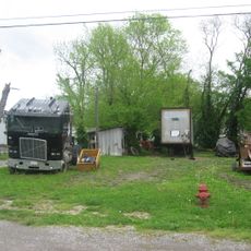
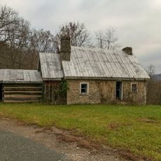
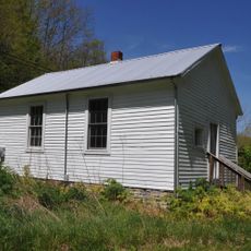
Agricultural life shapes daily routines here, with farms and pastures defining the landscape and community identity. Visitors notice how farming traditions remain central to how people relate to the land and their neighbors.

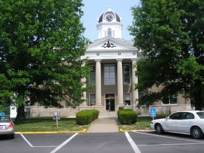
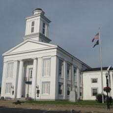
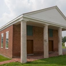
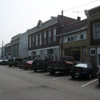
Brooksville serves as the main hub for local services and administrative functions in the county. Visitors should note that facilities are dispersed across rural areas, so having your own transportation is practical for exploring the region.

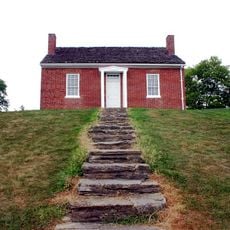
The area was birthplace of John Gregg Fee, who later founded an influential college dedicated to equality and justice. His connection to this place reflects a local history intertwined with broader American reform movements of the 1800s.

Location: Kentucky

Inception: December 14, 1796

Capital city: Brooksville

Part of: Cincinnati metropolitan area

Shares border with: Clermont County, Brown County, Mason County, Robertson County, Harrison County, Pendleton County

Website: http://brackencounty.ky.gov

GPS coordinates: 38.69000,-84.08000

Latest update: December 7, 2025 20:42

Photos
Around this place
John Rankin House
United States of America

John Rankin House

21.7 km
Grant Boyhood Home
United States of America

Grant Boyhood Home

24.9 km
Rosemary Clooney Museum
United States of America

Rosemary Clooney Museum

11.4 km
John P. Parker House
United States of America

John P. Parker House

21.1 km
Brown County Courthouse
United States of America

Brown County Courthouse

24.8 km
Johnson Creek Covered Bridge
United States of America

Johnson Creek Covered Bridge

24.9 km
Washington Historic District
United States of America

Washington Historic District

25.1 km
Bullskin Creek Site
United States of America

Bullskin Creek Site

10.4 km
Confederate Monument in Augusta
United States of America

Confederate Monument in Augusta

10.6 km
Lee's Creek Covered Bridge
United States of America

Lee's Creek Covered Bridge

18.7 km
Walcott Covered Bridge
United States of America

Walcott Covered Bridge

5.1 km
William Winter Stone House
United States of America

William Winter Stone House

22.4 km
Bracken Baptist Church
United States of America

Bracken Baptist Church

14.1 km
Immaculate Conception Catholic Church
United States of America

Immaculate Conception Catholic Church

23.2 km
Thomas Metcalf House
United States of America

Thomas Metcalf House

21.5 km
Charity's House
United States of America

Charity's House

21.9 km
Pisgah Christian Church
United States of America

Pisgah Christian Church

20.2 km
Georgetown Historic District
United States of America

Georgetown Historic District

24.8 km
Brothers-O'Neil House
United States of America

Brothers-O'Neil House

11.5 km
Leslie T. Applegate House
United States of America

Leslie T. Applegate House

22.1 km
James Weldon House
United States of America

James Weldon House

11.6 km
Wells-Keith House
United States of America

Wells-Keith House

11.5 km
Sheehan House
United States of America

Sheehan House

21.9 km
Robertson County Courthouse
United States of America

Robertson County Courthouse

18 km
Bishop House
United States of America

Bishop House

21.9 km
Ben Moran House
United States of America

Ben Moran House

22.3 km
Bradford School House
United States of America

Bradford School House

11.3 km
Ripley
United States of America

Ripley

21.1 km
Show the full map
Reviews

Visited this place? Tap the stars to rate it and share your experience / photos with the community! Try now! You can cancel it anytime.

Administrative divisions
« Bracken County - County in northern Kentucky, United States » is provided by Around Us (aroundus.com). Images and texts are derived from Wikimedia project under a Creative Commons license. You are allowed to copy, distribute, and modify copies of this page, under the conditions set by the license, as long as this note is clearly visible.

Discover hidden gems everywhere you go!

From secret cafés to breathtaking viewpoints, skip the crowded tourist spots and find places that match your style. Our app makes it easy with voice search, smart filtering, route optimization, and insider tips from travelers worldwide. Download now for the complete mobile experience.

Around Us App Screenshot

A unique approach to discovering new places

Le Figaro

All the places worth exploring

France Info

A tailor-made excursion in just a few clicks

20 Minutes