
Robeson County, Administrative county in southern North Carolina, United States
Robeson County extends across 949 square miles of land, representing the largest county by territory in North Carolina with Lumberton as its administrative center.
The county formed from Bladen County in 1787 received its name from Colonel Thomas Robeson, who commanded Patriot forces during the American Revolutionary War.
The Lumbee Tribe, North Carolina's largest Native American community, maintains its headquarters in Pembroke and organizes annual celebrations including traditional powwows.
Interstate 95 runs north-south through the county while Interstate 74 crosses east-west, connecting travelers along the Eastern Seaboard through multiple access points.
The county features a three-part demographic structure with substantial Native American, African American, and White populations, each maintaining distinct cultural traditions.
Location: North Carolina
Inception: 1786
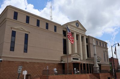
Capital city: Lumberton
Shares border with: Hoke County, Cumberland County, Bladen County, Columbus County, Scotland County, Marlboro County, Dillon County, Horry County
Website: http://co.robeson.nc.us
GPS coordinates: 34.64000,-79.11000
Latest update: May 26, 2025 20:55
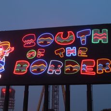
South of the Border
24.2 km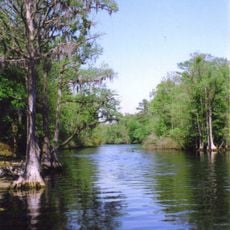
Lumber River State Park
29.5 km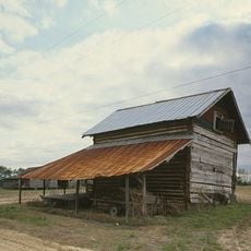
Smith Tobacco Barn
35.6 km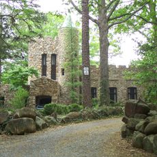
Gimghoul Neighborhood Historic District
31.1 km
Philadelphus Presbyterian Church
15.2 km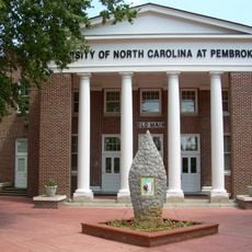
Old Main
9.8 km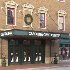
Carolina Civic Center
9.6 km
Rocky Ridge Farm Historic District
30.3 km
Shaw Family Farms
37.1 km
Big Rockfish Presbyterian Church
38.6 km
Luther Henry Caldwell House
9.3 km
Ashpole Presbyterian Church
20.9 km
Dr. Evan Alexander Erwin House
26.7 km
Robeson County Agricultural Building
9.4 km
Dillon County Courthouse
34.7 km
St. Paul's Methodist Church
32.3 km
Dillon Downtown Historic District
44.8 km
James W. Dillon House
34.6 km
Centenary Methodist Church
20.9 km
Stewart-Hawley-Malloy House
30.3 km
Hamer Hall
26.2 km
Latta Historic District No. 1
44.7 km
Cape Fear Baptist Church
39.3 km
Villa Nova
32.5 km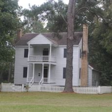
Mill Prong
33.8 km
Central School
35.3 km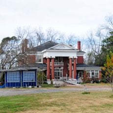
James W. Hamer House
33.5 km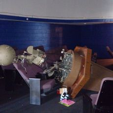
Robeson Planetarium and Science Center
4.9 kmReviews
Visited this place? Tap the stars to rate it and share your experience / photos with the community! Try now! You can cancel it anytime.
Discover hidden gems everywhere you go!
From secret cafés to breathtaking viewpoints, skip the crowded tourist spots and find places that match your style. Our app makes it easy with voice search, smart filtering, route optimization, and insider tips from travelers worldwide. Download now for the complete mobile experience.

A unique approach to discovering new places❞
— Le Figaro
All the places worth exploring❞
— France Info
A tailor-made excursion in just a few clicks❞
— 20 Minutes