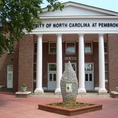
Robeson County, Administrative county in southern North Carolina, United States
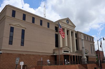
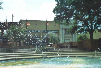
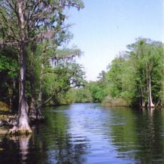
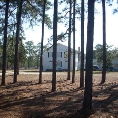
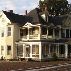
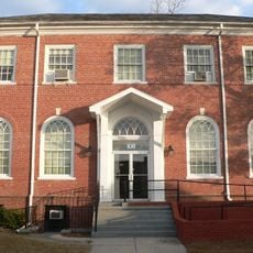
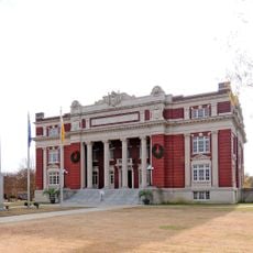
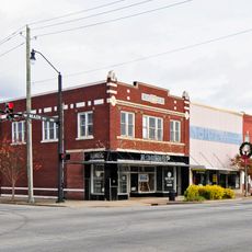
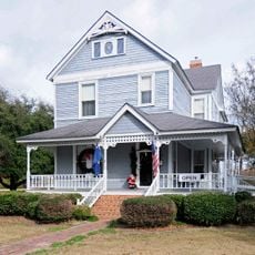
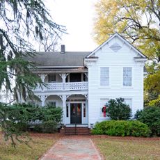
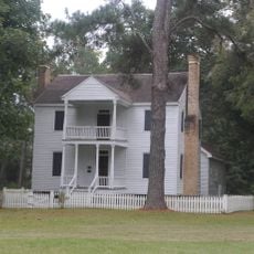
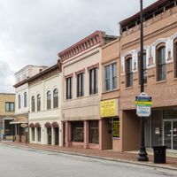
Robeson County is an administrative division in southern North Carolina spanning roughly 950 square miles (2,460 square kilometers), making it the largest in the state by land area. Lumberton serves as the county seat, while forests, farmland, and small towns alternate across the territory.
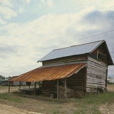
The division was created in 1787 from parts of Bladen County and named after Colonel Thomas Robeson, a Patriot officer in the Revolutionary War. Over the following decades, cotton farming and timber shaped the local economy.
The Lumbee community gathers regularly in Pembroke for powwows that feature drumming, dancers in regalia, and shared meals open to visitors. Around these events, generations connect through storytelling and songs passed down by elders.
Interstate 95 runs north to south through the area, while Interstate 74 crosses from east to west, offering several exit points. Gas stations and rest stops line both highways, especially around Lumberton.
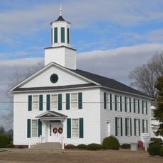
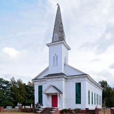
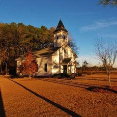
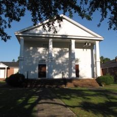
The territory is home to three large population groups that each maintain separate schools, churches, and festivals. In some places, separate cemeteries reflect the historical dividing lines between communities.
The community of curious travelers
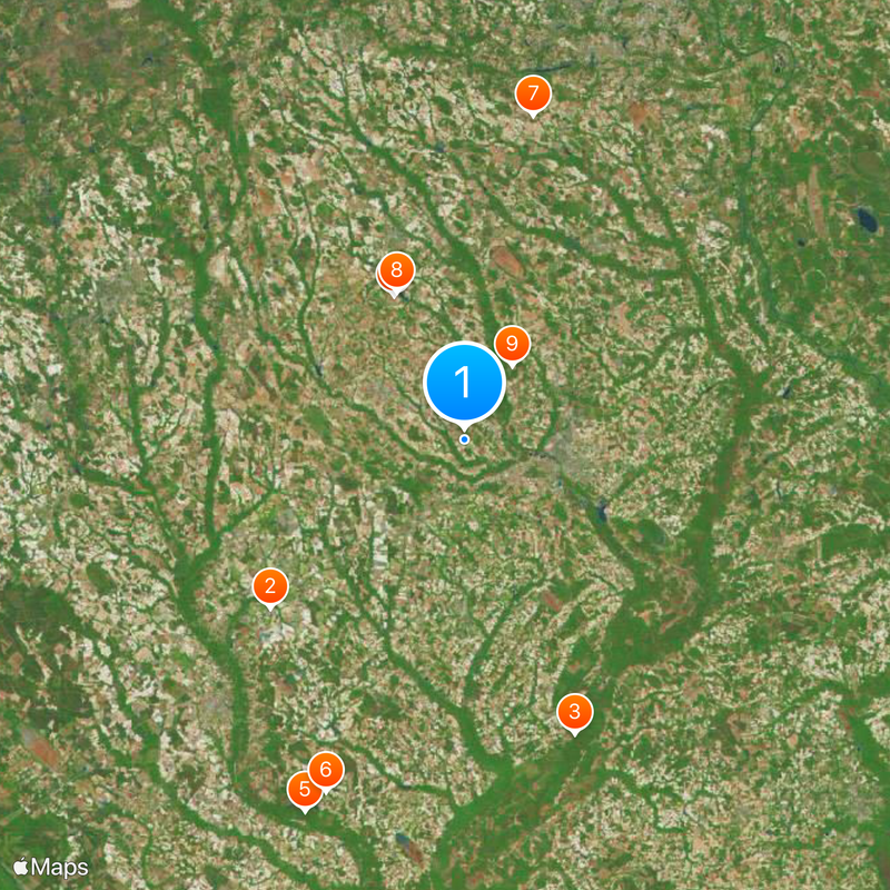
AroundUs brings together thousands of curated places, local tips, and hidden gems, enriched daily by 60,000 contributors worldwide.