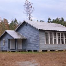
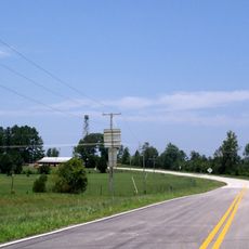
Lunenburg County, Administrative county in Virginia, US
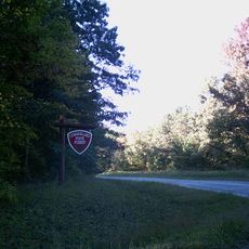
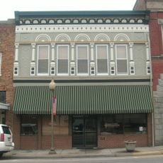
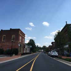
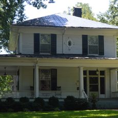
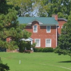
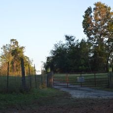
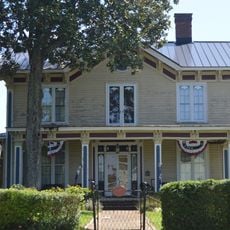
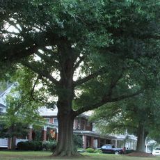
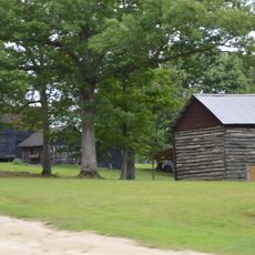
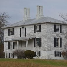
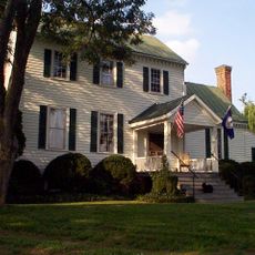
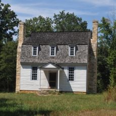
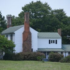
Lunenburg County is an administrative area in Virginia that blends farmland, forested regions, and residential communities across its territory. The landscape consists of open rural spaces interspersed with small towns and residential developments characteristic of central Virginia's countryside.
The county was established in 1746 after separating from an earlier jurisdiction and was named after a German region connected to the British royal family. This choice of name demonstrates the historical links between English colonial territories and European ruling houses.
The county's name reflects ties to German territories, a connection that shaped its early identity. Visitors exploring local history often discover how these distant roots influenced the way the region developed.
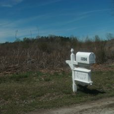
The area is accessible by road and managed by a local governing body with information available online. Visitors should plan ahead since the region is rural and specific services or attractions may require travel to reach them.
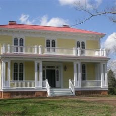
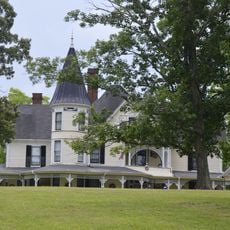
An early settler family established substantial landholdings here, and one member held a major administrative position for multiple decades. This lengthy tenure shaped local governance and remains part of the region's memory.
The community of curious travelers
AroundUs brings together thousands of curated places, local tips, and hidden gems, enriched daily by 60,000 contributors worldwide.