Enable Location

We need your location to show you interesting places around you

Discover nearby places

Find interesting locations and hidden gems around you

Precise directions

Get accurate directions and distances to places

Your location is never shared with other users. It's only used when you tap the location button.

Franklin County

Log in to your account

Start exploring — it's free

Trusted by 61,993 travelers worldwide

Continue with Google
Continue with Apple
or

We will send you a code to connect

By continuing, you accept our Terms and Conditions and our Privacy Policy

Check your inbox

We've sent a pincode in your inbox. Please enter the code below.

Franklin County, County administrative division in North Carolina, United States.

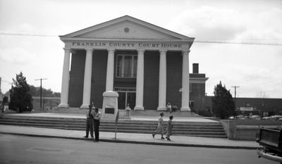
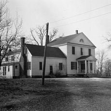
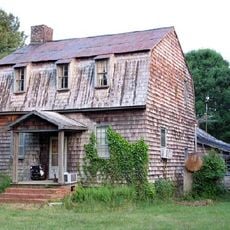
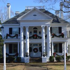
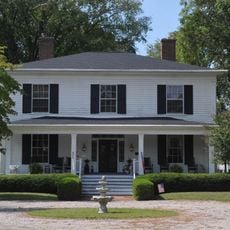
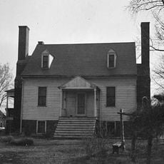
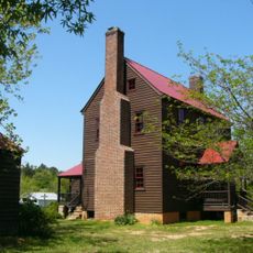
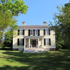
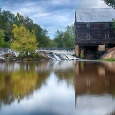
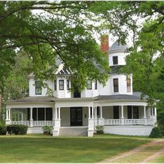
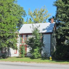
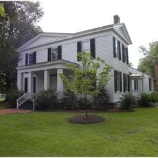
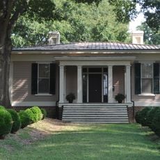
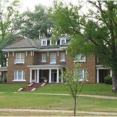
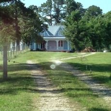
Franklin County is an administrative division in North Carolina covering rural farmland, forests, and some suburban areas with Louisburg serving as its governmental center. The territory includes small towns and villages connected by roads that pass through fields and wooded areas.

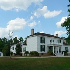
The North Carolina General Assembly created this county in 1779 from parts of the former Bute County and chose to honor Benjamin Franklin with its name. Over following centuries, the area developed as an agricultural region with small farming communities.

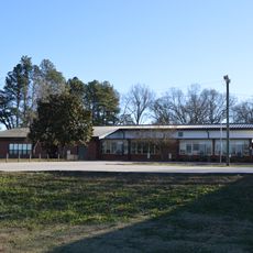
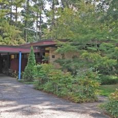
The Franklin County Board of Commissioners maintains multiple community centers that host educational programs, fitness classes, and social activities throughout the year.

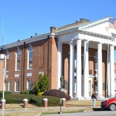
Visitors can access county government services at the administration building in Louisburg, which handles taxes, permits, and public records during regular business hours. Planning visits during weekday mornings typically ensures shorter wait times at service counters.

This area sits between traditional farming regions and the expanding technology centers found in neighboring Wake and Durham counties. Its position offers visitors a view of how rural and modern economic areas exist side by side in the same region.

The community of curious travelers

AroundUs brings together thousands of curated places, local tips, and hidden gems, enriched daily by 60,000 contributors worldwide.

Start exploring
Location
Inception
1779
Capital city
Louisburg
Shares border with
Warren County, Halifax County, Nash County, Johnston County, Wake County, Granville County, Vance County
GPS coordinates
36.08000,-78.28000
Latest update
December 20, 2025 15:48
Around this place
Midway Plantation House and Outbuildings
United States of America

Midway Plantation House and Outbuildings

34.5 km
St. Catherine of Siena Catholic Church
United States of America

St. Catherine of Siena Catholic Church

25 km
Triangle Metro Zoo
United States of America

Triangle Metro Zoo

21.3 km
Person Place
United States of America

Person Place

3.2 km
Rose Hill
United States of America

Rose Hill

24.6 km
Sterling Cotton Mill
United States of America

Sterling Cotton Mill

16.1 km
Shemuel Kearney House
United States of America

Shemuel Kearney House

18.1 km
Josiah Crudup House
United States of America

Josiah Crudup House

19.4 km
Bissette-Cooley House
United States of America

Bissette-Cooley House

30.6 km
Fuller House
United States of America

Fuller House

3.2 km
Capehart House
United States of America

Capehart House

30.1 km
Forestville Baptist Church
United States of America

Forestville Baptist Church

25.4 km
Dr. Calvin Jones House
United States of America

Dr. Calvin Jones House

23.1 km
Green Hill House
United States of America

Green Hill House

2.3 km
Andrews-Moore House
United States of America

Andrews-Moore House

12 km
George and Neva Barbee House
United States of America

George and Neva Barbee House

28.6 km
Louisburg Historic District
United States of America

Louisburg Historic District

3.1 km
Dr. Samuel Perry House
United States of America

Dr. Samuel Perry House

17.5 km
Laurel Mill and Col. Jordan Jones House
United States of America

Laurel Mill and Col. Jordan Jones House

13.5 km
Nash County Courthouse
United States of America

Nash County Courthouse

30.4 km
Dr. J. H. Harris House
United States of America

Dr. J. H. Harris House

15.6 km
Purefoy-Chappell House and Outbuildings
United States of America

Purefoy-Chappell House and Outbuildings

25.1 km
Kenansville Historic District
United States of America

Kenansville Historic District

31.5 km
Williamson House
United States of America

Williamson House

2.7 km
Aldridge H. Vann House
United States of America

Aldridge H. Vann House

16.1 km
Franklin County Training School-Riverside Union School
United States of America

Franklin County Training School-Riverside Union School

2.9 km
Thomas and Lois Wheless House
United States of America

Thomas and Lois Wheless House

2.7 km
Thomas Capehart House
United States of America

Thomas Capehart House

23.7 km
Show the full map
Administrative divisions
« Franklin County - County administrative division in North Carolina, United States » is provided by Around Us (aroundus.com). Images and texts are derived from Wikimedia project under a Creative Commons license. You are allowed to copy, distribute, and modify copies of this page, under the conditions set by the license, as long as this note is clearly visible.

Discover hidden gems everywhere you go!

From secret cafés to breathtaking viewpoints, skip the crowded tourist spots and find places that match your style. Our app makes it easy with voice search, smart filtering, route optimization, and insider tips from travelers worldwide. Download now for the complete mobile experience.

Around Us App Screenshot

A unique approach to discovering new places

Le Figaro

All the places worth exploring

France Info

A tailor-made excursion in just a few clicks

20 Minutes

Around Us
Travel Guide & Maps
Download

Send to your phone

QR Code
1

Open the camera app on your mobile.

2

Point at the QR code with your camera. A notification will appear.

3

Tap the notification to open the link.