Millbury, town in Worcester County, Massachusetts, United States
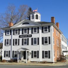
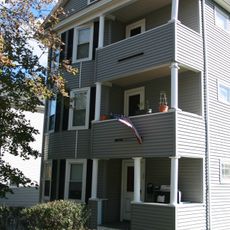
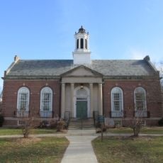
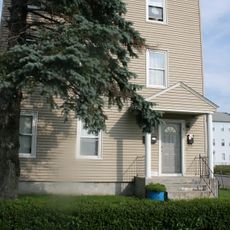
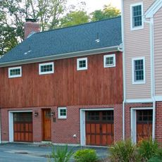
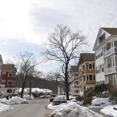
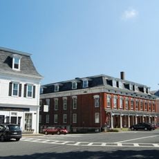
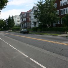
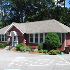
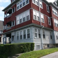
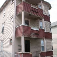
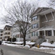
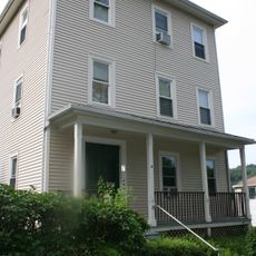
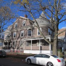
Millbury is a small town in Worcester County, Massachusetts, with a mix of older homes and modern residential neighborhoods spread across gently rolling terrain. The town has a compact downtown area with local shops and dining options, while parks and green spaces provide relief from the built environment.
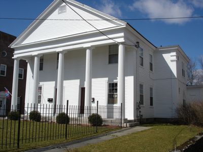
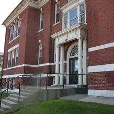
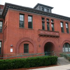
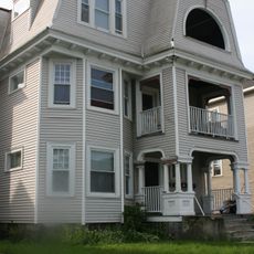
Millbury separated from Sutton in 1813 and grew rapidly during America's early industrial period, powered by the Blackstone River's water resources. In the 1800s, mills producing paper, textiles, and metal goods flourished, making the town an important manufacturing hub for the region.
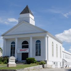
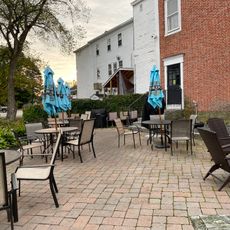
Millbury maintains its identity as a tight-knit New England town where residents gather at community events and local markets throughout the year. This social fabric remains visible in how neighbors interact and in the way the town celebrates shared traditions and holidays together.
Visitors should expect flat, easy-to-walk streets and can comfortably navigate between downtown and parks on foot. The best time to visit is during community festivals and markets held throughout the year, which showcase full activity and local engagement.
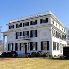
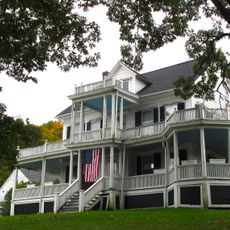
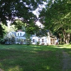
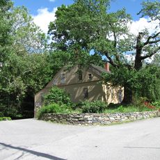
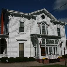
The Asa Waters Mansion is a large historic house that hosts weddings and community events while displaying visible architecture from earlier times. Dorothy Pond and Lake Singletary are quieter local spots where visitors can fish, boat, or simply sit by the water in peaceful natural surroundings.
The community of curious travelers
AroundUs brings together thousands of curated places, local tips, and hidden gems, enriched daily by 60,000 contributors worldwide.