Bladen County

Log in to your account

AroundUs is a community-driven map of interesting places, built by curious explorers like you. It grows with every review, story, and photo you share.
Connect to save your favorite spots, contribute locations, and create personalized routes.
Continue with Google
Continue with Apple
Continue with X
Continue with Facebook
Continue with email
By continuing, you accept our Terms and Conditions and our Privacy Policy
Create an account
Add to collection
Map
Suggest a change
Share

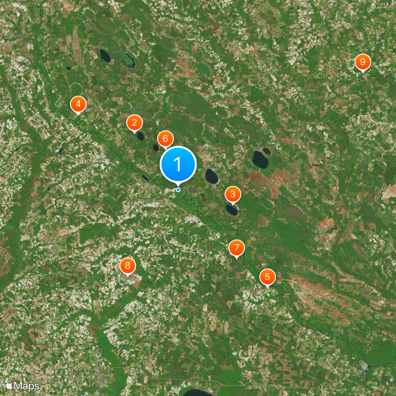
Bladen County, County division in North Carolina, US

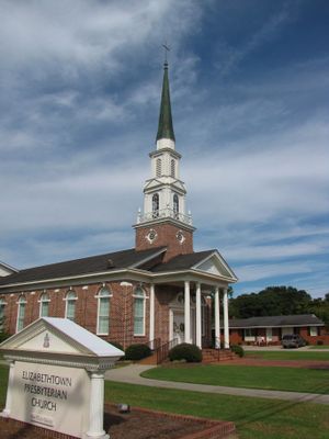
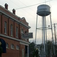
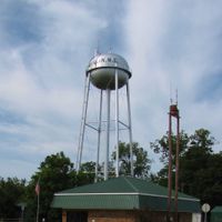
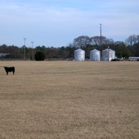
Bladen County is an administrative division in southeastern North Carolina that covers a large rural area with the Cape Fear River running through it. The landscape is primarily agricultural, with Elizabethtown serving as its administrative center.

Established in 1734 during colonial times, the county was named after Martin Bladen, a British official involved in colonial administration. Over the following centuries, it served as the source from which many other counties were created.

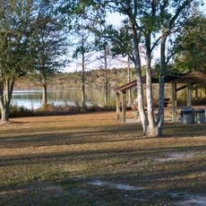
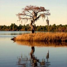
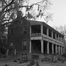
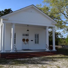
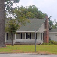
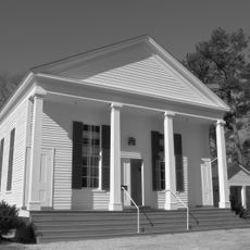
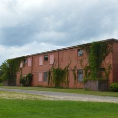
The area reflects a rural farming heritage where agriculture shapes the landscape and local economy through crops and livestock operations. You can see this agricultural character woven throughout the communities and countryside.

The Bladen County Courthouse in Elizabethtown is the main hub for local government services and county information. This centrally located building serves as a good starting point for understanding the county's structure and operations.

The county is recognized as the source region for North Carolina's territorial expansion, with more than half of the state's current counties originating from its original boundaries. This role makes it a foundational piece of the state's growth and division.

Location: North Carolina

Inception: 1734

Capital city: Elizabethtown

Shares border with: Cumberland County, Sampson County, Pender County, Columbus County, Robeson County

Website: http://bladeninfo.org

GPS coordinates: 34.62000,-78.56000

Latest update: December 20, 2025 12:40

Photos
Around this place
Jones Lake State Park
United States of America

Jones Lake State Park

12.4 km
Singletary Lake State Park
United States of America

Singletary Lake State Park

9.6 km
Harmony Hall
United States of America

Harmony Hall

21.4 km
Oakland Plantation
United States of America

Oakland Plantation

22.5 km
United States of America

Turnbull Creek Educational State Forest

7.4 km
Mt. Horeb Presbyterian Church and Cemetery
United States of America

Mt. Horeb Presbyterian Church and Cemetery

15.3 km
John Hector Clark House
United States of America

John Hector Clark House

17 km
Dell School Campus
United States of America

Dell School Campus

37.5 km
White Lake Water Park
United States of America

White Lake Water Park

4.8 km
United States of America

Walnut Grove

23.8 km
Black River Presbyterian and Ivanhoe Baptist Churches
United States of America

Black River Presbyterian and Ivanhoe Baptist Churches

29.4 km
United States of America

Beatty-Corbett House

29.1 km
United States of America

Brown Marsh Presbyterian Church

12.7 km
United States of America

Carver's Creek Methodist Church

23 km
United States of America

Purdie House and Purdie Methodist Church

19.9 km
United States of America

Desserette

27.7 km
United States of America

South River Presbyterian Church

19 km
United States of America

Gilmore-Patterson Farm

32.3 km
United States of America

Samuel Johnson House and Cemetery

30.9 km
United States of America

Dr. John B. Seavey House and Cemetery

32 km
United States of America

Murphy-Lamb House and Cemetery

26.8 km
United States of America

Trinity Methodist Church

4 km
United States of America

James H. Lamb House

27.4 km
Bladen County Training School
United States of America

Bladen County Training School

5.3 km
United States of America

Singletary Millpond

21 km
United States of America

Cypress Lake

31.1 km
United States of America

Kings Bluff

34.6 km
United States of America

Bloody Bluff

27.6 km
Show the full map
Reviews

Visited this place? Tap the stars to rate it and share your experience / photos with the community! Try now! You can cancel it anytime.

« Bladen County - County division in North Carolina, US » is provided by Around Us (aroundus.com). Images and texts are derived from Wikimedia project under a Creative Commons license. You are allowed to copy, distribute, and modify copies of this page, under the conditions set by the license, as long as this note is clearly visible.

Discover hidden gems everywhere you go!

From secret cafés to breathtaking viewpoints, skip the crowded tourist spots and find places that match your style. Our app makes it easy with voice search, smart filtering, route optimization, and insider tips from travelers worldwide. Download now for the complete mobile experience.

Around Us App Screenshot

A unique approach to discovering new places

Le Figaro

All the places worth exploring

France Info

A tailor-made excursion in just a few clicks

20 Minutes