Owsley County, County seat in eastern Kentucky, United States
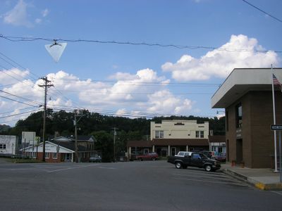
Owsley County is an administrative division in eastern Kentucky that encompasses several small communities centered around Booneville. The landscape consists of forested hills, river valleys, and the Kentucky River, which flows through the region.
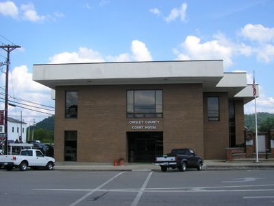
The area was established in 1843 when Elias Moore donated land for Booneville, which became the county seat in 1847. The region developed as part of Appalachian communities with a history rooted in self-reliance and local connections.
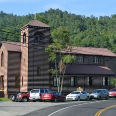
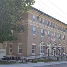
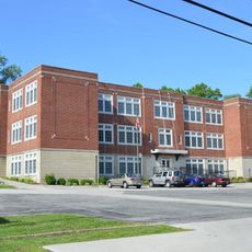
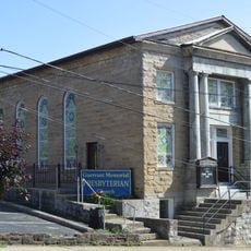
The Moyers Building, listed in the National Register of Historic Places since 1982, represents the architectural heritage of Owsley County.
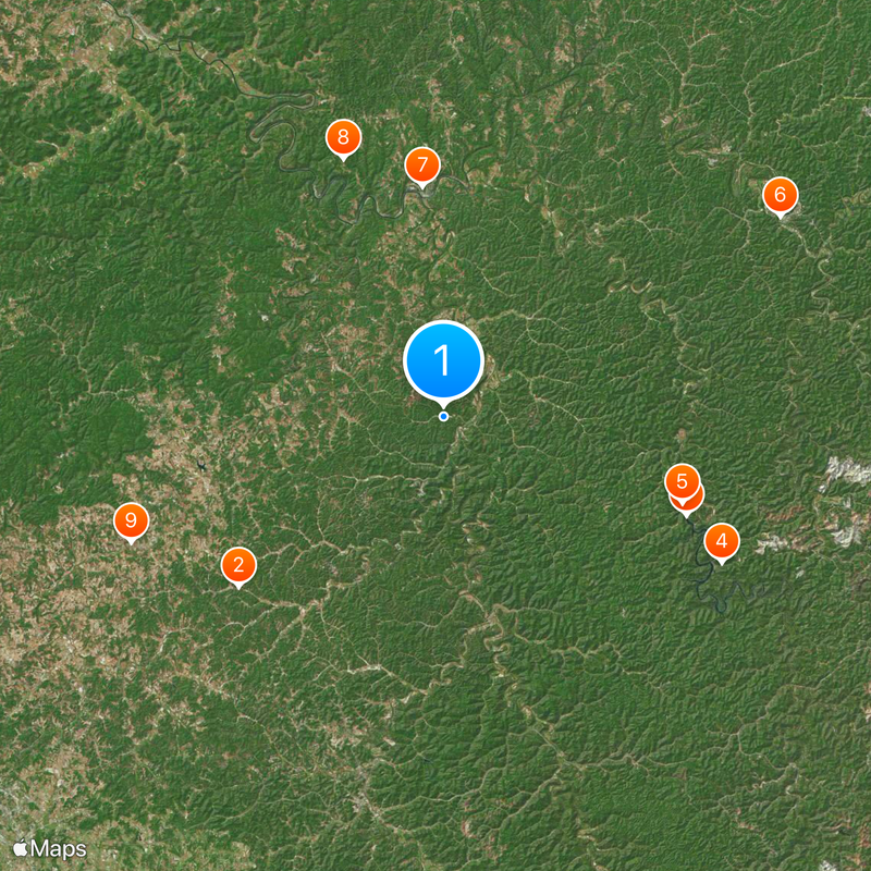
Roads follow the natural terrain and connect the scattered communities through rural routes; local signage provides the best orientation. A vehicle is necessary for getting around since the region is sparsely populated and lacks public transportation.
Charles E. Long held the position of Booneville mayor from 1959 to 2019, marking six decades of continuous leadership in local government.
Location: Kentucky
Inception: January 23, 1843
Capital city: Booneville
Shares border with: Clay County, Perry County, Breathitt County, Lee County, Jackson County
Website: http://owsleycountykentucky.org
GPS coordinates: 37.41000,-83.69000
Latest update: December 17, 2025 09:26
Daniel Boone National Forest
21.3 kmBuckhorn Lake
20.9 kmBuckhorn Lake State Resort Park
25.1 km
Buckhorn Presbyterian Church and the Greer Gymnasium
20.2 km
Jackson Post Office
31.2 km
St. Thomas Episcopal Church
18.5 km
St. Therese Catholic Church
22.1 km
Annville Institute
27 kmArthur Lakes Log House
25.4 km
Peabody-Fordson Historic District
31.5 km
Beattyville Grade School
18.2 km
Jackson Commercial District
31.3 kmCamp AJ
29.6 kmK-9 Rock Overlook
29 kmBig Hickory Golf Course
26.9 kmScenic viewpoint
22.6 kmDead Cove Overlook
29.1 kmCave Hollow Overlook
28.7 kmScenic viewpoint
28.4 kmThe Undertow
26.3 kmScenic viewpoint
24.6 kmFlat Hollow Falls
25.9 kmWaterfall
26.3 kmFlat Lick Falls
22.6 kmWind Cave Cascades
23.4 kmMcCammon Falls
22.7 kmAlcorn Branch Falls
21.2 kmTurkey Foot Loop Trail Falls
20.8 kmVisited this place? Tap the stars to rate it and share your experience / photos with the community! Try now! You can cancel it anytime.
Discover hidden gems everywhere you go!
From secret cafés to breathtaking viewpoints, skip the crowded tourist spots and find places that match your style. Our app makes it easy with voice search, smart filtering, route optimization, and insider tips from travelers worldwide. Download now for the complete mobile experience.
A unique approach to discovering new places❞
— Le Figaro
All the places worth exploring❞
— France Info
A tailor-made excursion in just a few clicks❞
— 20 Minutes