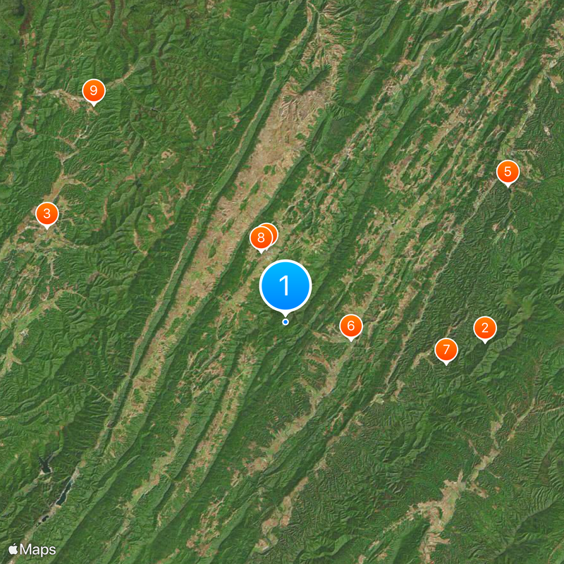
Highland County, Rural county in western Virginia, United States
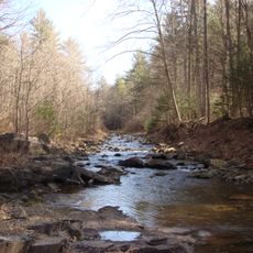
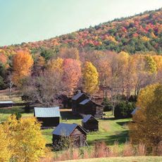
Highland County is a rural county in the mountains of western Virginia, stretching across mountainous terrain at high elevation with scattered small communities. The landscape is dominated by ridges and valleys with few towns and limited development across the area.
The county was founded in 1847 when the State of Virginia combined parts of two neighboring districts to create a new administrative area. This establishment allowed the mountain region to have its own local government.
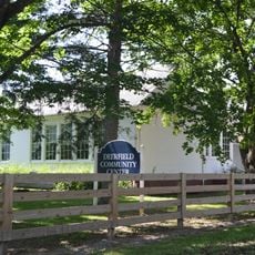
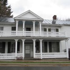
The local museum displays objects and documents that tell the story of how people lived in this mountain region over time. Visitors can see artifacts that show what daily life and important events meant to the communities here.
The terrain is hilly and roads are sparse, so a car is needed to travel around the area. Be ready for long drives between places, and remember that weather in the mountains can change quickly.
The region is known for sheep farming, with many small farms dotting the landscape where herders maintain their flocks on the green hills. This farming tradition is a major part of life and the economy here.
Location: Virginia
Inception: 1847
Capital city: Monterey
Shares border with: Pendleton County, Pocahontas County, Bath County, Augusta County
Website: http://highlandcova.org
GPS coordinates: 38.35000,-79.56000
Latest update: December 20, 2025 13:52
Ramsey's Draft Wilderness
18.9 km
Reber Radio Telescope
24.2 km
Monterey Hotel
7.2 kmBrushy Fork Lake
24.6 km
Crab Run Lane Truss Bridge
6.3 km
Fort Edward Johnson
15.6 km
Monterey High School
7 km
Camp Bartow Historic District
27.4 km
Bowers House
28.3 km
Deerfield School
21.9 km
Ananias Pitsenbarger Farm
33 km
Mansion House
6.1 km
McClung Farm Historic District
9.1 km
C.P. Jones House and Law Office
7.3 km
Green Bank Observatory Science Center
24.2 km
Green Bank Jansky Antenna
24.1 kmLittle River Wildlife Management Area
28.1 kmOld House Run Recreation Area
24 kmBlue Grass Theatre
14 kmCamp Allegheny
19.9 kmFort Edward Johnson (1862)
16 kmEagle’s Sugar Camp
10.9 kmRexrode’s Sugar Orchard
11 kmPuffenbarger Sugar Camp
12.5 kmMorning Glories and Moonflowers
7.2 kmScenic viewpoint
20.1 kmScenic viewpoint
15.9 kmSounding Knob Fire Tower
5.1 kmVisited this place? Tap the stars to rate it and share your experience / photos with the community! Try now! You can cancel it anytime.
Discover hidden gems everywhere you go!
From secret cafés to breathtaking viewpoints, skip the crowded tourist spots and find places that match your style. Our app makes it easy with voice search, smart filtering, route optimization, and insider tips from travelers worldwide. Download now for the complete mobile experience.
A unique approach to discovering new places❞
— Le Figaro
All the places worth exploring❞
— France Info
A tailor-made excursion in just a few clicks❞
— 20 Minutes