
Mingo County, County in southwestern West Virginia, United States
The county spans 424 square miles across a region defined by forests, hills, and the Tug Fork River in the Cumberland Mountains area.
Established on January 30, 1895, Mingo County emerged from parts of Logan and Wayne Counties as the last county formed in West Virginia.
The region maintains strong ties to its coal mining heritage, with numerous families continuing traditions passed down through generations of miners.
The county seat of Williamson functions as the administrative center, providing governmental services and hosting regular community gatherings.
The Buffalo Mountain ATV Trail System attracts visitors to explore the mountainous terrain through an extensive network of designated paths.
Location: West Virginia
Inception: January 30, 1895
Capital city: Williamson
Shares border with: Lincoln County, Logan County, Wyoming County, McDowell County, Pike County, Martin County, Wayne County, Buchanan County
Website: http://mingocountywv.com
GPS coordinates: 37.73000,-82.14000
Latest update: May 27, 2025 07:13
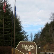
Breaks Interstate Park
50.2 km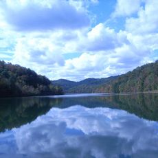
Jenny Wiley State Resort Park
51.4 km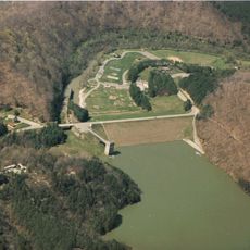
Dewey Lake
51.8 km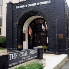
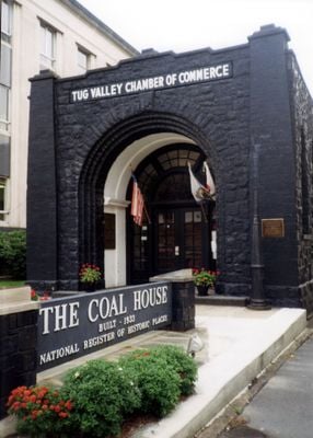
Coal House
13.7 km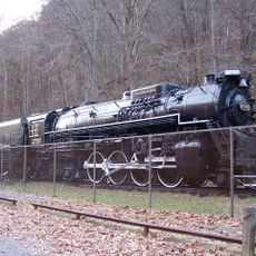
Chief Logan State Park
21.2 km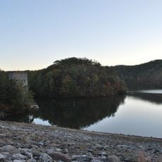
East Lynn Lake
50.9 km
Fishtrap Lake
41.1 km
Cabwaylingo State Forest
33.5 km
Chesapeake and Ohio 2755
21.5 km
Elkhorn City Railroad Museum
50.5 km
Fishtrap Lake State Park
41.1 km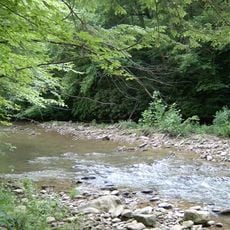
Panther Wildlife Management Area
41.3 km
Big Sandy Heritage Center
43.6 km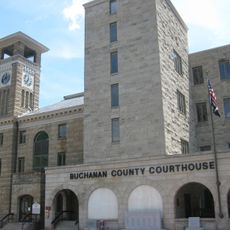
Buchanan County Courthouse
50.5 km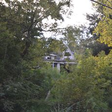
Martin Himler House
29.1 km
Madison National Bank
46.5 km
Boone County Courthouse
46.9 km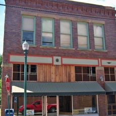
Foster Hardware
51.7 km
College Street Historic District
43.8 km
Pikeville College Academy Building
44 km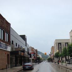
Williamson Historic District
13.4 km
Martin County Courthouse
38.2 km
Pikeville Commercial Historic District
43.5 km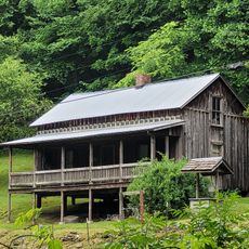
Loretta Lynn's Homeplace
50 km
Matewan Depot Replica Welcome Center and Museum
12.2 km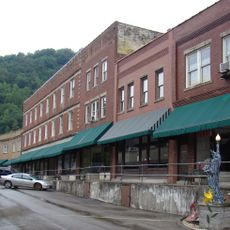
Matewan Historic District
12.2 km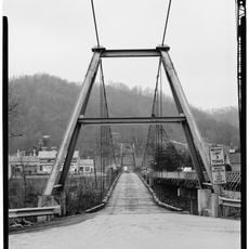
Boldman Bridge
47.6 km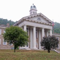
Wyoming County Courthouse and Jail
55.5 kmReviews
Visited this place? Tap the stars to rate it and share your experience / photos with the community! Try now! You can cancel it anytime.
Discover hidden gems everywhere you go!
From secret cafés to breathtaking viewpoints, skip the crowded tourist spots and find places that match your style. Our app makes it easy with voice search, smart filtering, route optimization, and insider tips from travelers worldwide. Download now for the complete mobile experience.

A unique approach to discovering new places❞
— Le Figaro
All the places worth exploring❞
— France Info
A tailor-made excursion in just a few clicks❞
— 20 Minutes