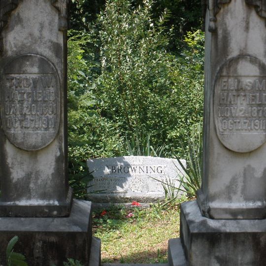
Logan County, County administrative division in southwestern West Virginia, United States.
Located along the Guyandotte River, Logan County encompasses 456 square miles of mountainous terrain with numerous coal mining operations throughout the region.
The county was established in 1824 from parts of Giles, Tazewell, Cabell, and Kanawha counties, named after the Native American Mingo leader Chief Logan.
The area holds strong connections to coal mining heritage, with numerous mining communities scattered across the county and the Logan city serving as its administrative center.
Major transportation routes include U.S. Highway 52 and U.S. Highway 119, connecting residents to neighboring counties and providing access to regional commercial centers.
In 1921, Logan County witnessed the Battle of Blair Mountain, where 10,000 coal miners confronted law enforcement in the largest armed labor uprising in United States history.
Location: West Virginia
Inception: January 12, 1824
Capital city: Logan
Shares border with: Lincoln County, Mingo County, Wyoming County, Boone County
Website: http://logancounty.wv.gov
GPS coordinates: 37.83000,-81.94000
Latest update: May 27, 2025 08:38
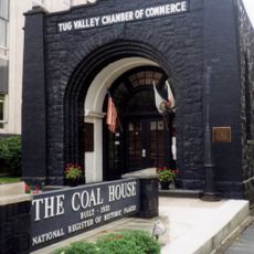
Coal House
34.5 km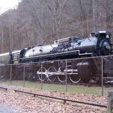
Chief Logan State Park
9.9 km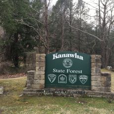
Kanawha State Forest
56.6 km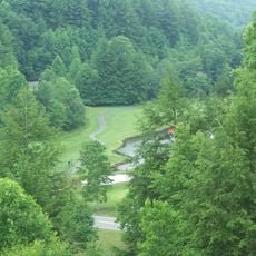
Twin Falls Resort State Park
48.2 km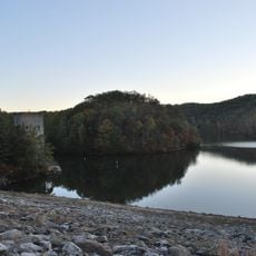
East Lynn Lake
52.4 km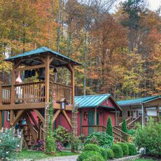
Hermitage of the Holy Cross
56.9 km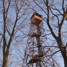
Cabwaylingo State Forest
40.7 km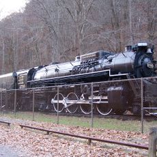
Chesapeake and Ohio 2755
9.3 km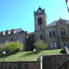
McDowell County Courthouse
54.2 km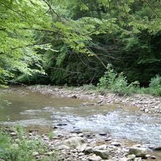
Panther Wildlife Management Area
45.6 km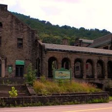
Itmann Company Store and Office
54.1 km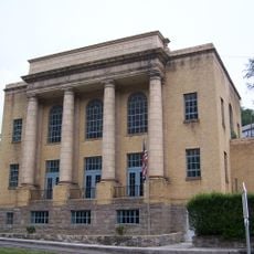
World War Memorial
59.1 km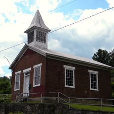
Ebenezer Chapel
56.3 km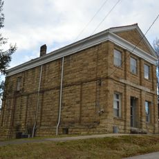
Lincoln National Bank
51.8 km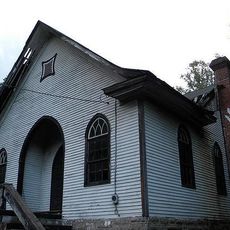
Wyco Church
58.5 km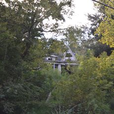
Martin Himler House
43.9 km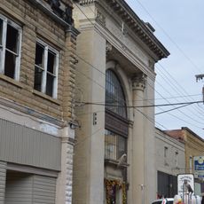
Madison National Bank
28 km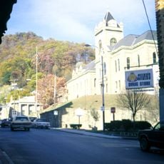
Welch Commercial Historic District
54.2 km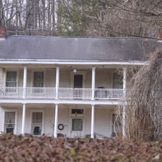
Holley Hills Estate
48 km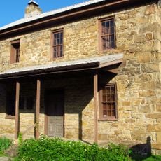
Samuel Shrewsbury, Sr. House
57.1 km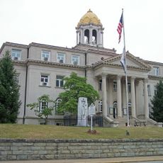
Boone County Courthouse
28.4 km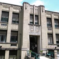
Whitesville School
39.3 km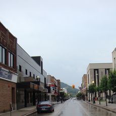
Williamson Historic District
34.1 km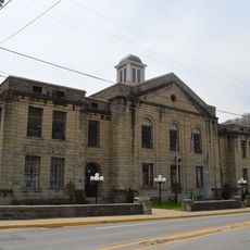
Martin County Courthouse
52.8 km
Matewan Depot Replica Welcome Center and Museum
30.6 km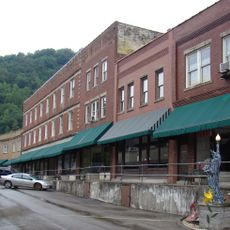
Matewan Historic District
30.4 km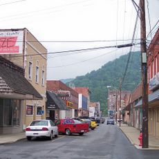
Mullens Historic District
56.1 km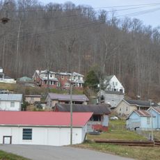
Nellis Historic District
40.1 kmReviews
Visited this place? Tap the stars to rate it and share your experience / photos with the community! Try now! You can cancel it anytime.
Discover hidden gems everywhere you go!
From secret cafés to breathtaking viewpoints, skip the crowded tourist spots and find places that match your style. Our app makes it easy with voice search, smart filtering, route optimization, and insider tips from travelers worldwide. Download now for the complete mobile experience.

A unique approach to discovering new places❞
— Le Figaro
All the places worth exploring❞
— France Info
A tailor-made excursion in just a few clicks❞
— 20 Minutes
