Buchanan County, County division in southwestern Virginia, United States.
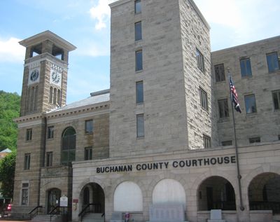
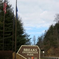
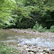
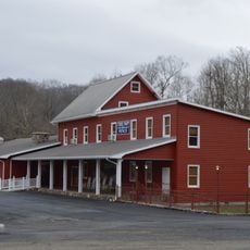
Buchanan County is an administrative division in southwestern Virginia that covers mountainous terrain with dense forests and narrow valleys. The area borders Kentucky and West Virginia, with Grundy serving as the county seat where government services operate.
The county was established in 1858 when the Virginia General Assembly combined portions of Russell and Tazewell counties and named it after President James Buchanan. Coal mining and timber operations later became the economic foundation that shaped settlement patterns throughout the region.
The region holds strong community ties rooted in Appalachian heritage, where families have lived for generations and maintain local traditions. Visitors notice how residents value their roots and take pride in the area's coal mining and timber heritage that shaped the land.
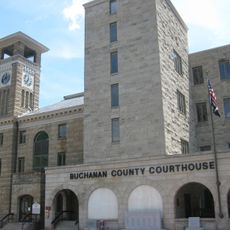
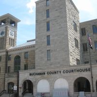
Administrative services and government records are located at the Government Center in Grundy, the main hub for county information. It helps to check with local offices before visiting to learn about road conditions and available facilities in remote areas.
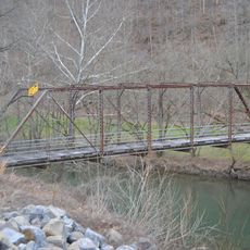
The area has a network of old railroad routes that once transported coal from mines and timber from forests, now visible as abandoned grades or restored heritage trails. These routes tell the story of how remote mountain communities were built around resource extraction and remain physical evidence of that era.
The community of curious travelers
AroundUs brings together thousands of curated places, local tips, and hidden gems, enriched daily by 60,000 contributors worldwide.